
Pawnee Buttes
The Pawnee Buttes are two sandstone towers that rise 300 feet above the shortgrass prairie of the Pawnee National Grassland in far northeastern Weld County, about 13 miles south of the Wyoming line. A 2-mile trail crosses the open plains to the West Butte, and the big-sky silence, nesting falcons and wide horizons make it one of the most surprising hikes in Colorado.
Pawnee Buttes in Grover, CO
The buttes are what’s left of layers of sediment that once covered this part of the High Plains. Over millions of years, wind and water carried away the surrounding land, while harder caprock protected the two towers, leaving them standing alone above the grass. The crumbling cliffs are home to nesting hawks, eagles and falcons, and the grassland around them is famous among birders for its prairie species. The buttes are so iconic that author James Michener featured them in his novel Centennial. Today they sit inside the Pawnee National Grassland, managed by the U.S. Forest Service, a patchwork of public prairie mixed with private ranch land where cattle still graze.
The Pawnee Buttes Trail starts at a small trailhead with vault toilets and picnic tables, then drops off the escarpment and rolls across the prairie for about 2 miles to the base of the West Butte. The East Butte stands on private land, so enjoy it from a distance. The Forest Service asks hikers not to climb the buttes or the bluffs along the trail, since the sandstone crumbles easily, and the trail is closed to mountain bikes, though horses are welcome. There is no shade and no water, so this is a hike for cool mornings and evenings, when the light turns the buttes gold and the wind-swept grass glows. On the drive in, you’ll pass windmills, stock tanks and miles of quiet county roads.
Photo Gallery
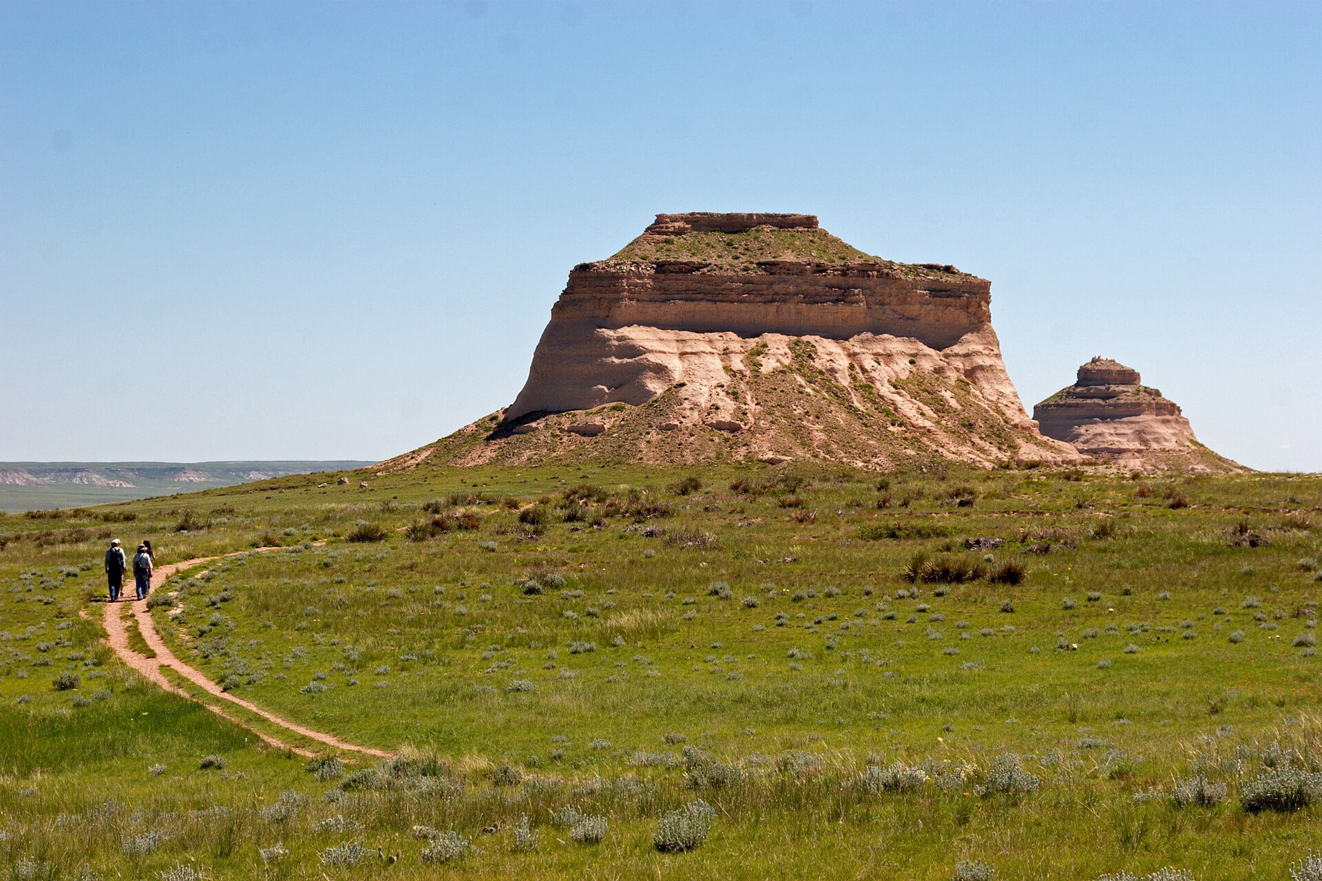
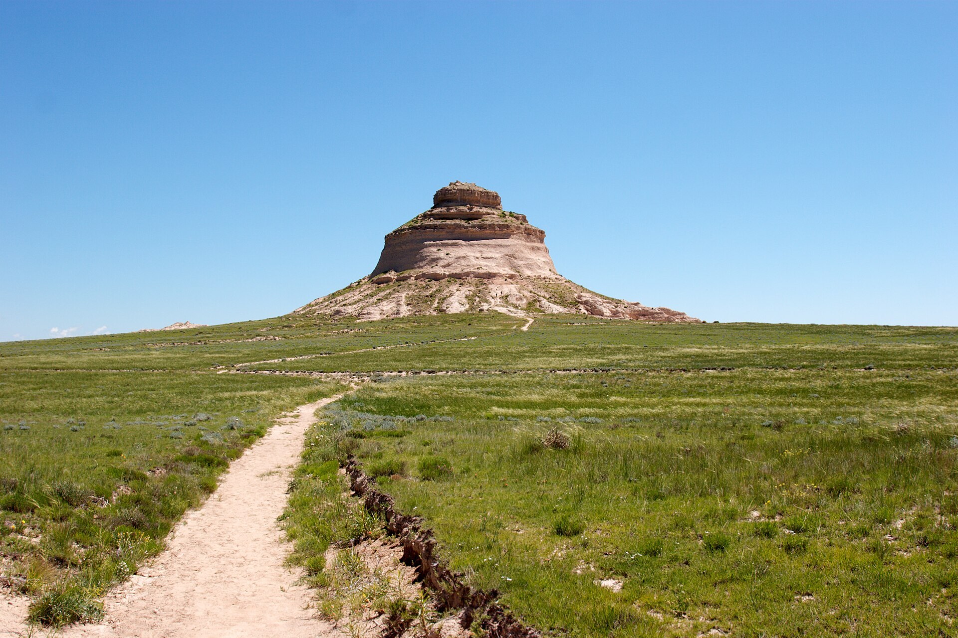
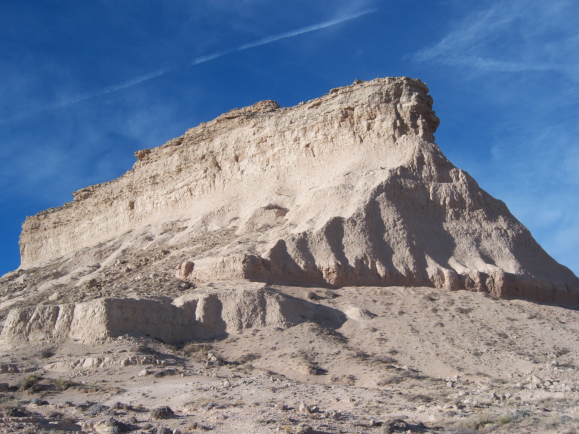
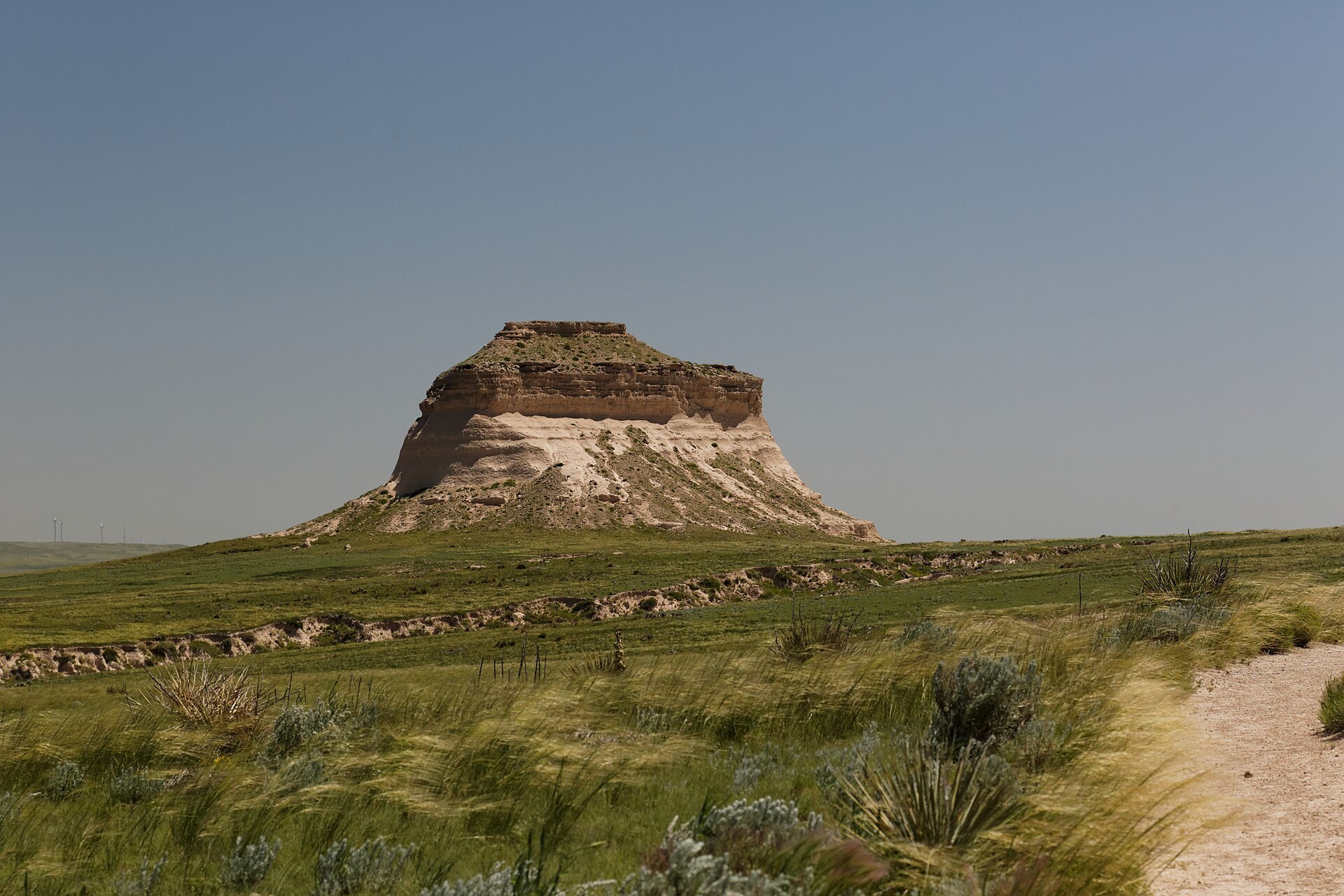
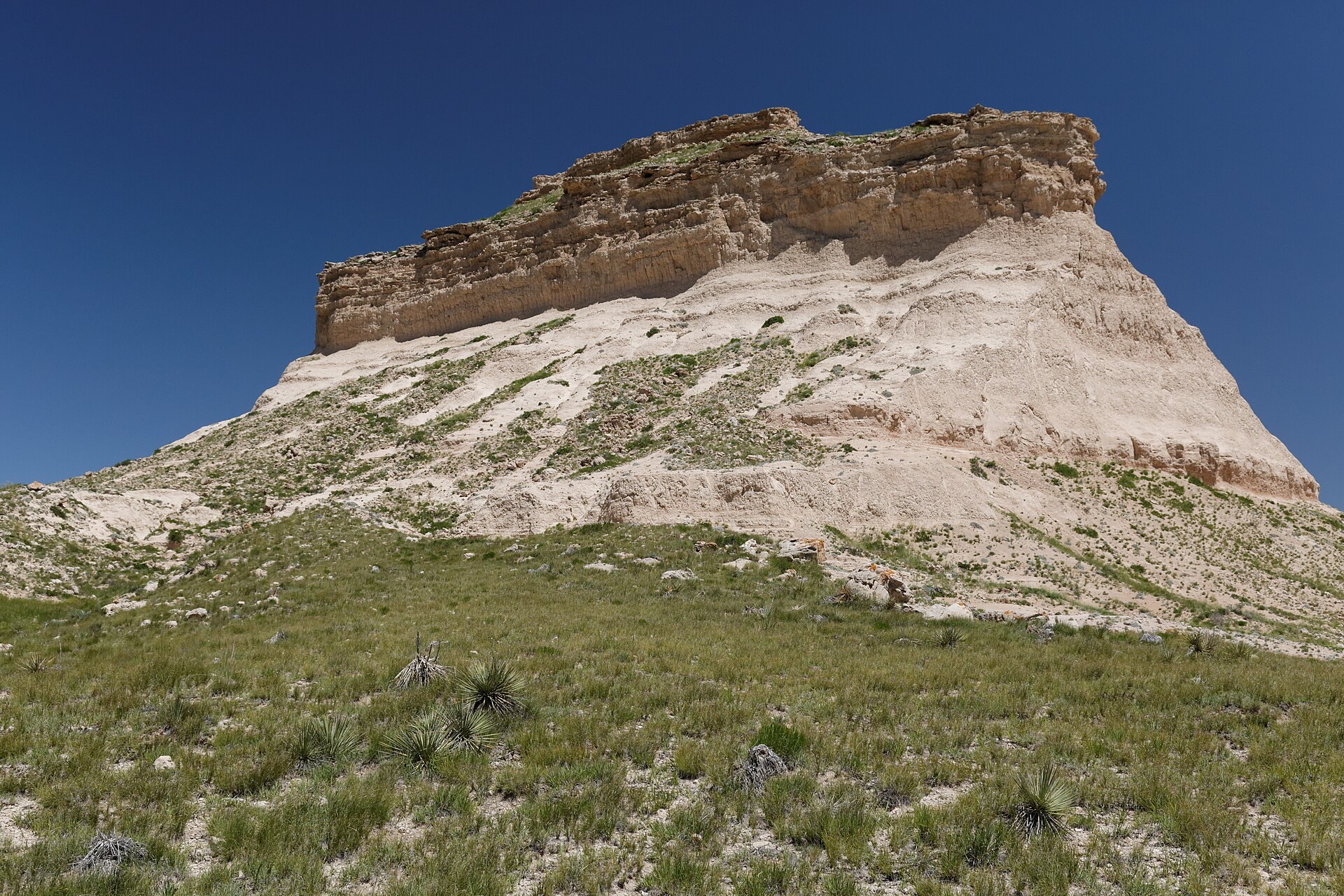
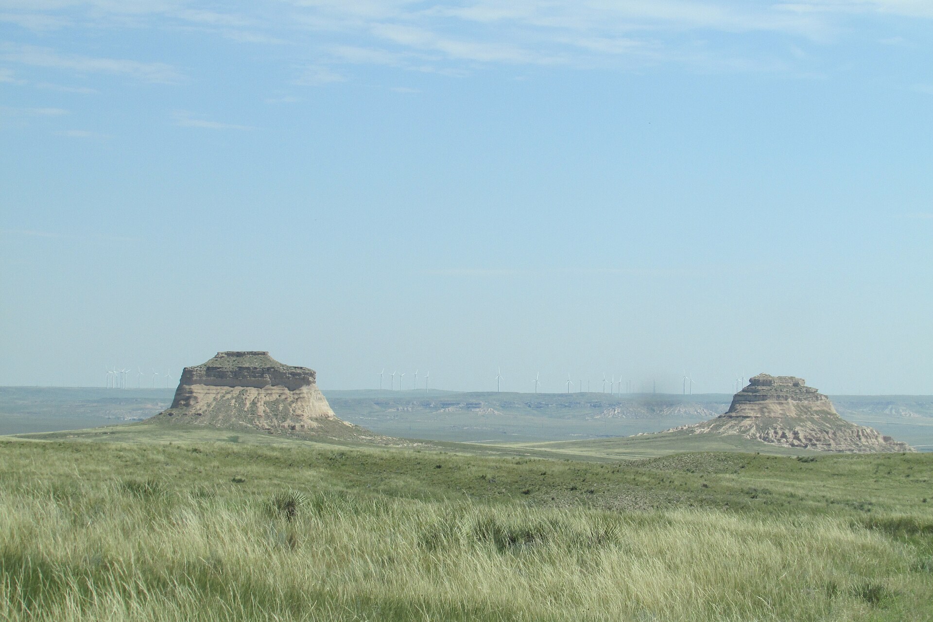
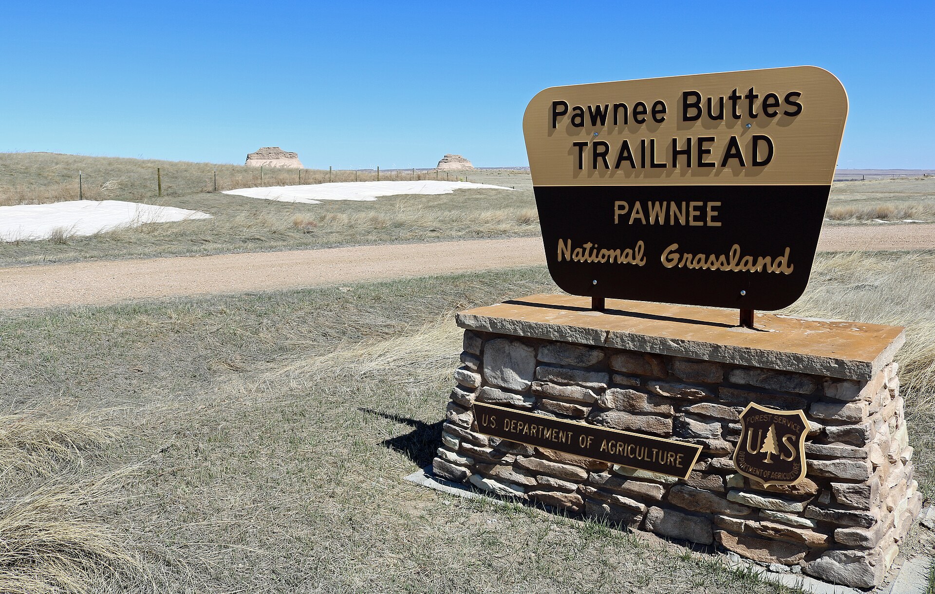
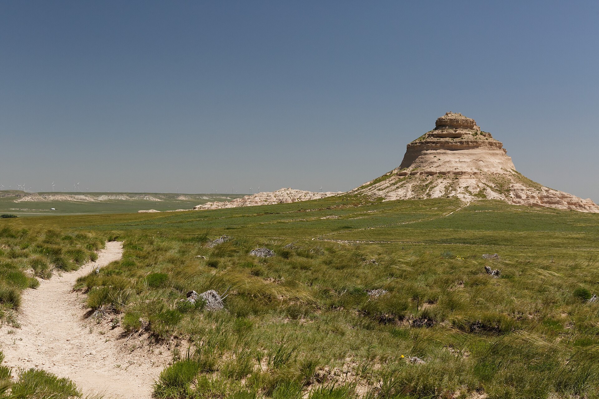
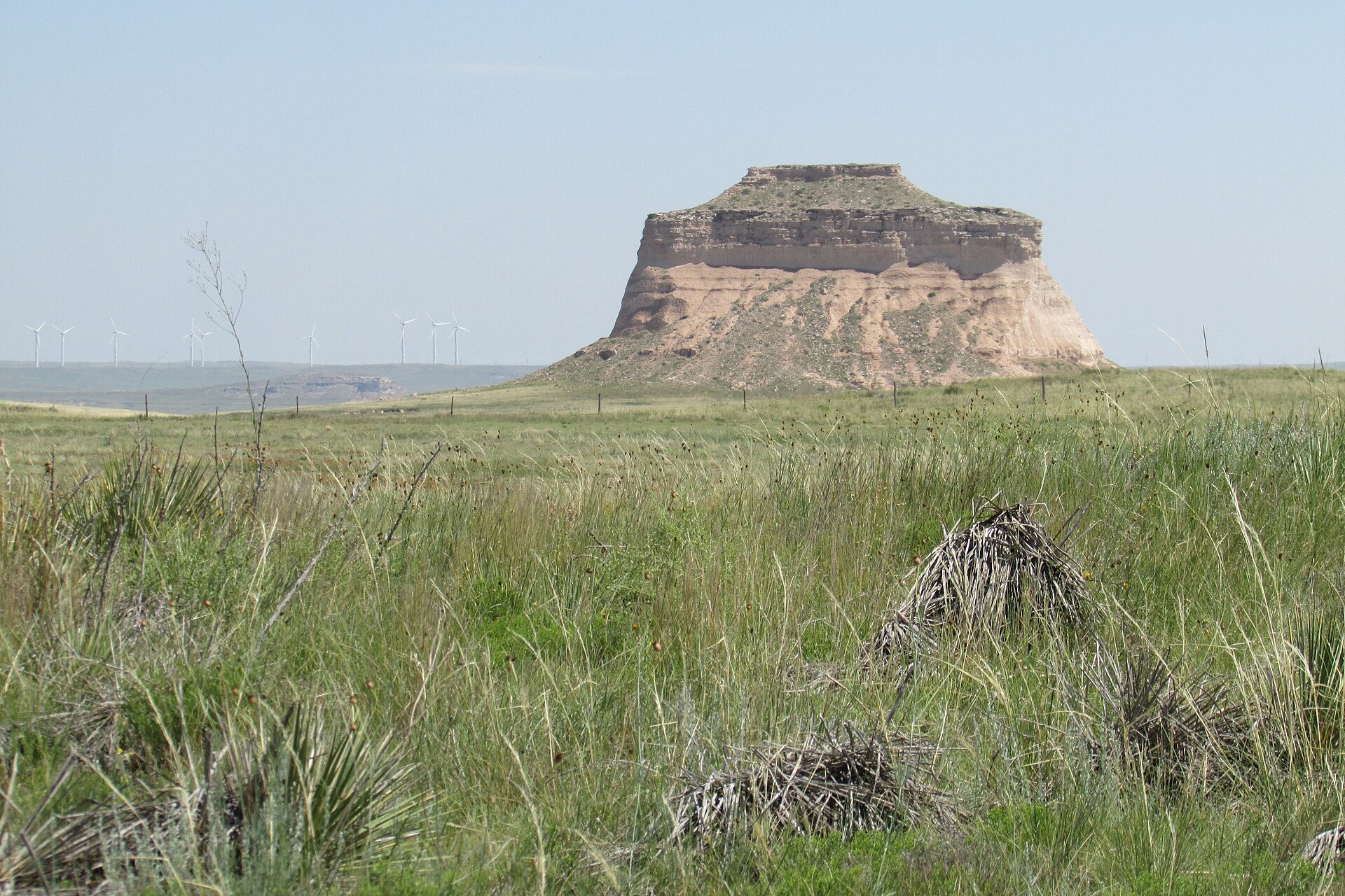
Photo credits: West Butte (front) and East Butte (rear) (3652118223) by KimonBerlin (CC BY-SA 2.0); East Butte (3652280557) by KimonBerlin (CC BY-SA 2.0); Pawnee Butte (West) by Mrjspence (CC BY 3.0); Pawnee Buttes (14254944547) by KimonBerlin (CC BY-SA 2.0); Pawnee Buttes (14461561363) by KimonBerlin (CC BY-SA 2.0); Pawnee Buttes 2016-07-12 364 by Chris Light (CC BY-SA 4.0); Pawnee Buttes Trailhead sign by Jeffrey Beall (CC BY 3.0); Pawnee Buttes (14254954897) by KimonBerlin (CC BY-SA 2.0); West Butte 2016-07-12 373 by Chris Light (CC BY-SA 4.0). Images via Wikimedia Commons.
News & Events
The Forest Service closes the Overlook, the Lips Bluff Trail and the area within 200 yards of the bottom of Lips Bluff from March 1 to June 30 each year to protect nesting raptors, but the main Pawnee Buttes Trail stays open. Rain and snow can make the gravel roads to the trailhead difficult, so check the Pawnee Buttes Trailhead page for alerts before you head out.
Frequently Asked Questions
What is there to do at the Pawnee Buttes?
- Hiking: Walk the 2-mile Pawnee Buttes Trail across the prairie to the West Butte.
- Birding: Watch for hawks, eagles, falcons and grassland songbirds.
- Photography: Shoot the buttes at sunrise or sunset under huge skies.
- Horseback riding: Bring your horse; there’s trailer parking at the trailhead.
- Picnicking: Use the picnic tables at the trailhead overlook.
What is nearby the Pawnee Buttes?
- Horsetooth Reservoir: Boating and hiking in the foothills west of Fort Collins.
- New Belgium Brewing: Tours and tastings at the Fort Collins brewery.
- Odell Brewing Company: Another favorite Fort Collins taproom.
- Pawnee National Grassland: More than 190,000 acres of prairie for birding and scenic drives.
How much does it cost to visit the Pawnee Buttes?
Visiting the Pawnee Buttes is free. The Forest Service charges no fees at the trailhead.
When are the Pawnee Buttes open?
The trailhead and trail are open year-round with no set hours. The Overlook and Lips Bluff Trail are closed March 1 to June 30 for nesting birds.
Are there any tips for visiting the Pawnee Buttes?
Bring plenty of water, a hat and sunscreen, because there’s no drinking water or shade and summer temperatures can top 100 degrees. Fill your gas tank before you leave Ault or Sterling, since services are far apart. The last miles are on gravel county roads that turn slick after storms. Stay on the trail, keep dogs leashed and give nesting birds plenty of space.
The Pawnee Buttes Trailhead is on County Road 113 near Grover, CO 80729. Call 970-295-6600 or visit fs.usda.gov to plan your visit.