
Kebler Pass
Kebler Pass carries a 30-mile gravel road west from Crested Butte over a 10,007-foot saddle and through one of the largest aspen groves in the world, a drive that turns into a tunnel of gold every fall.
Kebler Pass near Crested Butte, CO
Gunnison County Road 12 leaves the west end of Crested Butte paved, then turns to well-graded dirt as it climbs through spruce and aspen toward the summit, roughly 15 miles out. Beyond the top, the views open west toward the West Elk Mountains before the road descends past aspen-covered ridges to Colorado 133 near Paonia Reservoir, about 30 miles in all. The grove along the road is often described as a single living organism, thousands of white trunks joined by one underground root system, which is why whole hillsides change color at once.
Peak color usually lands in the last week of September and the first days of October, when the drive can get busy with photographers, so mornings are best for soft light and fewer cars. Summer brings wildflowers, hiking, dispersed camping and wildlife; moose are sometimes spotted in the wetlands west of the pass. Plan the trip with a stay in Crested Butte, or continue north on Highway 133 over McClure Pass to the marble-quarry towns of Marble and Redstone.
Insider tip: This is a seasonal shortcut, not a year-round highway. The road closes to cars once snow arrives and typically reopens around late May. Gunnison Crested Butte tourism asks visitors to stay on designated roads and pull-outs and not to drive or hike off-trail into the groves. Note that the Lake Irwin area off the road is closed for upgrades until summer 2028.
Photo Gallery
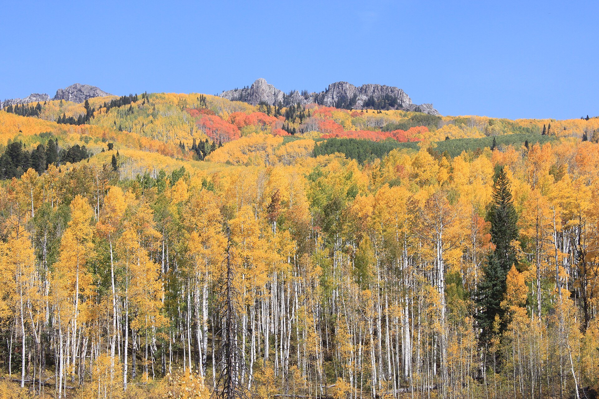
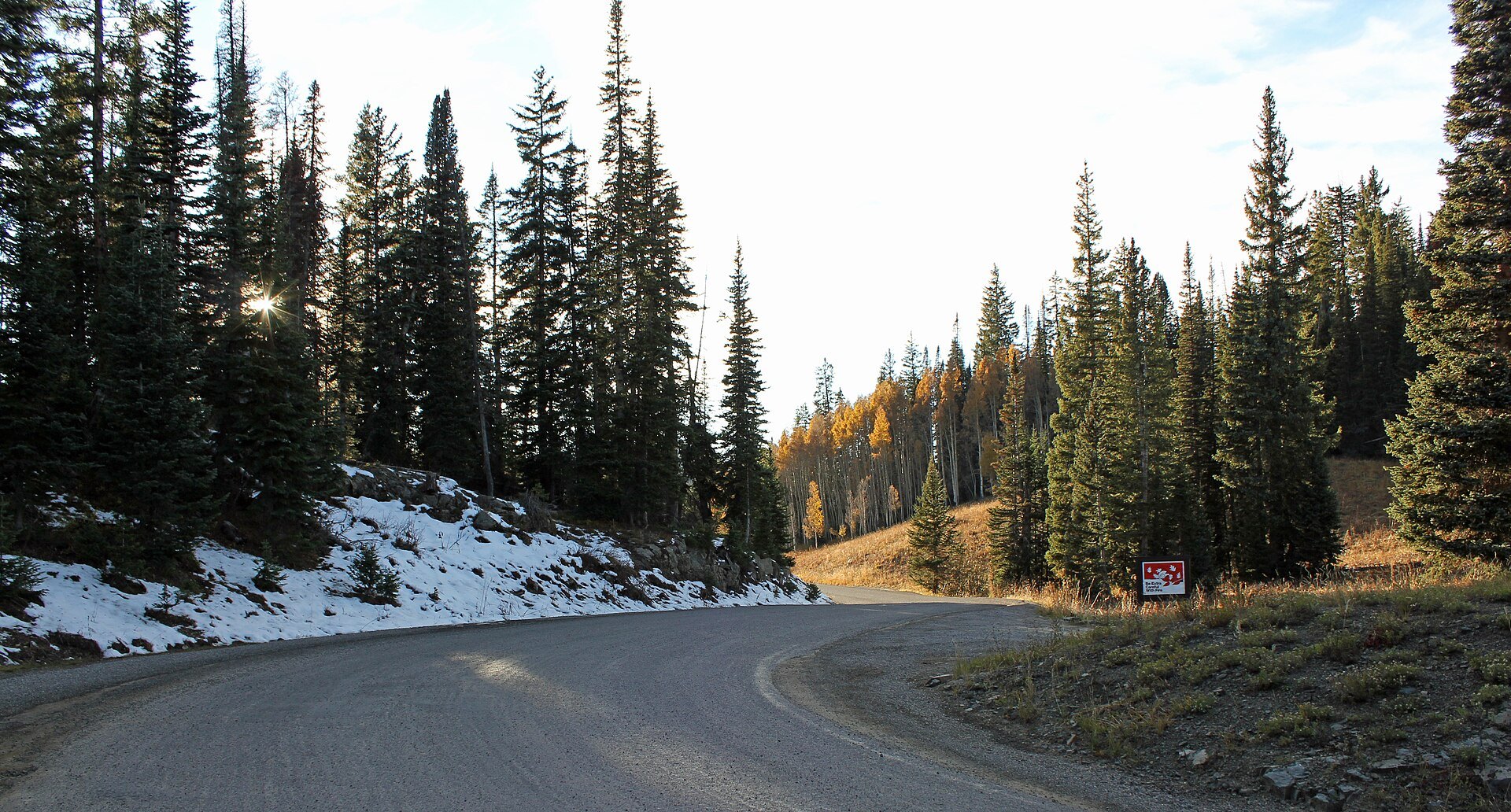
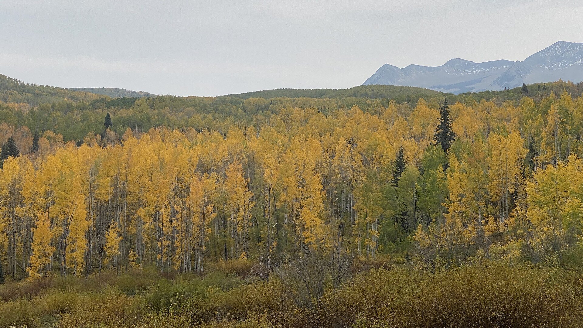
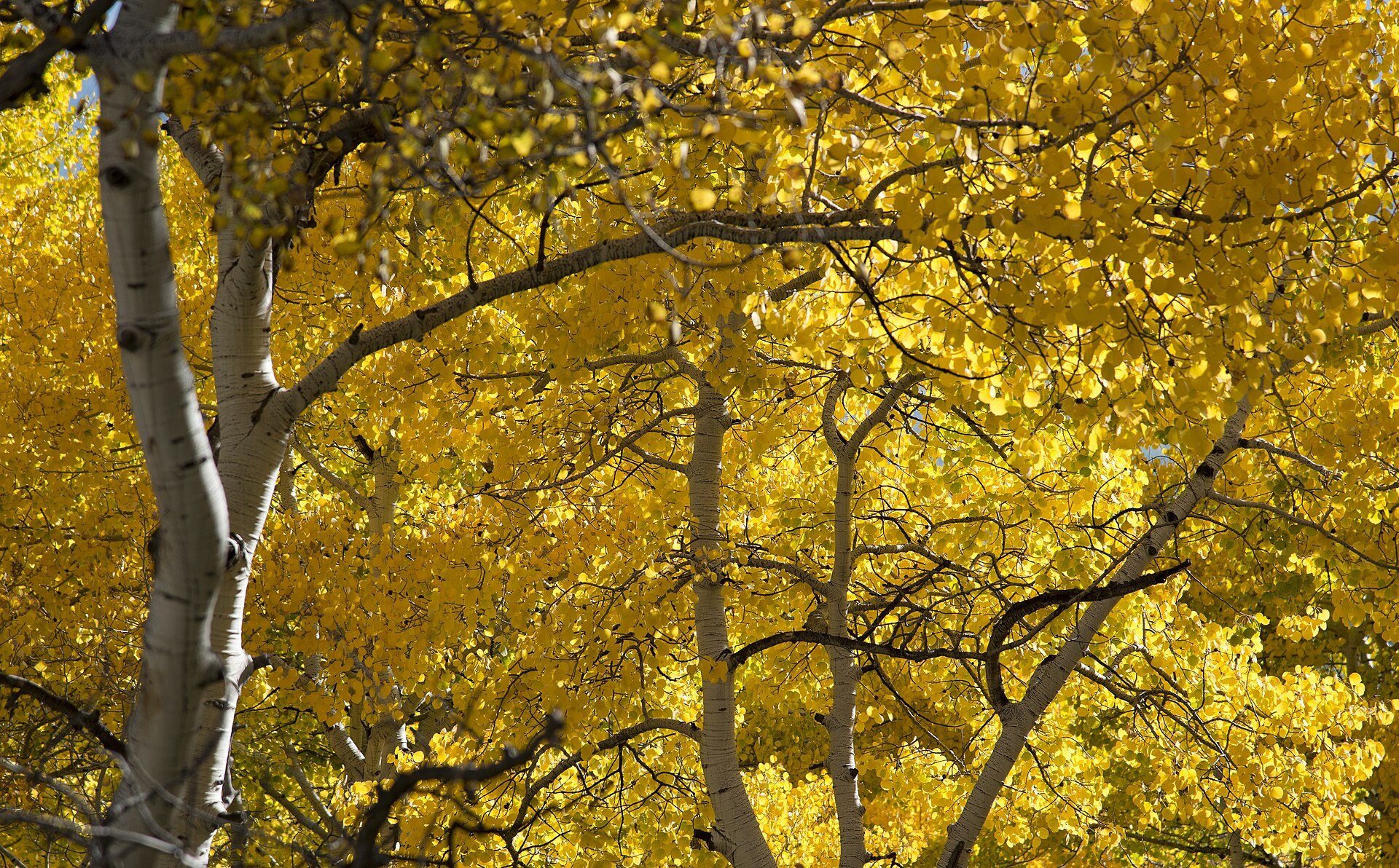
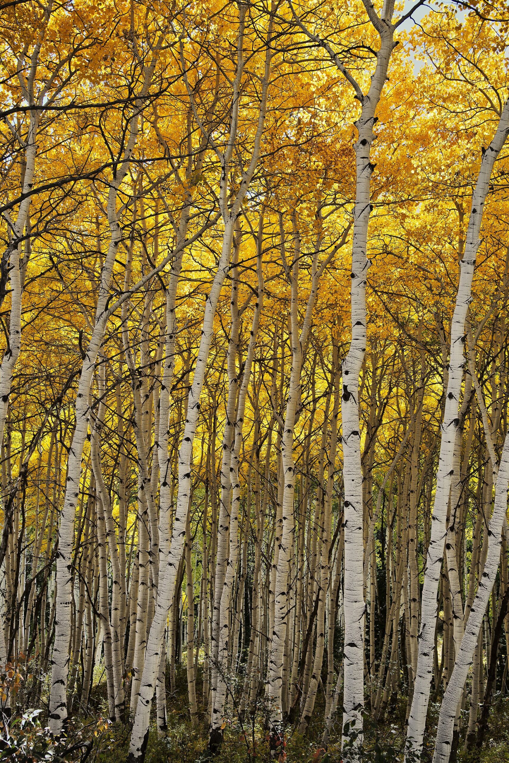
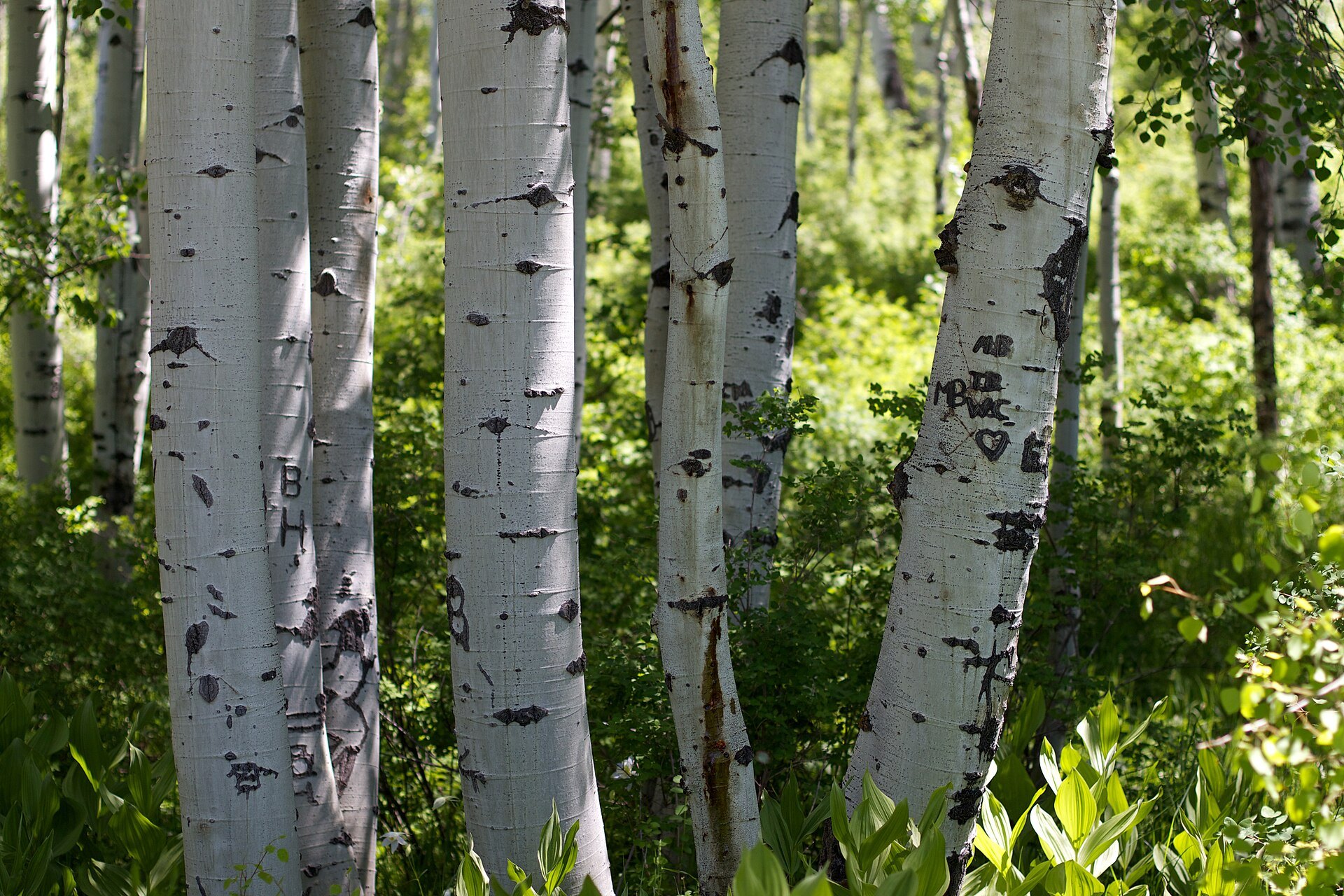
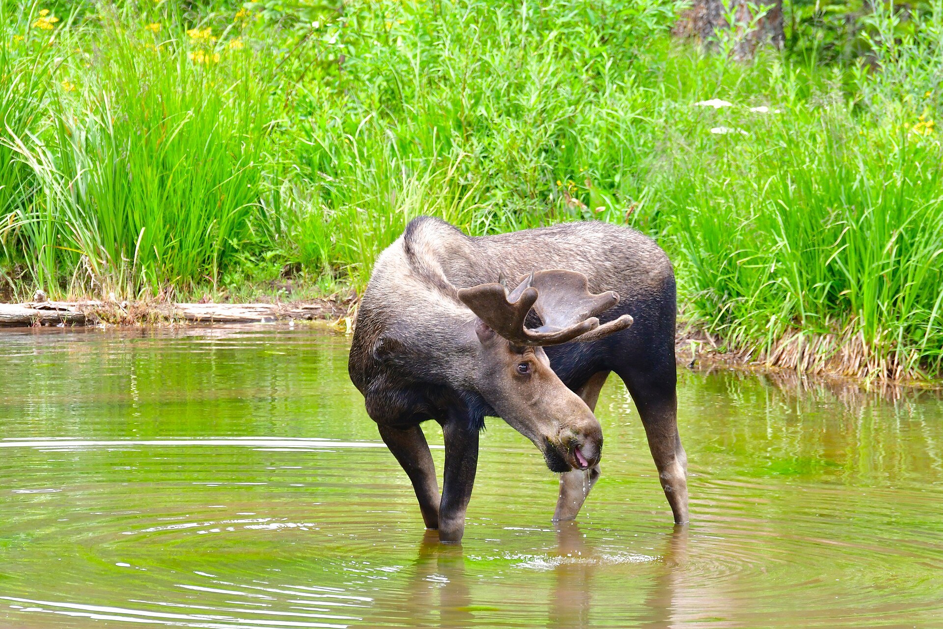
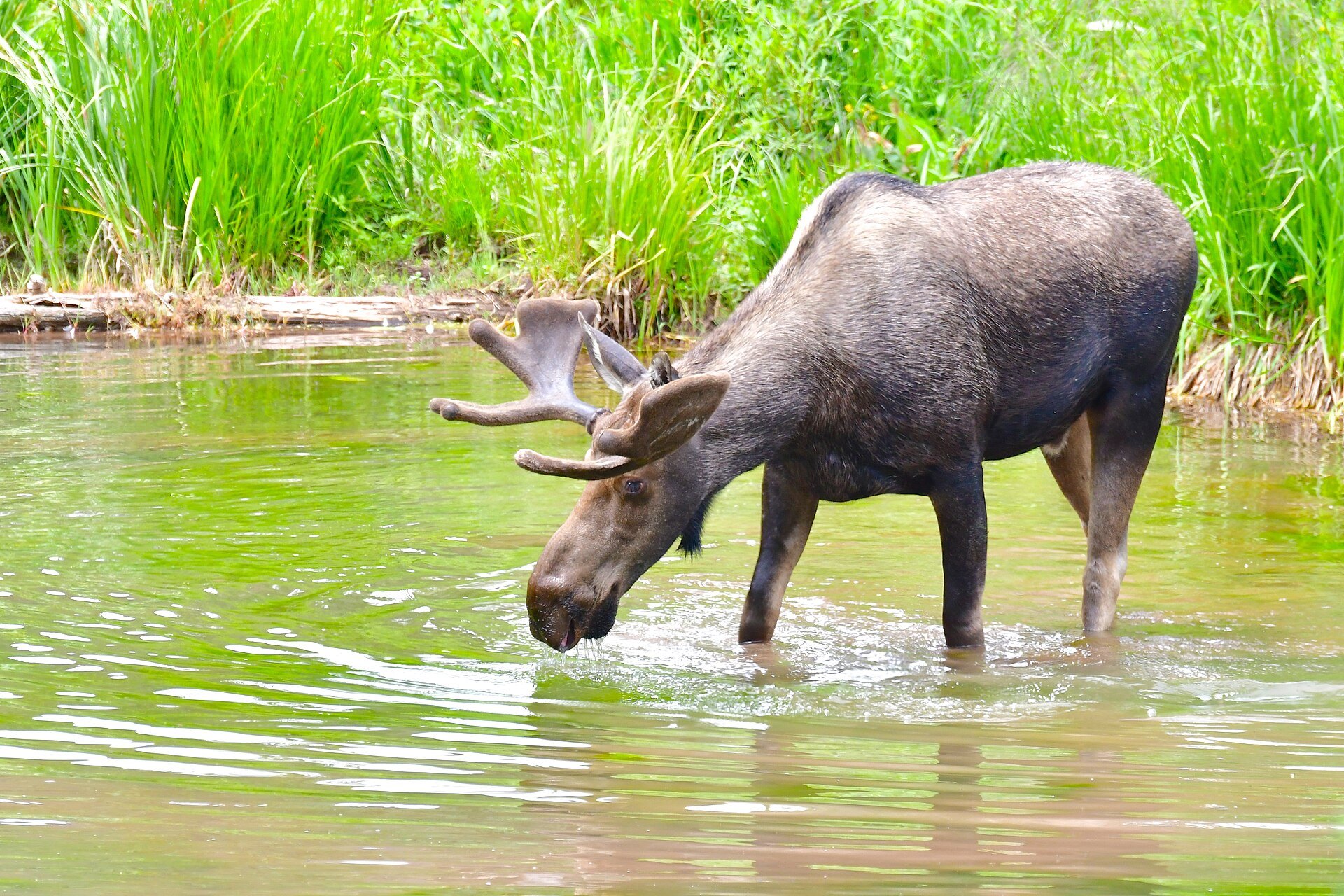
Photo credits: Fall Colors at Kebler Pass, Colorado USA by Aakash sahai (CC BY-SA 3.0); Kebler Pass by Jeffrey Beall (CC BY-SA 3.0); Aspen trees, Somerset County, Colorado by JPGoldberg (CC BY-SA 4.0); American Aspen, near Kebler Pass, Colorado (8056485277) by John Fowler (CC BY 2.0); Fall Colors (8043388448) by John Fowler (CC BY 2.0); Yep, That Kind of Forest (5875452823) by cogdogblog (CC BY 2.0); Bull Moose (35096974333) by Larry Lamsa (CC BY 2.0); Bull Moose (35906140015) by Larry Lamsa (CC BY 2.0). Images via Wikimedia Commons.
News & Events
The seasonal closure of Gunnison County Road 12 over Kebler Pass, between CO 133 and Crested Butte, went into effect on November 9, 2026, according to CDOT’s COtrip.org. In 2026 the pass reopened on May 21, so plan on a similar late-May opening next year, weather permitting.
Frequently Asked Questions
How high is Kebler Pass?
Kebler Pass tops out at 10,007 feet in the West Elk Mountains of Gunnison County.
Is Kebler Pass open now?
No. Kebler Pass closed for the winter on November 9, 2026. It usually reopens in late May, depending on snow, and it is passable for standard vehicles in summer and fall.
When is the best time to see the aspens on Kebler Pass?
Peak fall color typically runs from the last week of September into the first few days of October. Higher groves turn first, and a windstorm can strip leaves quickly.
How long is the Kebler Pass drive?
About 30 miles between Crested Butte and Colorado 133 near Paonia Reservoir. Allow 1.5 to 2 hours one way, longer with photo stops.
What is near Kebler Pass?
Crested Butte sits at the east end of the pass, and Marble and Redstone lie north along Highway 133.
Find Kebler Pass on Gunnison County Road 12 west of Crested Butte, CO 81224. For forest information call the Gunnison Ranger District at (970) 641-0471, and see gunnisoncrestedbutte.com for trip planning.