
Alpine Loop Back Country Byway
The Alpine Loop Back Country Byway is Colorado’s ultimate summer 4×4 adventure. For 63 rugged miles it climbs through the heart of the San Juan Mountains, crossing Engineer Pass at 12,800 feet and Cinnamon Pass at about 12,600 feet to link the old mining towns of Lake City, Ouray and Silverton, with ghost towns, mills and wildflower basins around nearly every bend.
Alpine Loop Back Country Byway in Lake City, CO
The Bureau of Land Management designated the Alpine Loop a Back Country Byway in 1989, and it is also a Colorado State Scenic Byway. This is no paved scenic drive: it is a network of old high-elevation mining roads that requires a high-clearance four-wheel-drive vehicle, and CDOT figures four to six hours to drive the full loop. Long before the mining boom this high country was Ute homeland. The 1873 Brunot Agreement ceded much of it to the federal government, but the Ute bands kept hunting and fishing rights that are still honored today.
The hard-rock mining era left relics everywhere: mills, mine structures and ghost towns, from the Old Hundred Gold Mine bunkhouse clinging to Galena Mountain to the mines of Silver Lake Basin and the Ute-Ulay mine and mill near Lake City, listed on the National Register of Historic Places in 2017. About a mile east of Cinnamon Pass, American Basin bursts into one of Colorado’s most photographed wildflower displays each July, with columbines, paintbrush and larkspur. Keep an eye out for pika, ptarmigan and cutthroat trout too. The BLM’s list of wildlife along the route even includes lynx and wolverine.
From Lake City you enter on County Road 20 or County Road 30; from Silverton on County Road 2; and from Ouray on County Road 18. Lake City’s visitor center recommends driving clockwise from Lake City, because the narrow, exposed switchbacks between Animas Forks and the Engineer Pass summit are the most technical stretch and are easier to climb than descend. Insider tip: cell phones and GPS devices do not work in most places, so download or print maps, carry extra food, water and fuel, and tell someone your plans. Pair the drive with a stop at Animas Forks Ghost Town and a night in Lake City.
Photo Gallery
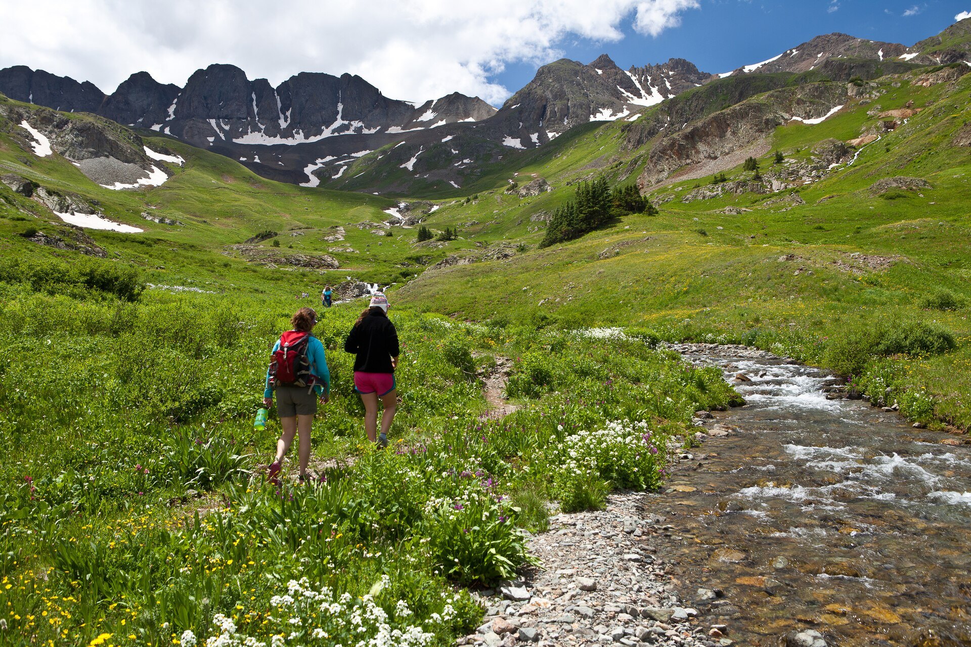
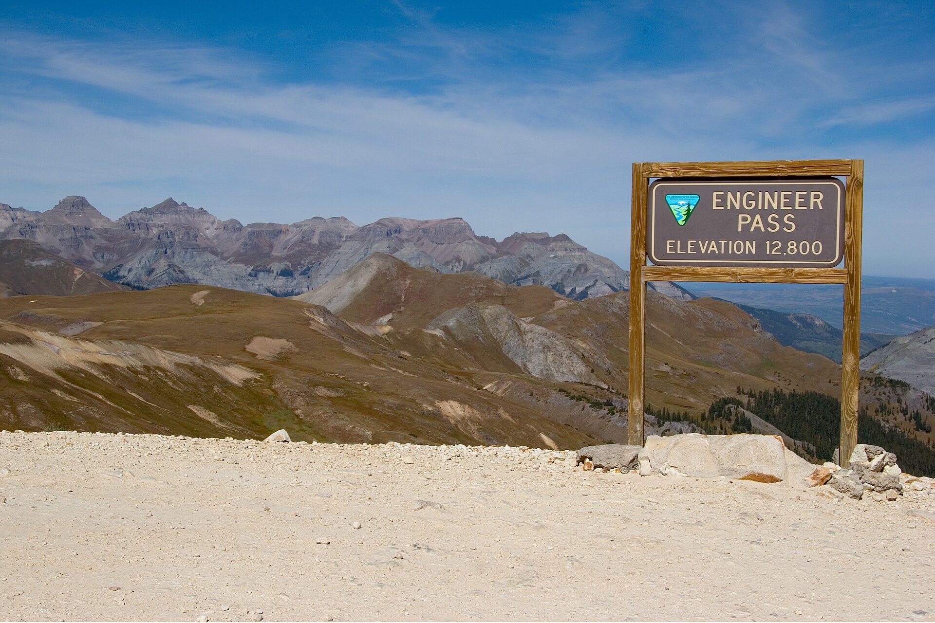
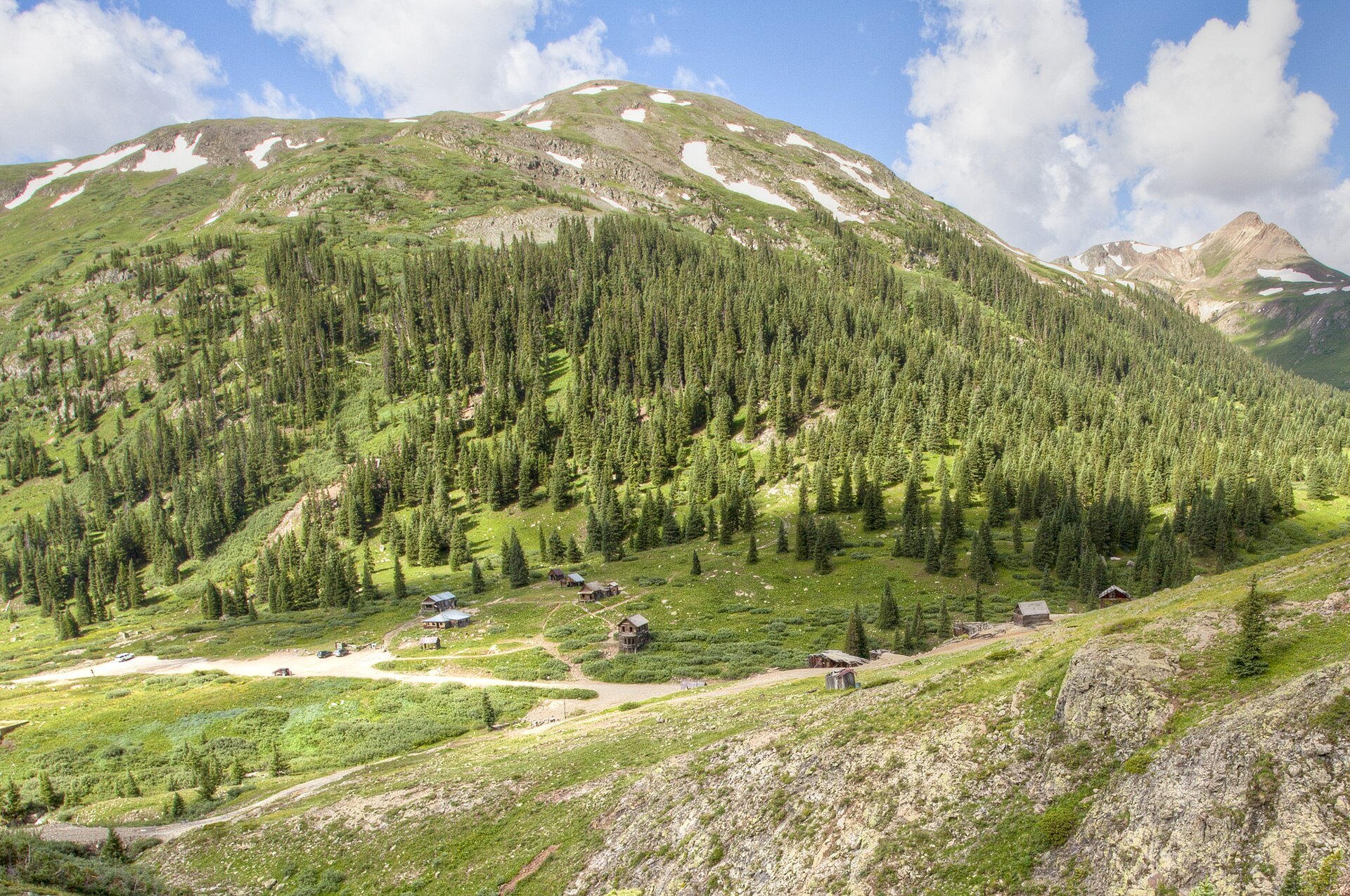
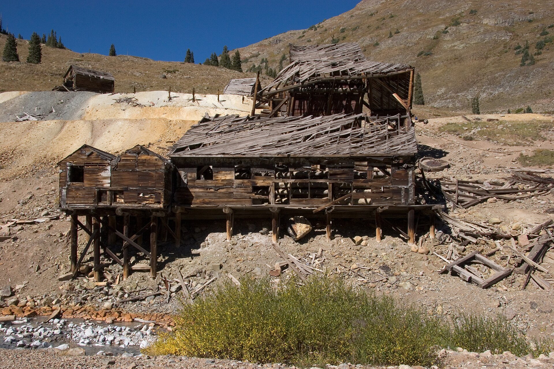
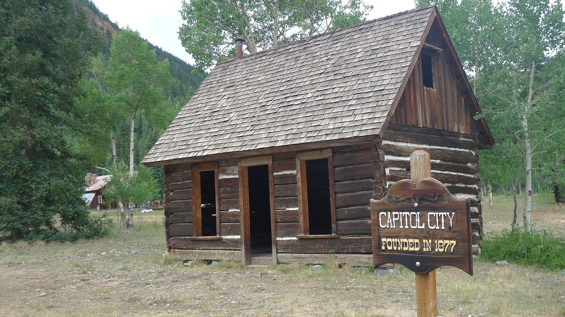
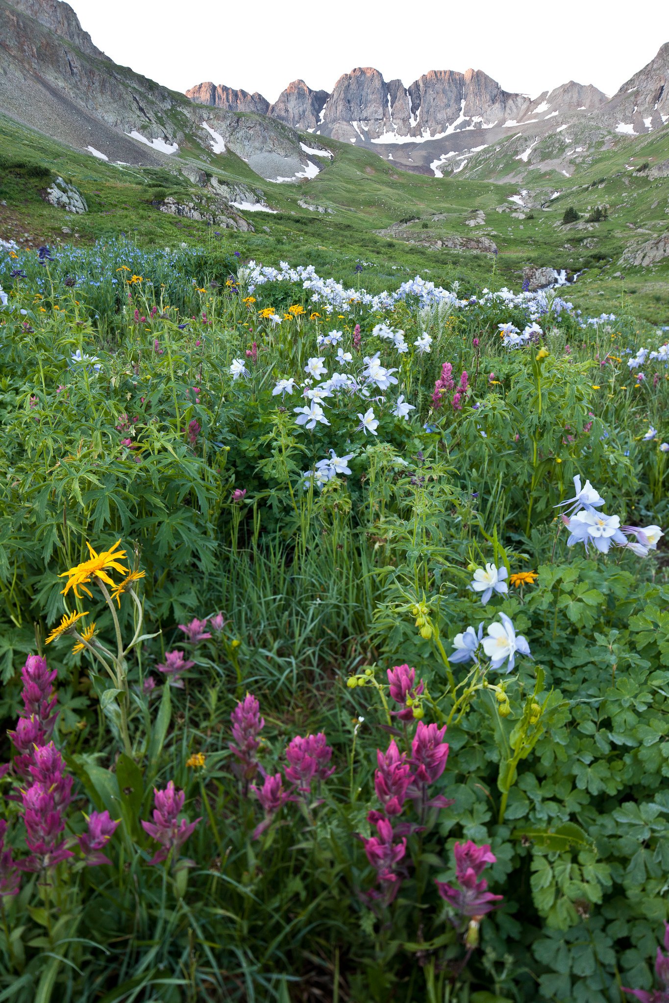
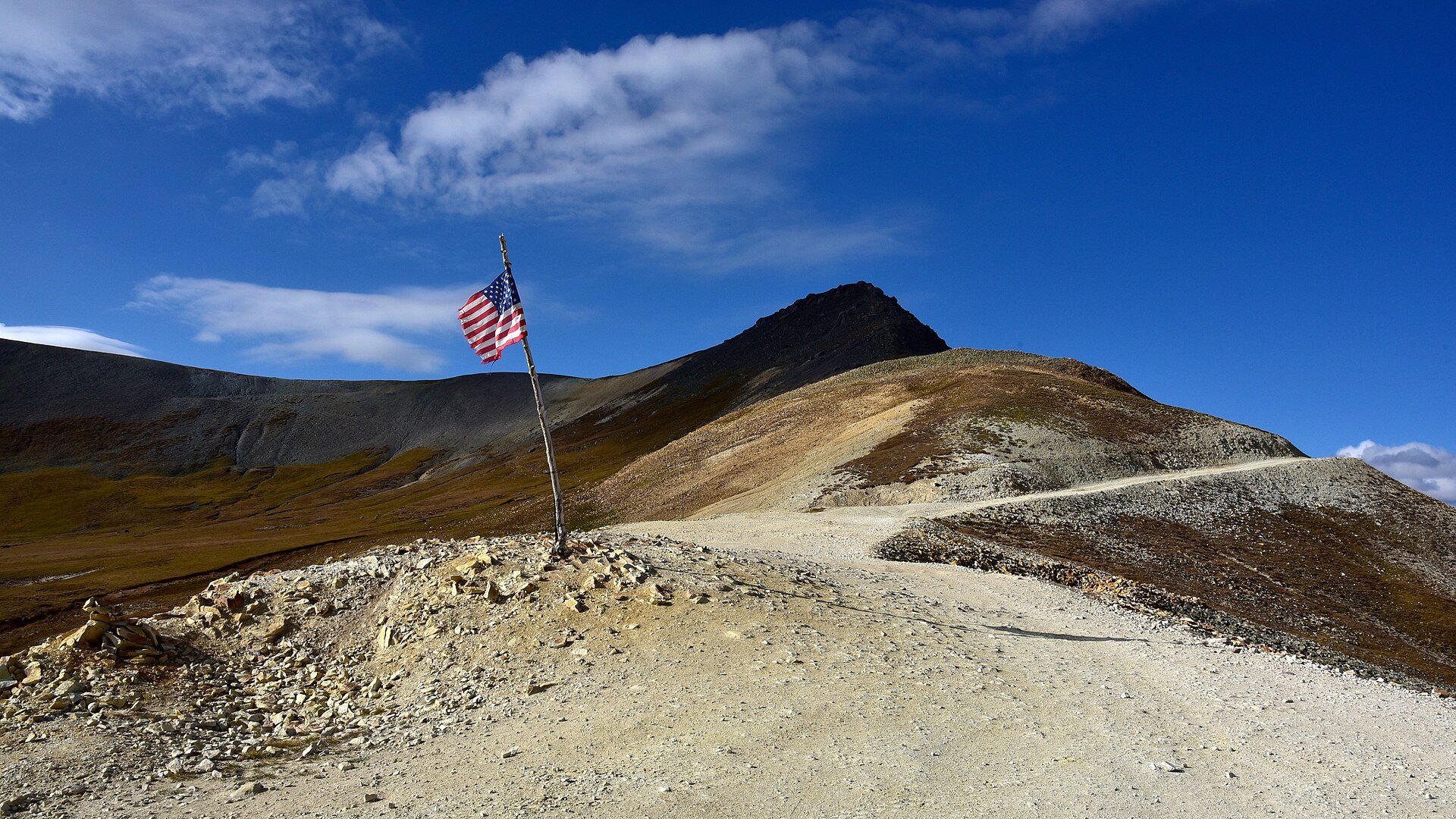
Photo credits: -TravelTuesday with My Public Lands (24320354915) by Bob Wick, Bureau of Land Management (Public domain); -TravelTuesday with My Public Lands (23692142924) by Bob Wick, Bureau of Land Management (Public domain); Alpine Loop 2005-09-18 (162829205) by KimonBerlin (CC BY-SA 2.0); -TravelTuesday with My Public Lands (23692139864) by Bob Wick, Bureau of Land Management (Public domain); Alpine Loop 2005-09-18 (162848301) by KimonBerlin (CC BY-SA 2.0); Alpine Loop 2005-09-18 (162840335) by KimonBerlin (CC BY-SA 2.0); Capitol City, Colo [Capitol City ghost town on the Alpine Loop] by robert thigpen (CC BY-SA 2.0); -TravelTuesday with My Public Lands (24294185156) by Bob Wick, Bureau of Land Management (Public domain); Engineer Mountain, Pass [Engineer Pass summit] by Larry Lamsa (CC BY 2.0). Images via Wikimedia Commons.
News & Events
The Alpine Loop is closed for winter: Engineer and Cinnamon passes officially closed for the season on Oct. 29, 2026 because of deep snow, and anyone on County Roads 20 or 30 is asked to turn around at snow on the road. The BLM lists June through August as the best season. Plan ahead for summer 2027: in Hinsdale County, OHVs may run on county roads from 6 a.m. to 11 p.m. only from June 1 to Sept. 30. Status updates: alpineloop.info.
Frequently Asked Questions
How long is the Alpine Loop in Colorado?
The Alpine Loop Back Country Byway is 63 miles long, according to the BLM. CDOT estimates four to six hours of driving, and many visitors make it a full day or add side routes over several days.
Do you need a 4x4 for the Alpine Loop?
Yes. Crossing both Engineer Pass and Cinnamon Pass requires a high-clearance four-wheel-drive vehicle. Lake City notes that stock SUVs with low-range gearing can do it, while Jeeps and side-by-sides handle it comfortably.
When is the Alpine Loop open?
The loop is a seasonal route and is closed in winter. The BLM lists June through August as the best season. For 2026 the passes closed on Oct. 29 because of snow; check alpineloop.info before you go.
How high is Engineer Pass?
Engineer Pass tops out at 12,800 feet, the highest point on the Alpine Loop. Cinnamon Pass is about 12,600 feet.
What is near the Alpine Loop?
The loop links Lake City, Ouray and Silverton, passes Animas Forks and starts near Lake San Cristobal. The Million Dollar Highway connects Ouray and Silverton on pavement.
Alpine Loop Back Country Byway, entered from Lake City on County Roads 20 and 30, Lake City, CO 81235. BLM Gunnison Field Office: (970) 642-4940 or visit blm.gov. Lake City Visitor Center: (970) 944-2527.