Boreas Pass
Boreas Pass follows an old narrow-gauge railroad grade from Breckenridge up to the Continental Divide at 11,481 feet, a gentle gravel climb lined with aspens, historic railroad buildings and big views of the Tenmile Range.
Boreas Pass Road from Breckenridge, CO
Boreas Pass Road (Summit County Road 10) leaves the south end of Breckenridge and climbs at an easy, steady 3% grade, because it was built for trains. From 1872 to 1938 this route carried the Denver, South Park and Pacific narrow-gauge line between Como and Breckenridge, and the Forest Service notes it was famed as the nation’s highest narrow-gauge railroad. The road passes Baker’s Tank, an old water stop for steam engines, before topping out on the Divide at the line between Summit and Park counties. From there the road drops another 10.4 miles to the tiny railroad town of Como in South Park.
The summit is a time capsule. A restored railroad section house and the tiny log Ken’s Cabin, one of the oldest buildings in the Breckenridge area, sit beside the old station site, and today both are run as winter backcountry huts by the Summit Huts Association. In late September the slopes along the road turn solid gold, which makes this one of the best fall-color drives near Summit County. Pair the trip with a stroll in historic Breckenridge, a day at Breckenridge Ski Resort, or a South Park detour to Fairplay.
Insider tip: The road is open to highway-legal vehicles only, generally late May through October, and it is gravel, narrow and slow, so allow plenty of time. In winter a gate near the Boreas Pass Trailhead (about 3.5 miles up from Breckenridge) closes it to all motorized use, and the road becomes a popular cross-country ski and snowshoe route. Check Summit County road conditions before you go.
Photo Gallery
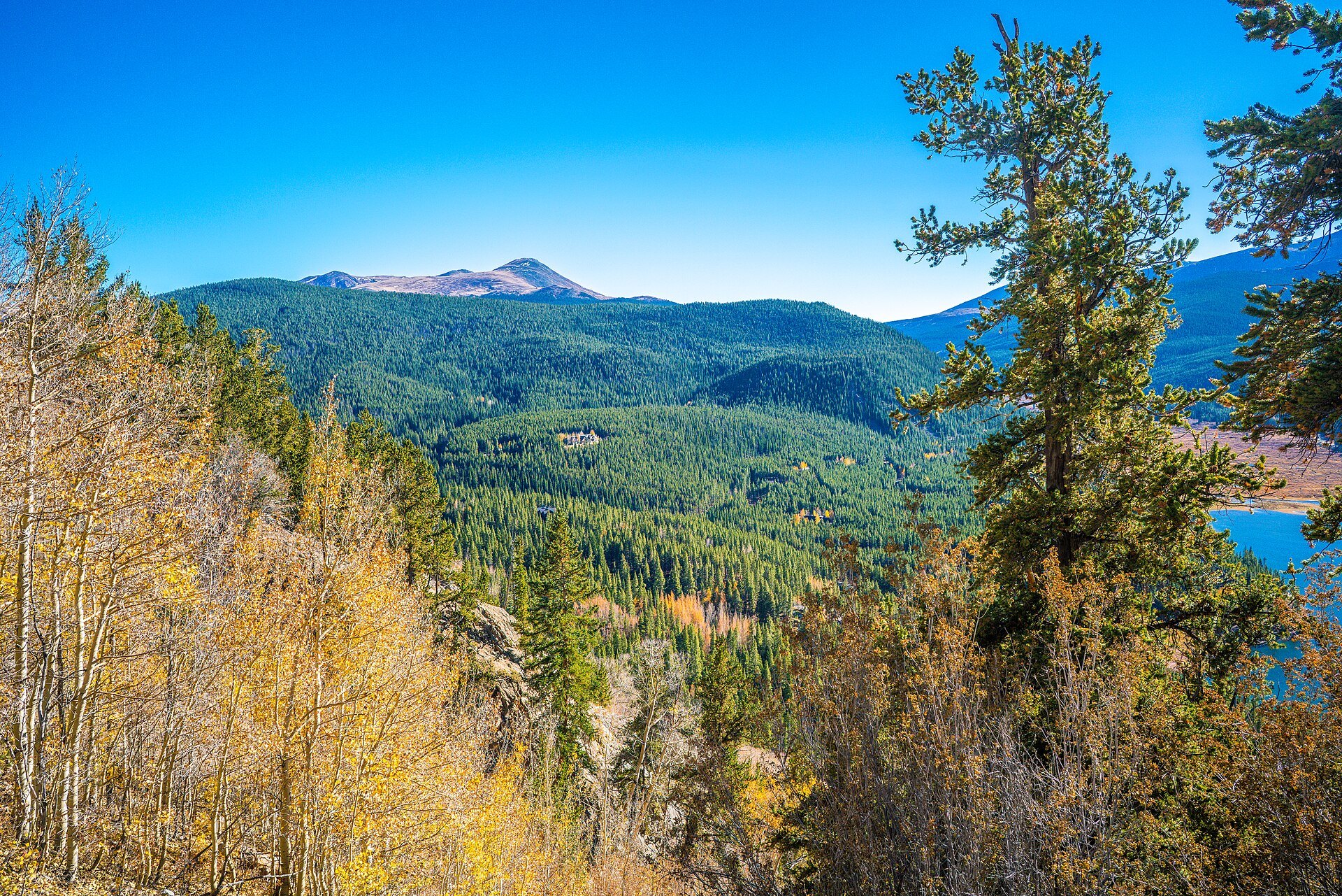
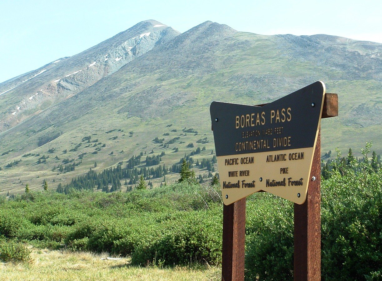
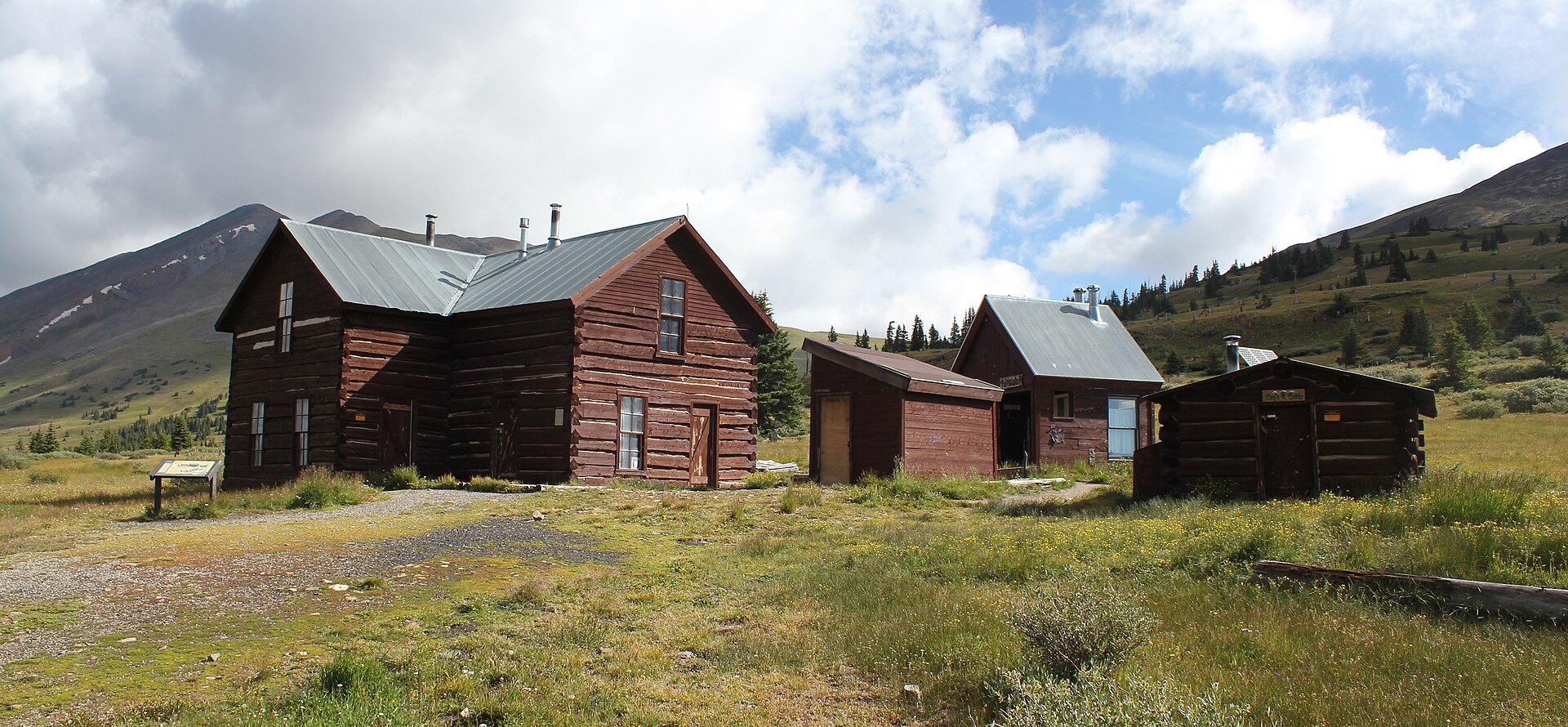
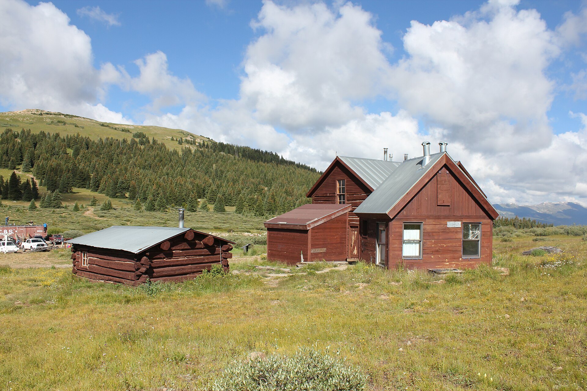
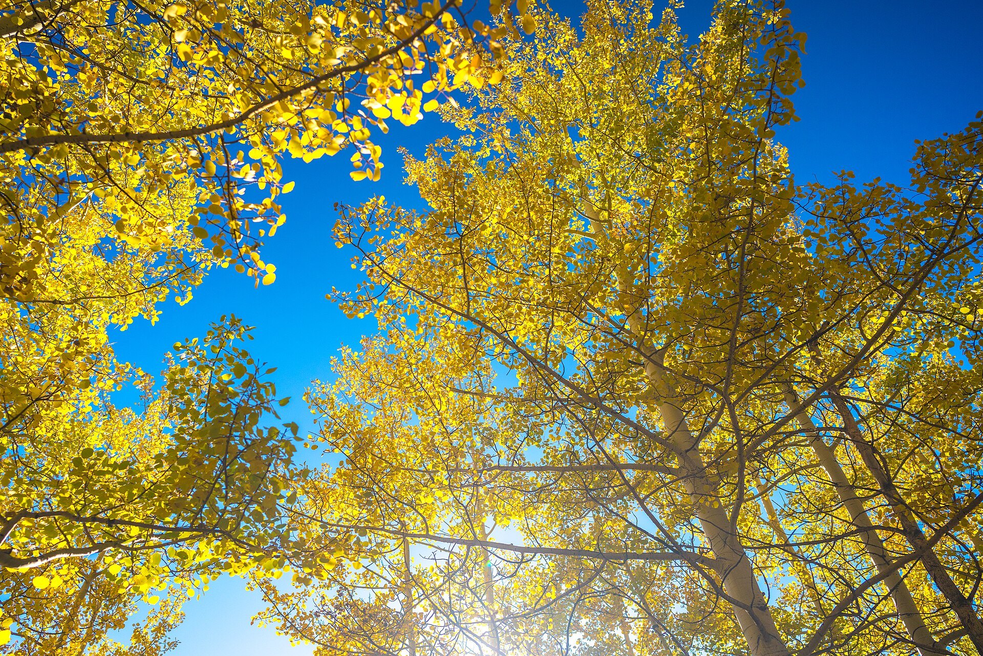
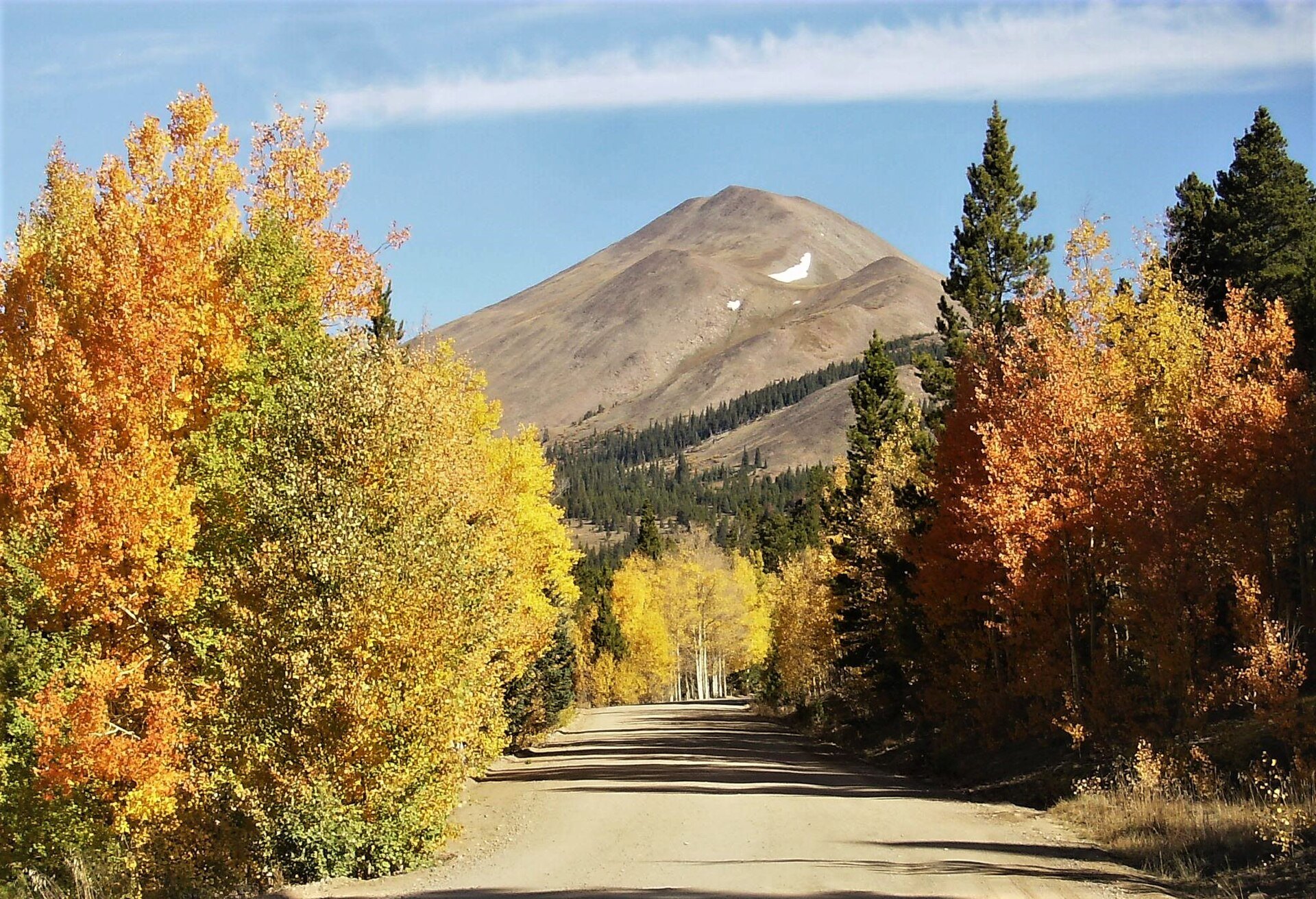
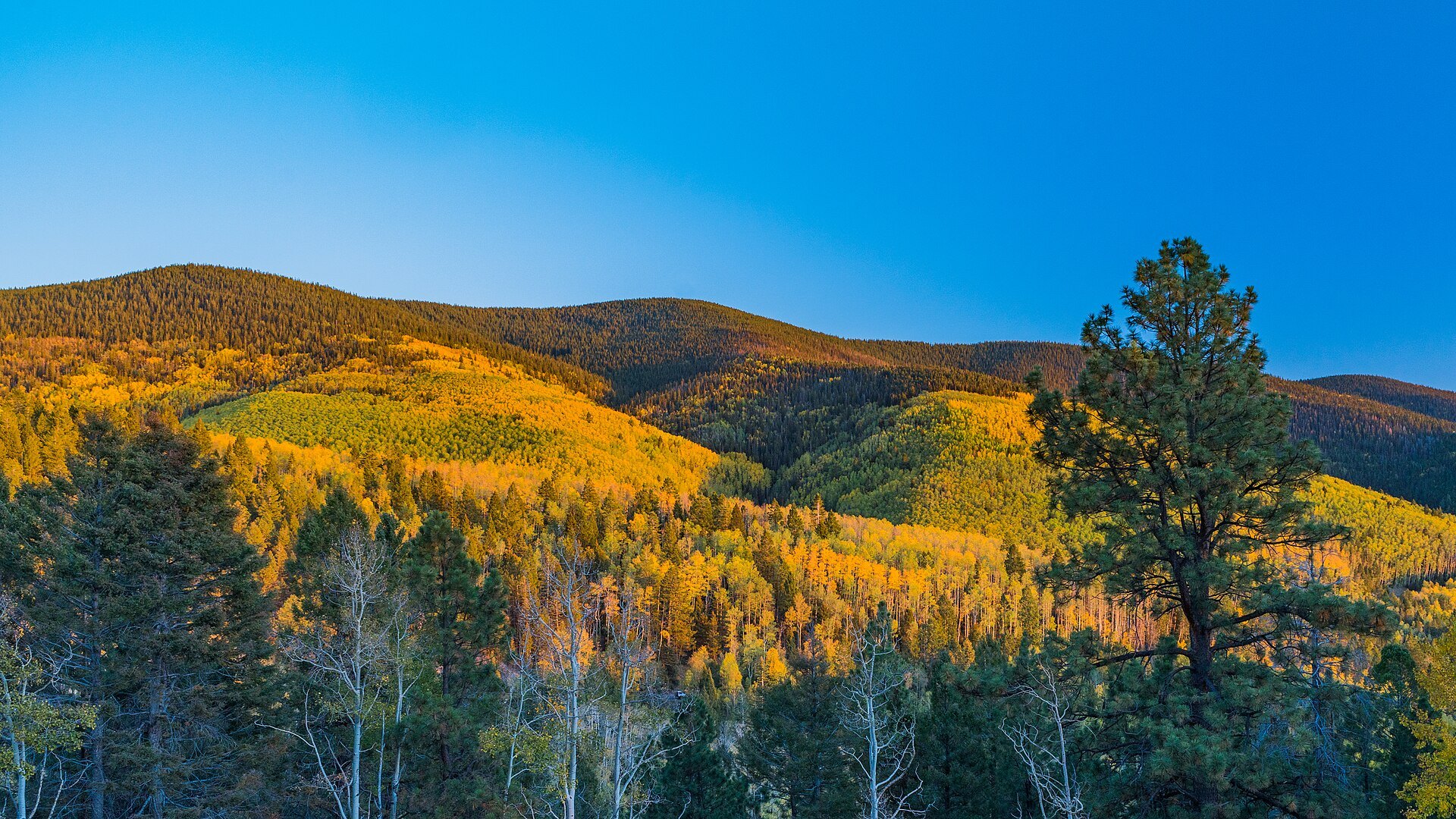
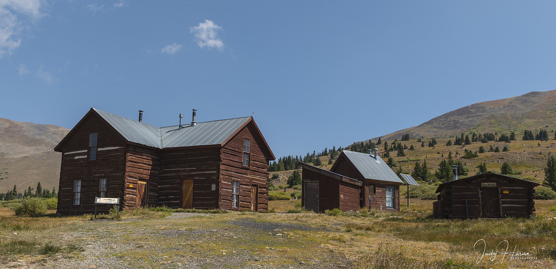
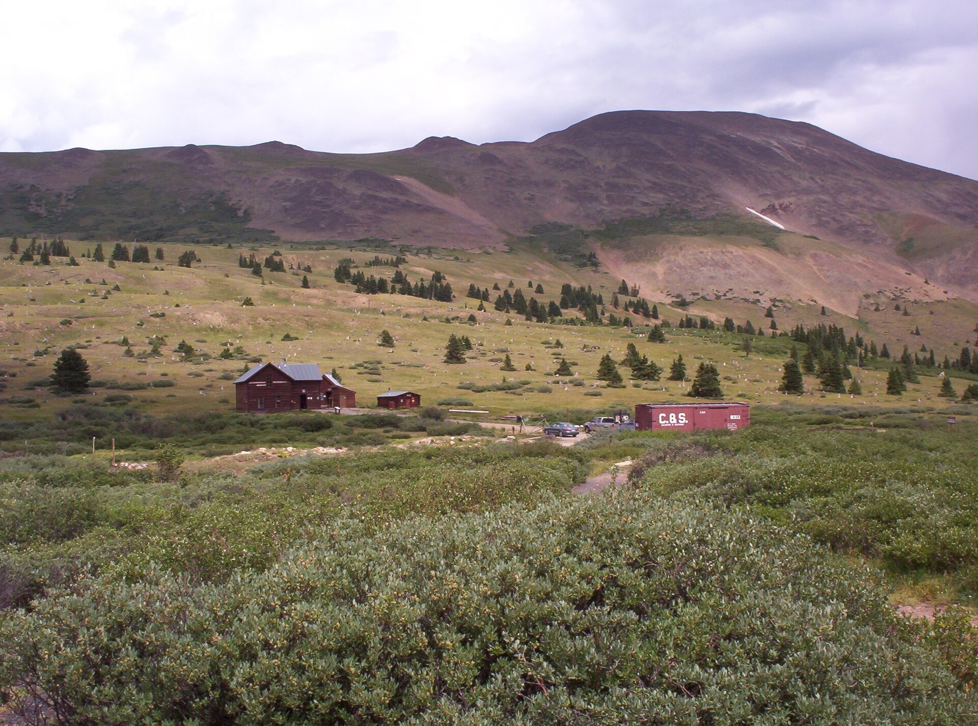
Photo credits: Boreas Pass Mountain View (50405254691) by Nan Palmero (CC BY 2.0); Boreas Pass, Colorado by Tkopp1201 (CC BY-SA 3.0); Boreas Railroad Station Site by Jeffrey Beall (CC BY 3.0); Boreas Railroad Station Site (14913009108) by Jeffrey Beall (CC BY-SA 2.0); Aspen Tree Foliage at Boreas Pass (50404610148) by Nan Palmero (CC BY 2.0); Boreas Pass Road by jaygannett (CC BY-SA 2.0); Foliage from Boreas Pass at Golden Hour (50405330792) by Nan Palmero (CC BY 2.0); High Rail Depot 01 by Judy795 (CC BY-SA 4.0); Boreas Pass summer 2005 by en:Randallm1 (Public domain). Images via Wikimedia Commons.
News & Events
Boreas Pass Road opened to vehicles for the summer 2026 season, and with November here the winter gate closes the upper road to motorized traffic until spring. The Section House and Ken’s Cabin huts at the summit are booked for the winter season (November to April) through Summit Huts Association; check Summit County for current road status.
Frequently Asked Questions
How high is Boreas Pass?
Boreas Pass crosses the Continental Divide at about 11,481 feet, the elevation posted for the historic buildings at the summit.
Can you drive Boreas Pass Road?
Yes, in summer and early fall. Boreas Pass Road is open to highway-legal vehicles roughly late May through October; ATVs and other off-highway vehicles are not allowed. It is a narrow, slow gravel road, so take your time.
Is Boreas Pass open in winter?
Not to vehicles. A winter gate near the Boreas Pass Trailhead closes the road to all motorized use, including snowmobiles, and the route becomes a cross-country ski and snowshoe trail.
Where does Boreas Pass Road start?
On the Breckenridge side, turn east onto Boreas Pass Road (County Road 10) at the south end of town off Highway 9. On the Park County side it starts in Como, just off U.S. 285.
What is near Boreas Pass?
Breckenridge sits at the bottom of the pass, Breckenridge Brewery is in town, and Fairplay is a short drive south of Como.
Start Boreas Pass Road at the south end of Breckenridge, CO 80424 (County Road 10 off Highway 9). For trail and road information call the White River National Forest Dillon Ranger District at (970) 468-5400 or see fs.usda.gov.