
Grand Mesa
Grand Mesa is often called the largest flat-topped mountain in the world, a forested tableland that rises to about 11,000 feet east of Grand Junction. Its summit plateau stretches across roughly 500 square miles and holds more than 300 lakes and reservoirs, making it a cool summer escape and a snowy winter playground high above the desert valleys of western Colorado.
Grand Mesa in Cedaredge, CO
The mesa owes its shape to thick lava flows that capped the area roughly 10 million years ago. That hard basalt protected the softer rock below while the Colorado and Gunnison rivers carved the surrounding valleys, leaving Grand Mesa standing thousands of feet above them. The best way to see it is the 63-mile Grand Mesa Scenic and Historic Byway, which follows Colorado Highway 65 from Interstate 70 east of Palisade through the town of Mesa, over the top and down to Cedaredge. The route passes Mesa Lakes, Powderhorn Mountain Resort, Island Lake and the Grand Mesa Visitor Center, where exhibits explain the geology, wildlife and history of the forest.
Make time for the side trip to Lands End Overlook, at the western edge of the mesa, where the views drop away toward the Grand Valley and the La Sal Mountains in Utah. Hikers love the Crag Crest Trail, a National Recreation Trail that follows a narrow ridge between lakes, while anglers cast for trout across the plateau. In fall the aspen groves light up gold and orange, and in winter the mesa offers skiing at Powderhorn and miles of snow trails. Pair your visit with Colorado National Monument near Grand Junction or a longer drive to Black Canyon of the Gunnison National Park.
Photo Gallery
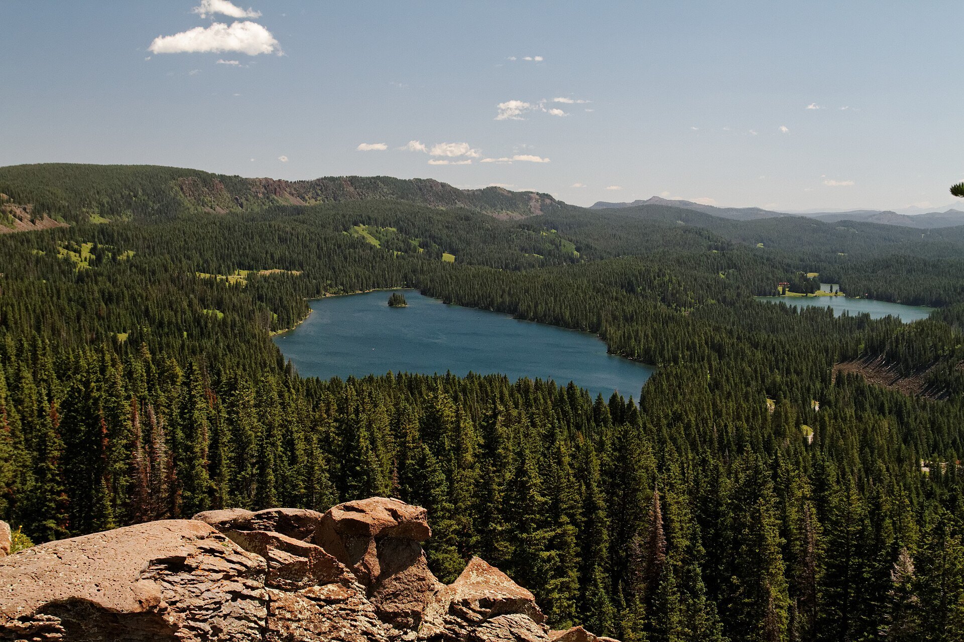
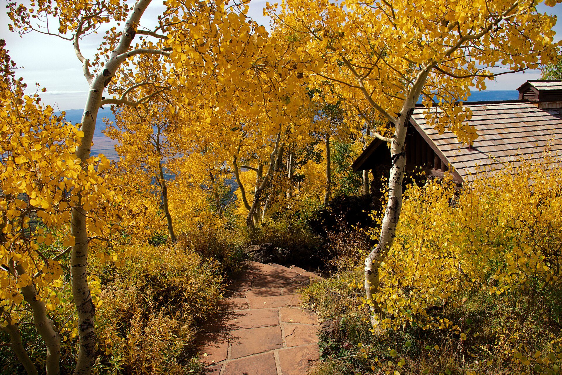
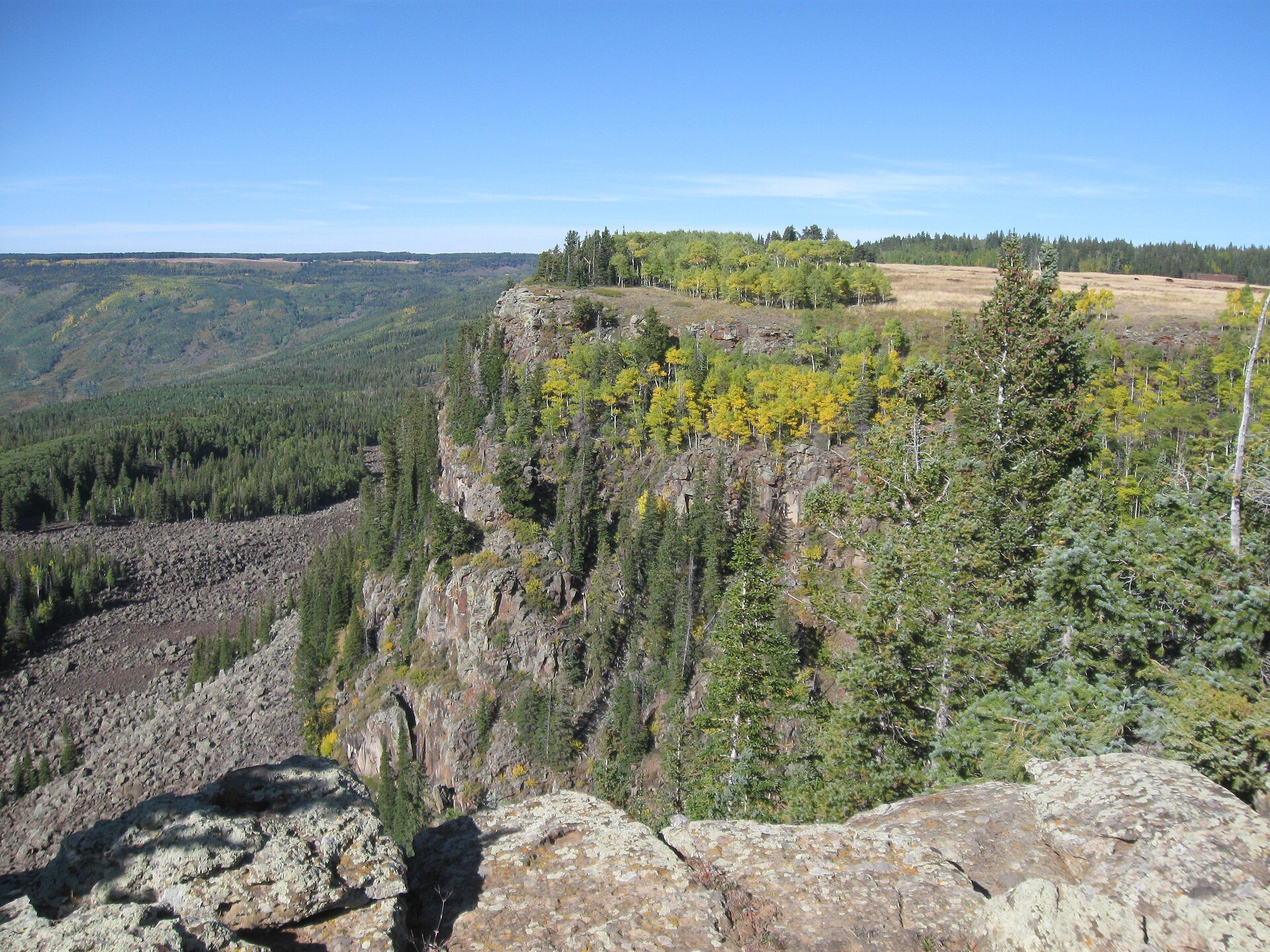
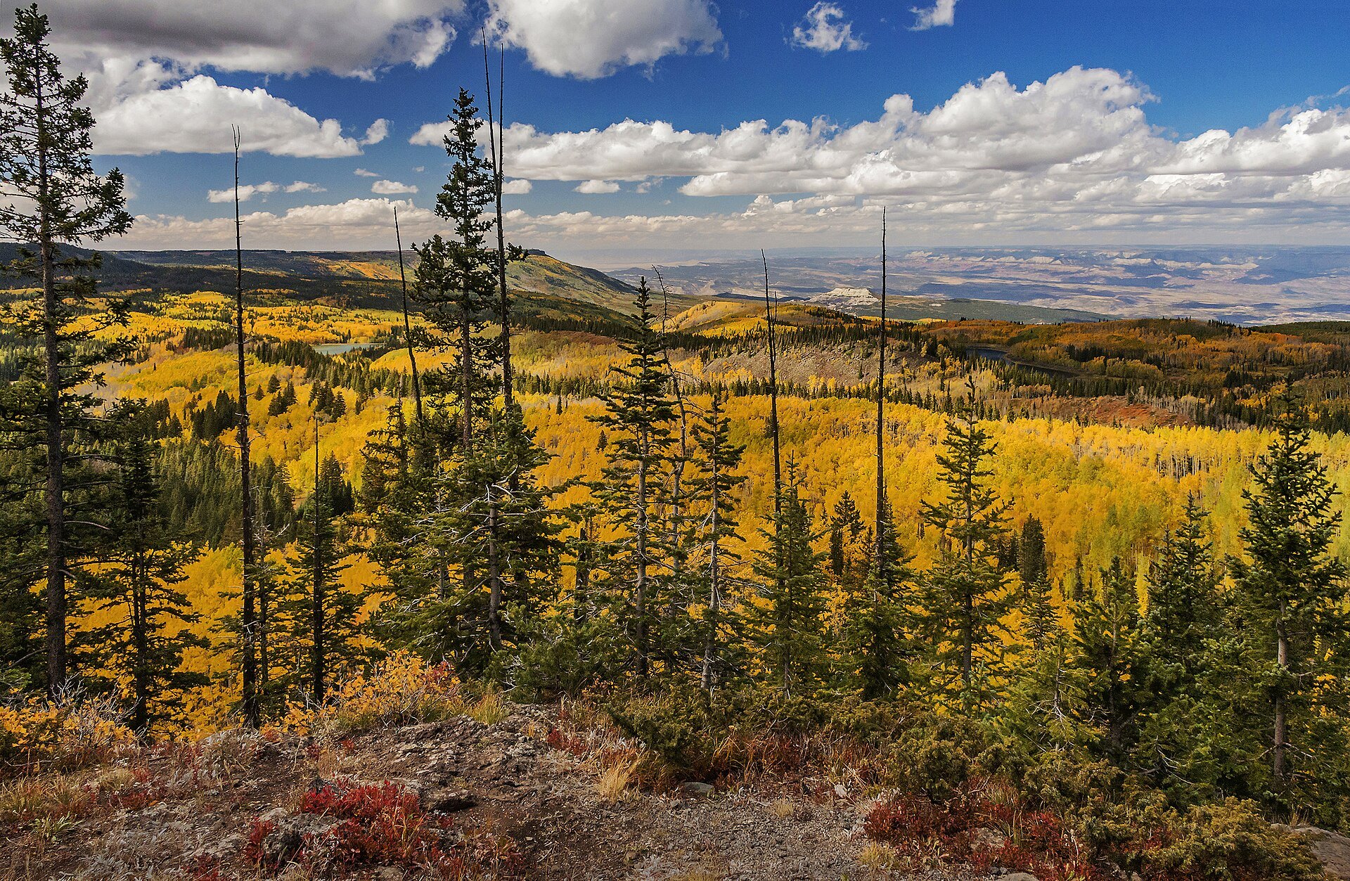
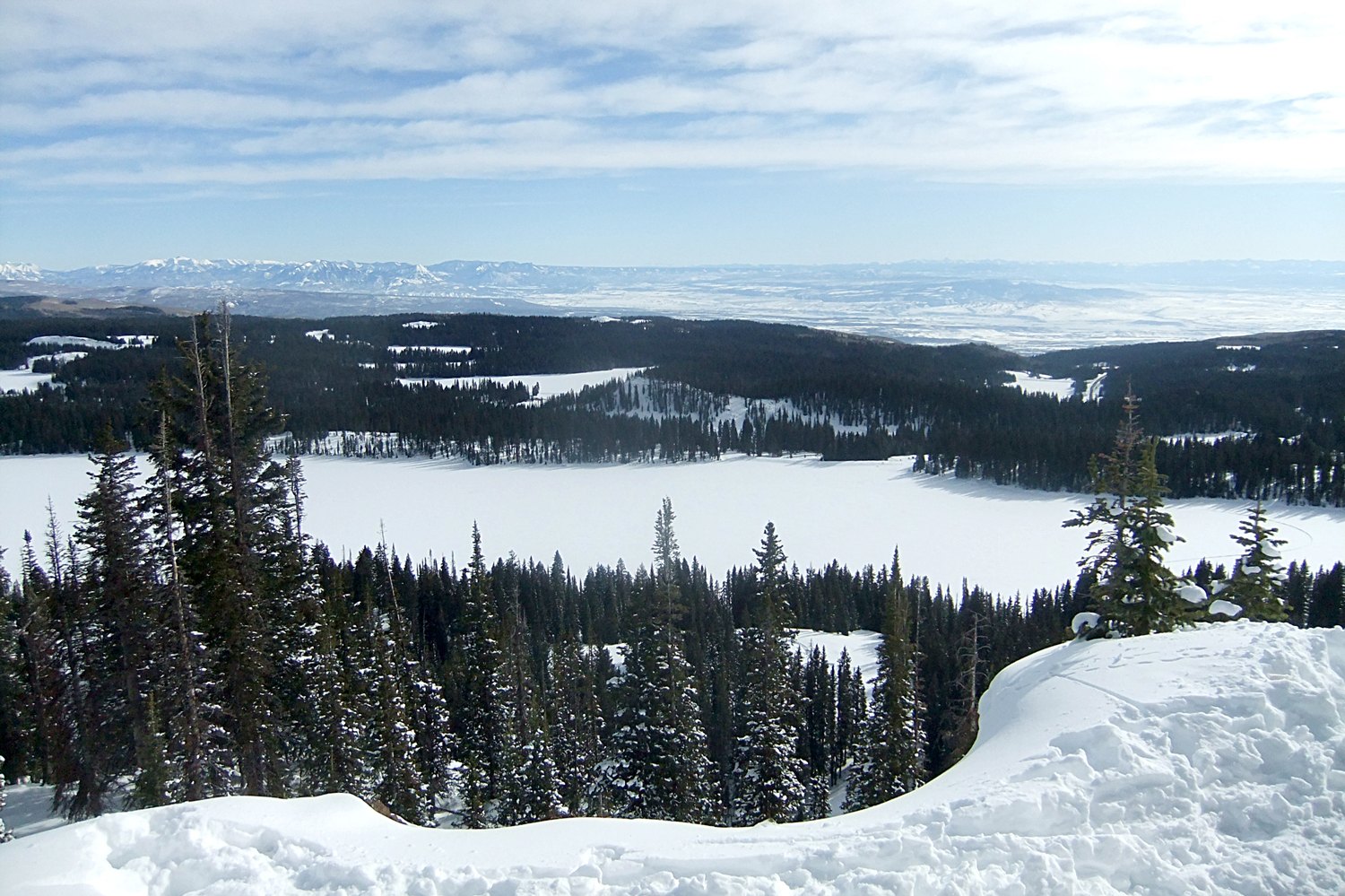
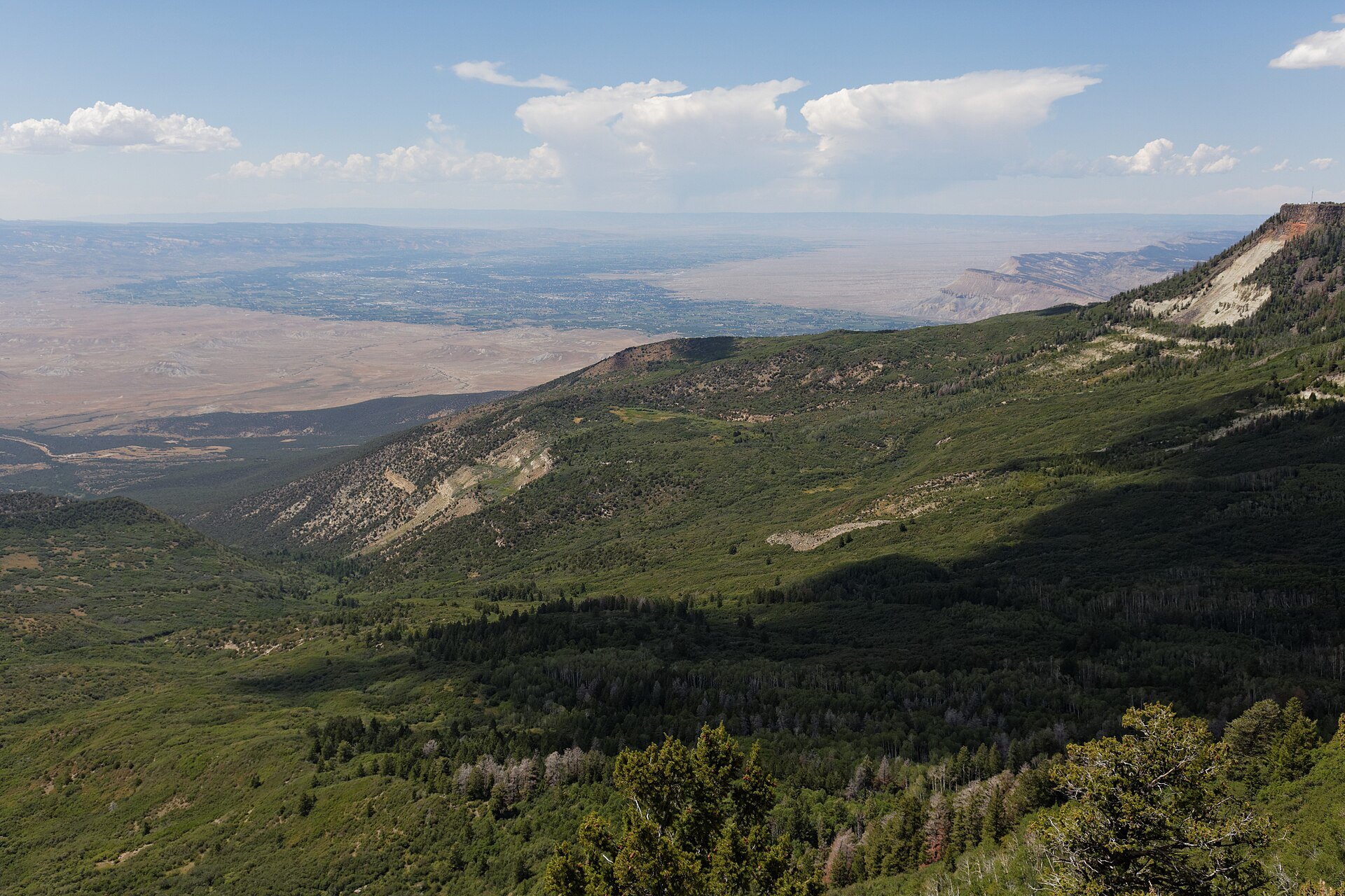
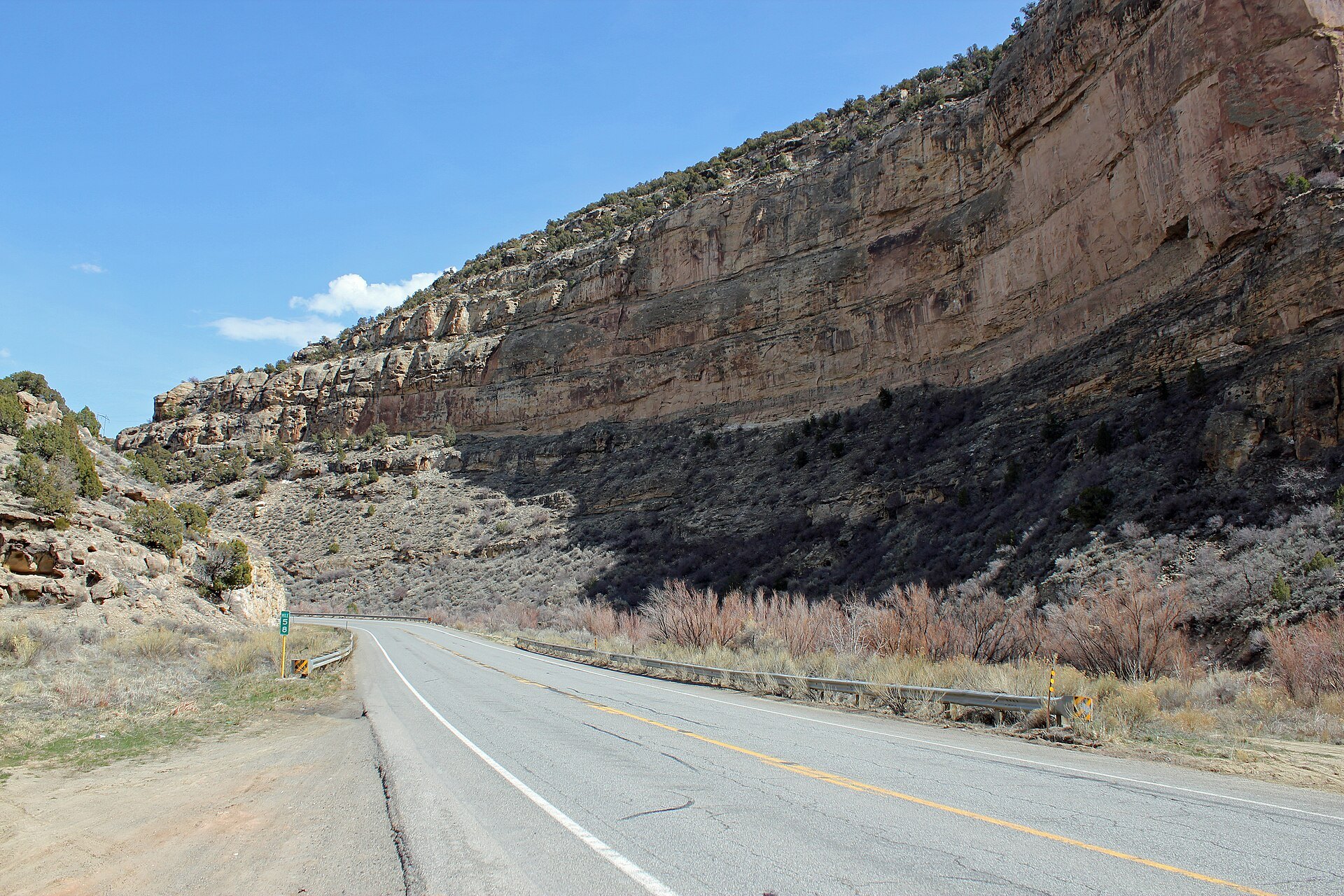
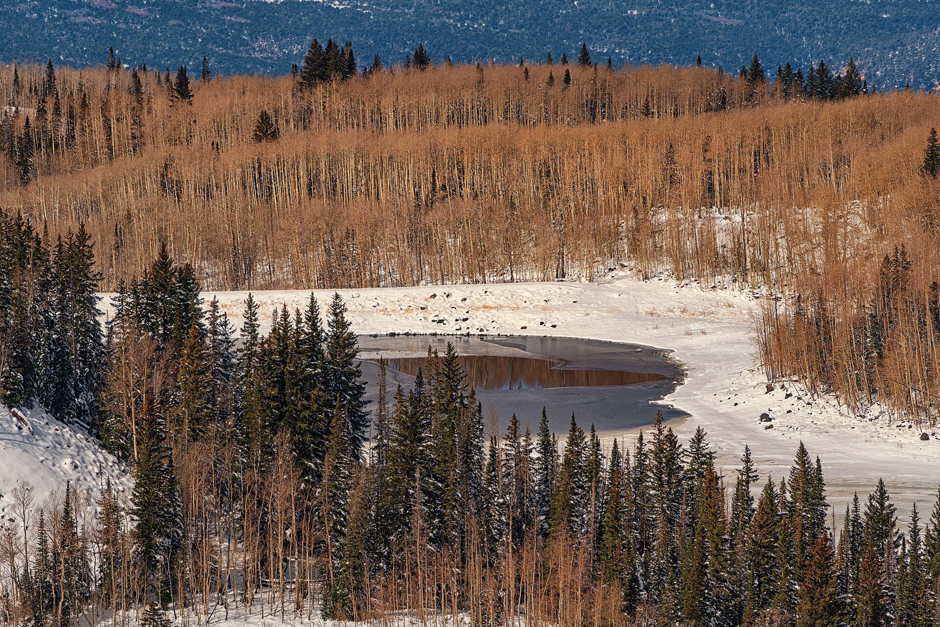
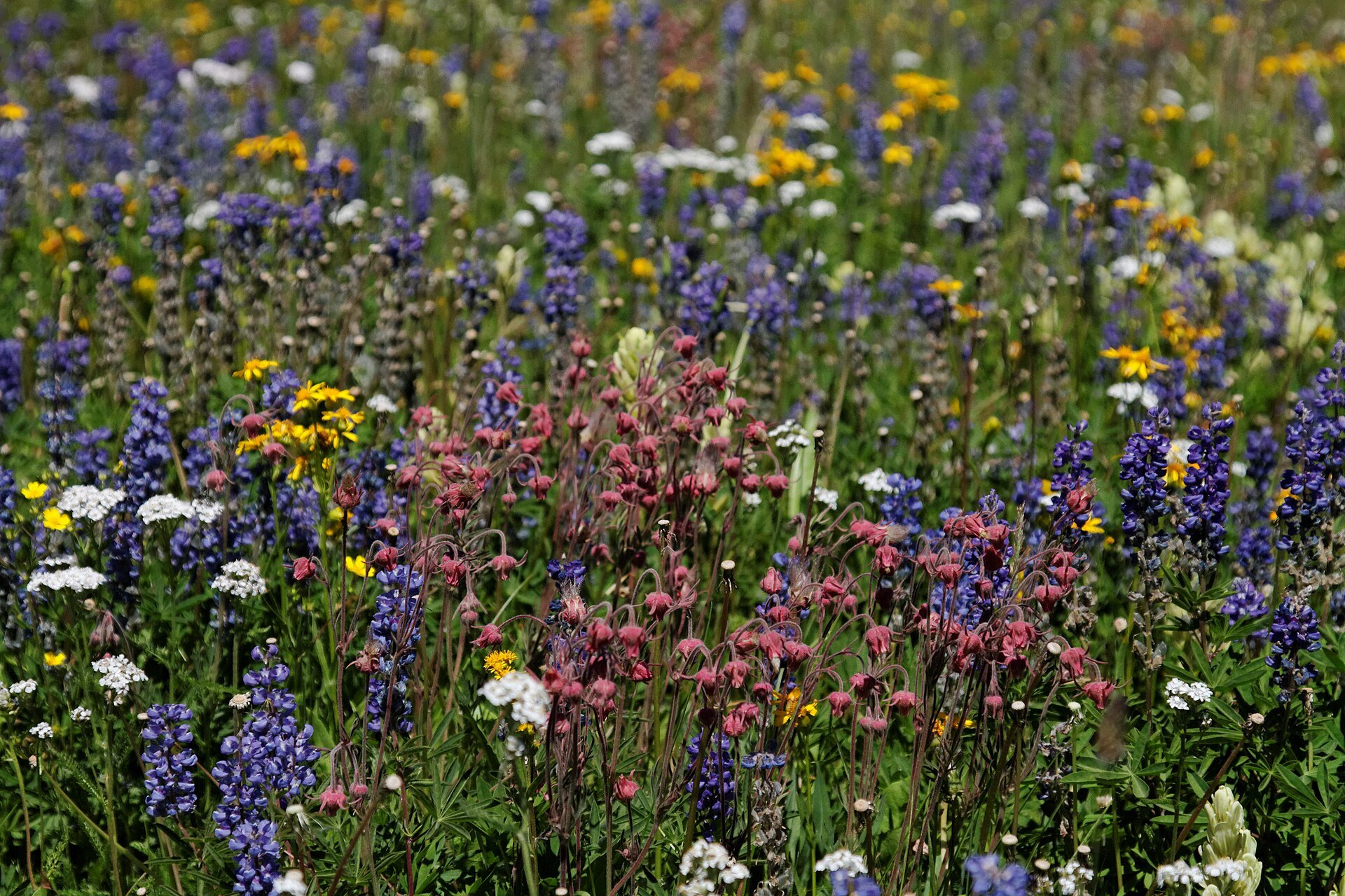
Photo credits: Grand Mesa (6161686256) by Kimon Berlin (CC BY-SA 2.0); Autumn on Grand Mesa, Lands End Observatory area, Lands End Road, Grand Mesa, Colorado, September 30, 2015 (36547977870) by Mike Goad (CC0); Cliff edge on Grand Mesa Colorado by DrunkDriver (CC BY-SA 3.0); Grand Mesa Autumn by George Welik (49495143421) by Channel City Camera Club (CC BY 2.0); Grand Mesa South by Jaknelaps (CC BY-SA 3.0); Grand Mesa 8-17 (14992153484) by KimonBerlin (CC BY-SA 2.0); Colorado State Highway 65 by Jeffrey Beall (CC BY-SA 3.0); Freezing Pond on the Grand Mesa Scenic Byway – Colorado in Winter (52745315862) by Tony Webster (CC BY 2.0); Grand Mesa 2011-08-07 (6161688656) by KimonBerlin (CC BY-SA 2.0). Images via Wikimedia Commons.
News & Events
The Grand Mesa Visitor Center closed for the season after the last Sunday in September and will reopen on Memorial Day weekend 2027, open daily from 9 a.m. to 5 p.m. Highway 65 stays open through the winter, but snow and ice are common on the top of the mesa, so check COtrip.org for road conditions and the Grand Mesa, Uncompahgre and Gunnison National Forests site for alerts before you go.
Frequently Asked Questions
What is there to do on Grand Mesa?
- Scenic byway: Drive the 63-mile Grand Mesa Scenic and Historic Byway.
- Lands End Overlook: Gaze across the Grand Valley from the mesa’s rim.
- Lakes: Fish, paddle or picnic at Mesa Lakes and Island Lake.
- Hiking: Walk the ridge-top Crag Crest Trail.
- Winter fun: Ski at Powderhorn or explore snowy trails.
How big is Grand Mesa?
Grand Mesa covers about 500 square miles and rises to roughly 11,000 feet. It is widely described as the largest flat-topped mountain in the world.
How many lakes are on Grand Mesa?
There are more than 300 lakes and reservoirs on top of Grand Mesa, many of them stocked with trout and easy to reach from Highway 65 or Forest Service roads.
When is the Grand Mesa Visitor Center open?
The visitor center is open from 9 a.m. to 5 p.m. daily from Memorial Day weekend through the last Sunday in September, closed on federal holidays. Admission is free.
Where does the Grand Mesa Scenic Byway start?
The byway follows Colorado Highway 65 for 63 miles, starting at I-70 east of Palisade and passing through the town of Mesa and ending in Cedaredge, with a side road leading to Lands End.
The Grand Mesa Visitor Center is located at 20090 Baron Lake Drive, Cedaredge, CO 81413. Call 970-856-4153 or visit fs.usda.gov to plan your visit.