
Independence Pass
Independence Pass carries Colorado Highway 82 over the Continental Divide at 12,095 feet, making it one of the highest paved mountain crossings in the state. The pass sits in the Sawatch Range about 19 miles east of Aspen and 18 miles west of Twin Lakes, and the drive is a summer-and-fall classic, with alpine tundra, jagged peaks and a ghost town along the way.
Independence Pass in Aspen, CO
The 32-mile stretch of Highway 82 between the winter closure gates is what most people mean by Independence Pass. At the summit, a paved path leads from the parking area to an overlook with big views of the high Sawatch peaks, including Mount Elbert and La Plata Peak, and a Braille trail lets visitors with low vision explore the tundra too. The road is part of the Top of the Rockies Scenic Byway and is narrow and winding in places, so vehicles longer than 35 feet are not allowed.
The pass has a rich history. It was first known as Hunter Pass, and the mining camp of Independence, founded on July 4, 1879, about 4 miles west of the summit, gave it its current name. A toll stage road opened over the pass in 1881, the state took over the road in 1927 and it was fully paved in 1967. The Independence ghost town was listed on the National Register of Historic Places in 1973, and its weathered cabins are an easy stop. Since 1989 the nonprofit Independence Pass Foundation has worked to restore and protect the corridor. On the Aspen side, popular stops include the Grottos and the Devil’s Punchbowl swimming hole on the Roaring Fork River.
Photo Gallery
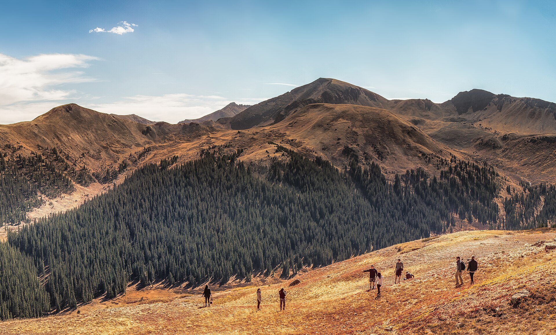
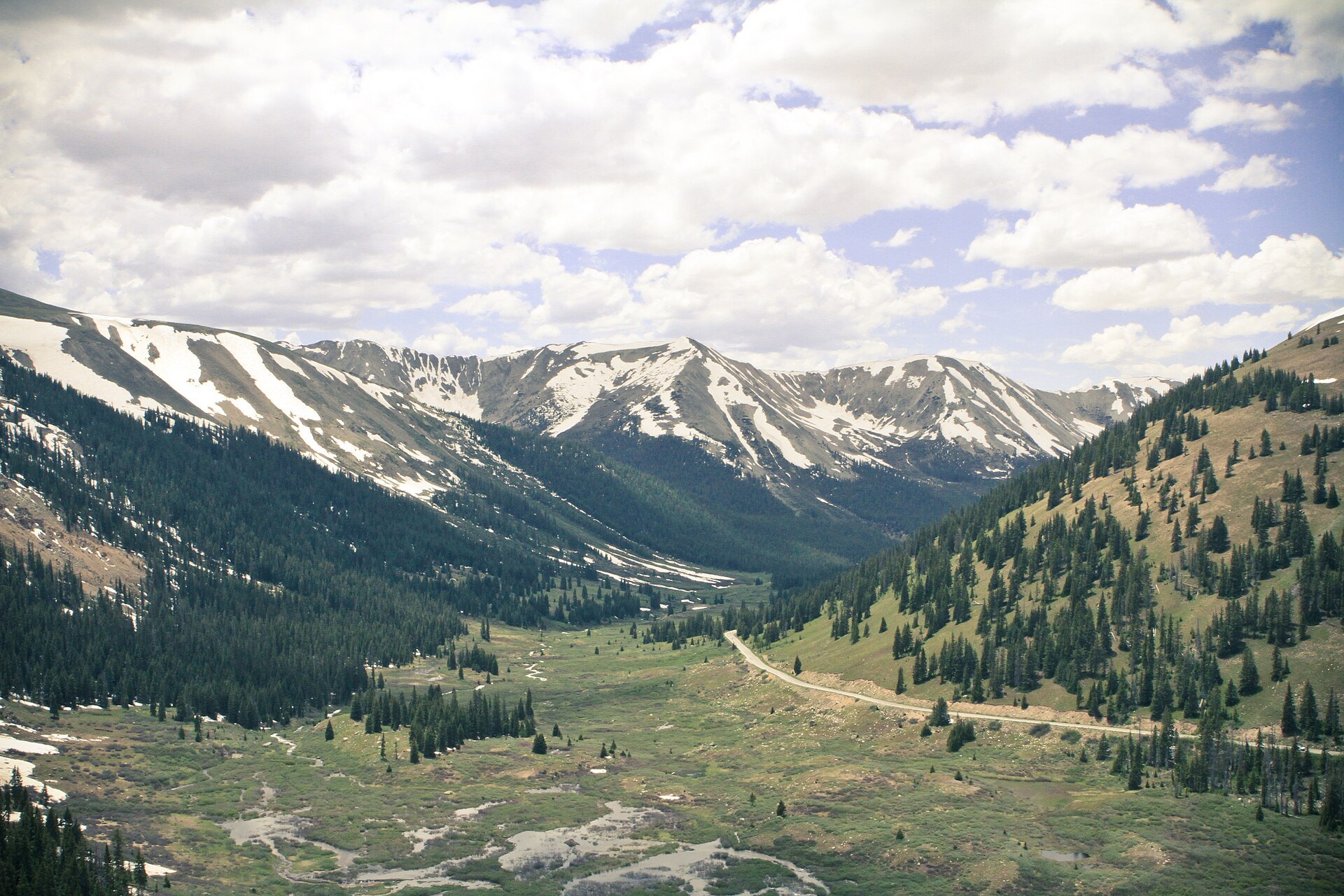
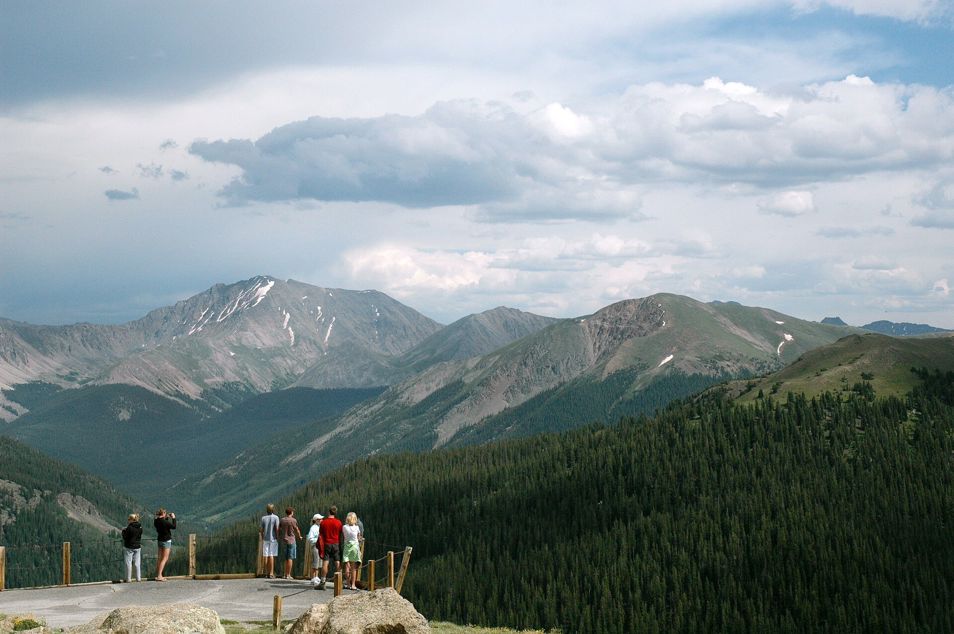
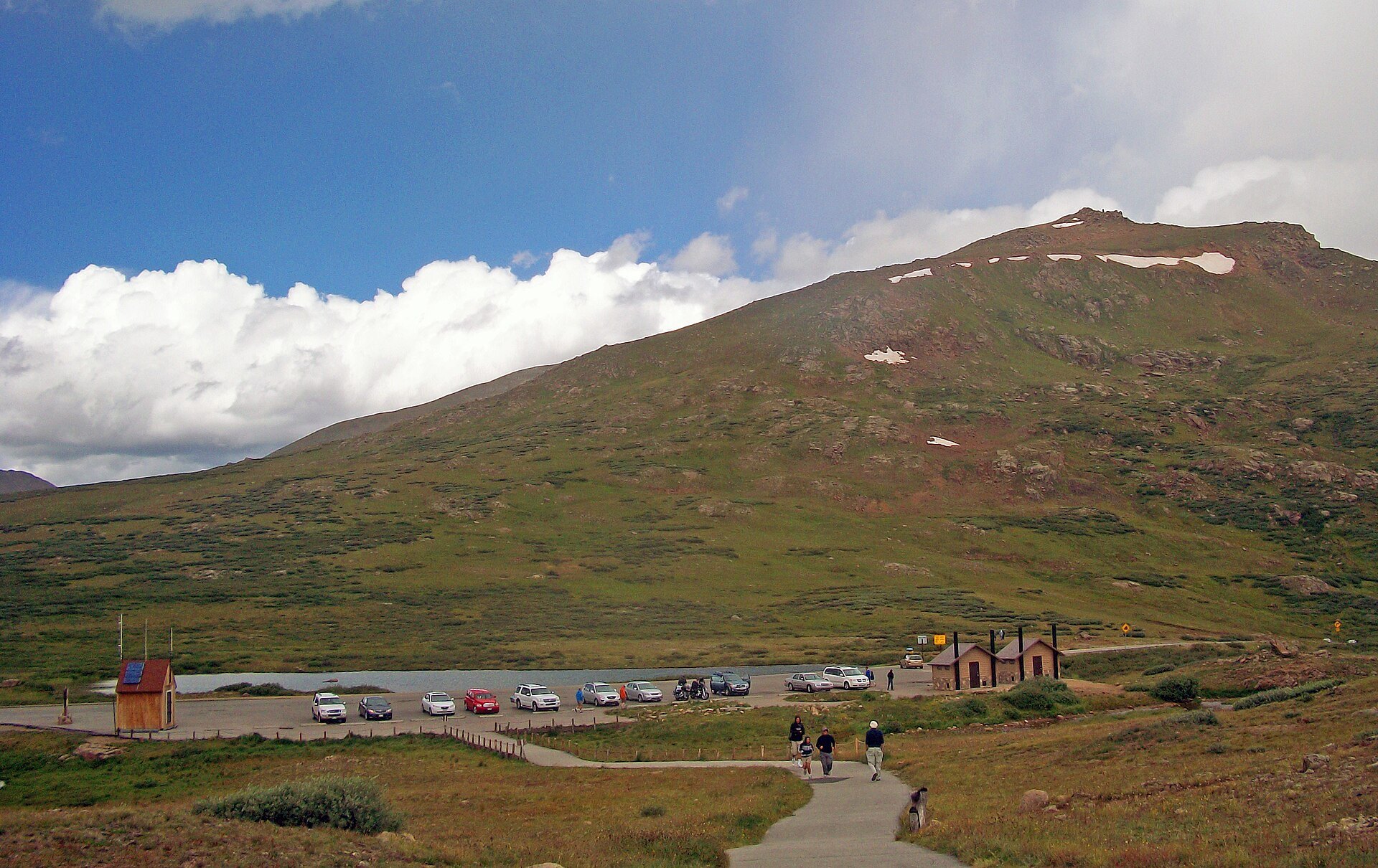
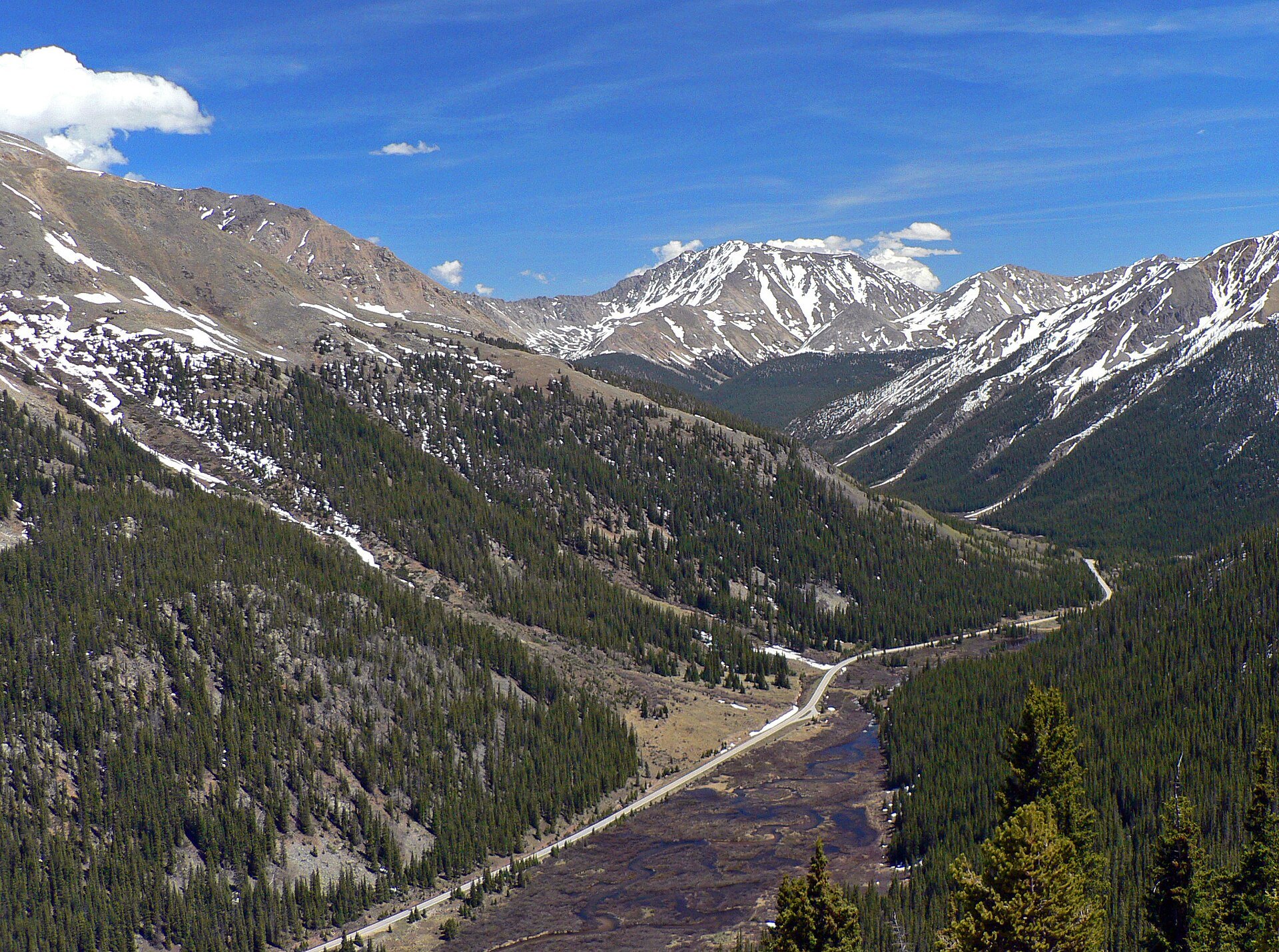
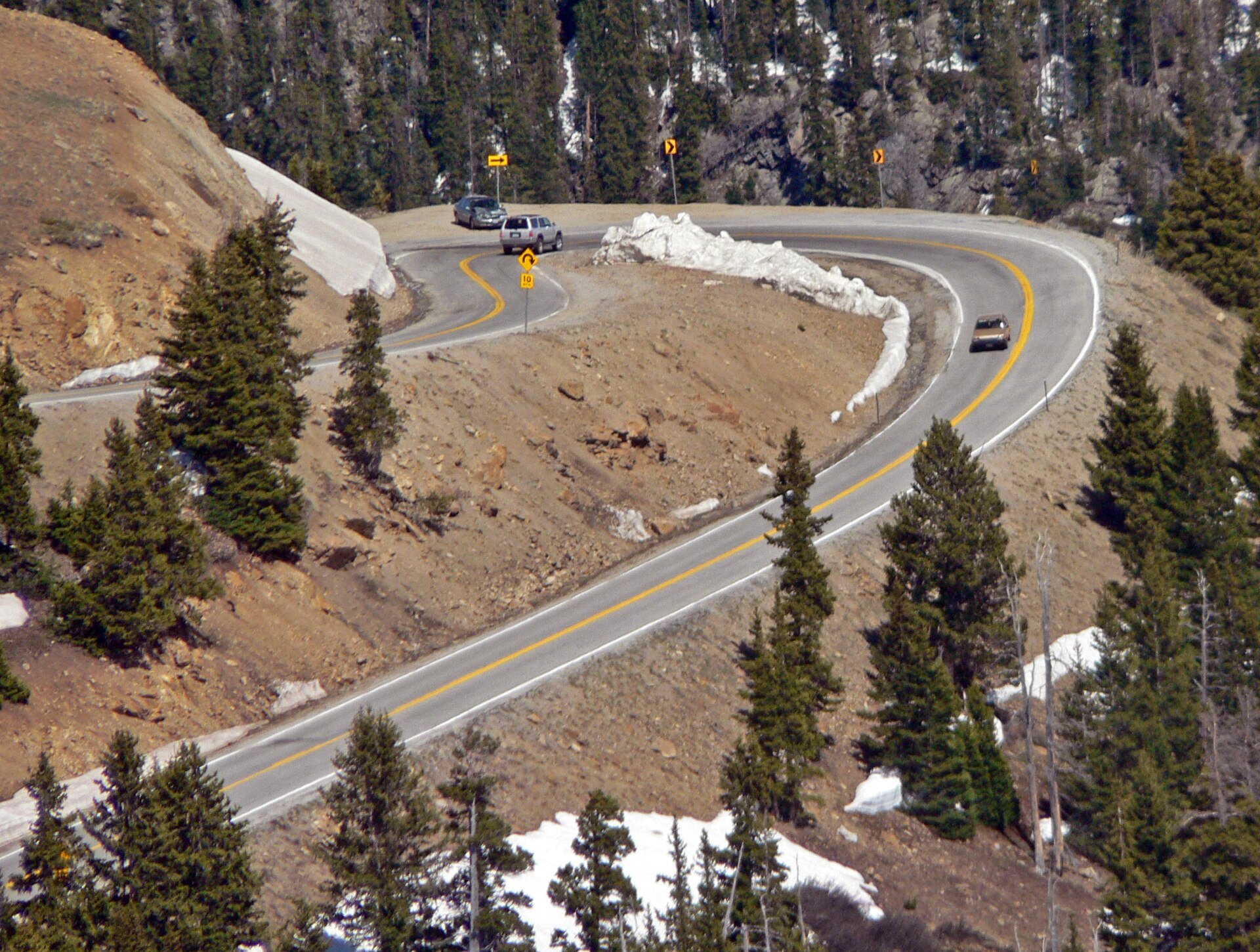
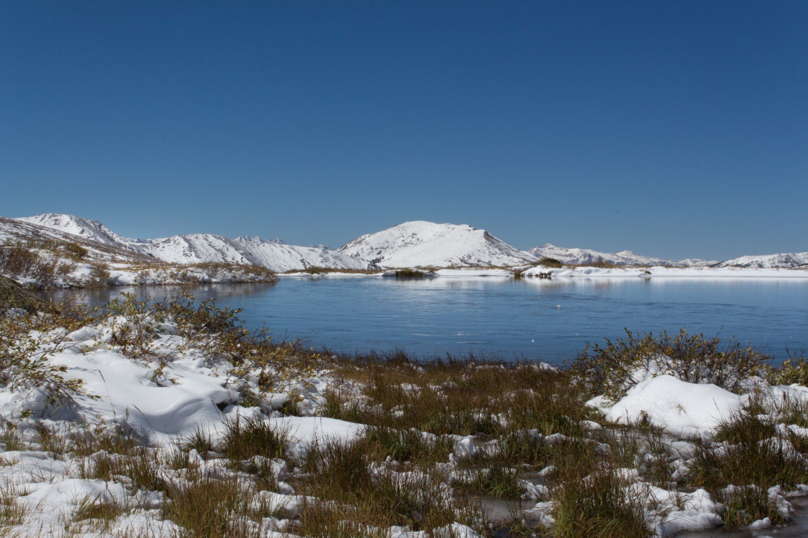
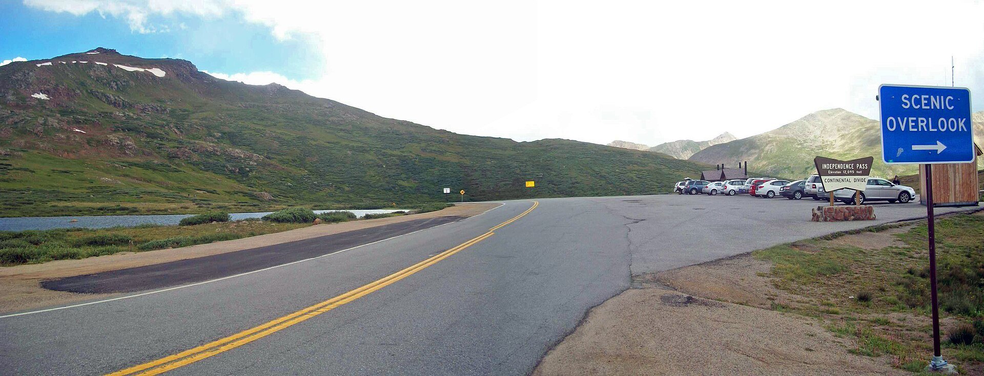
Photo credits: Independence Pass, CO 4 by David Zhang (CC BY-SA 2.0); Independence Pass Continental Divide – July 2011 (5903360304) by Nan Palmero (CC BY 2.0); Independence Pass Overlook, Colorado, 2009 by DimiTalen (CC0); View across Independence Pass, CO by Daniel Case (CC BY-SA 3.0); View of Colorado State Highway 82 east from Independence Pass by Rick Kimpel (CC BY-SA 2.0); Switchback on Colorado State Highway 82 east of Independence Pass by Rick Kimpel (CC BY-SA 2.0); Independence Pass, Colorado – panoramio by Cal Wolfe (CC BY-SA 3.0); Independence Pass panorama from Highway 82 by Daniel Case (CC BY-SA 3.0). Images via Wikimedia Commons.
News & Events
Independence Pass is open for the fall season right now, but not for long. Snow usually forces the road closed in late October or early November, and CDOT closes the winter gates by Nov. 7 at the latest, then reopens the pass before Memorial Day. Check COtrip.org for current road conditions before you go, and visit independencepass.org to learn about the foundation’s restoration work.
Frequently Asked Questions
What is there to do at Independence Pass?
- Scenic drive: Cross the Continental Divide on Highway 82 at 12,095 feet.
- Summit overlook: Walk the paved path for views of the Sawatch Range.
- Ghost town: Explore the cabins of the Independence townsite.
- Hiking: Wander the alpine tundra and trails along the corridor.
- River stops: Visit the Grottos and the Devil’s Punchbowl near Aspen.
What is nearby Independence Pass?
- Maroon Bells: Colorado’s most photographed peaks near Aspen.
- Crystal Mill: A historic mill on the Crystal River near Marble.
- National Mining Hall of Fame and Museum: Mining history in Leadville.
- Tabor Opera House: A historic 1879 theater in Leadville.
- Twin Lakes: A quiet village and lakes at the east foot of the pass.
How much does it cost to visit Independence Pass?
Driving Independence Pass is free. There is no toll or entry fee for the road, the summit overlook or the Independence ghost town.
When is Independence Pass open?
The road is open 24 hours a day from late May until snow closes it, usually in late October or early November. CDOT closes the winter gates by Nov. 7 at the latest and reopens the pass before Memorial Day.
Are there any tips for visiting Independence Pass?
The summit is more than 12,000 feet above sea level, so take it slow, drink water and bring a warm layer even in July. The road is narrow with tight curves and steep drop-offs, so drive carefully and use the pullouts. Vehicles over 35 feet are prohibited. Afternoon thunderstorms are common in summer, so plan to visit the summit in the morning, and check COtrip.org for closures in spring and fall.
Independence Pass is located on State Highway 82 between Aspen and Twin Lakes, CO. Call the Independence Pass Foundation at 970-274-9690 or visit independencepass.org to plan your visit.