
Loveland Pass
Loveland Pass lifts U.S. Highway 6 over the Continental Divide at 11,990 feet, a switchbacking high-alpine drive where tundra ridges, snowfields and a famous summit sign make one of the most photographed pullouts in Colorado.
Loveland Pass on the Continental Divide, CO
Most travelers zip under the Divide through the Eisenhower-Johnson Memorial Tunnels on I-70, but the old way over the top is the scenic one. Leave I-70 at Exit 216 westbound (or Exit 205 eastbound from Dillon) and U.S. 6 climbs hairpin turns at roughly a 6% grade past Loveland Ski Area to a broad saddle on the line between Clear Creek and Summit counties. The summit sign marks the split between Atlantic and Pacific drainages, and on a clear day you look across rolling alpine ridges in every direction before the road drops toward Arapahoe Basin, Keystone and Lake Dillon.
The pass also does real work. Under Colorado rules, trucks hauling placarded hazardous materials, including fuel tankers, must use Loveland Pass instead of the tunnels whenever the pass is open, so expect slow-moving trucks on the grades. When storms or avalanche control close U.S. 6, CDOT escorts eligible hazmat loads through the tunnels at the top of the hour. Pair the drive with a day at Loveland Ski Area or Arapahoe Basin, a lakeside stop at Lake Dillon, or a historic lunch in Georgetown on the way back east.
Insider tip: At nearly 12,000 feet, weather turns fast and the air is thin, so bring layers even in summer and take short walks slowly. The summit is a popular springtime backcountry ski spot, but it is serious avalanche terrain; check the Colorado Avalanche Information Center forecast and carry rescue gear if you leave the parking area in snow season. Always check COtrip.org for closures before you go.
Photo Gallery
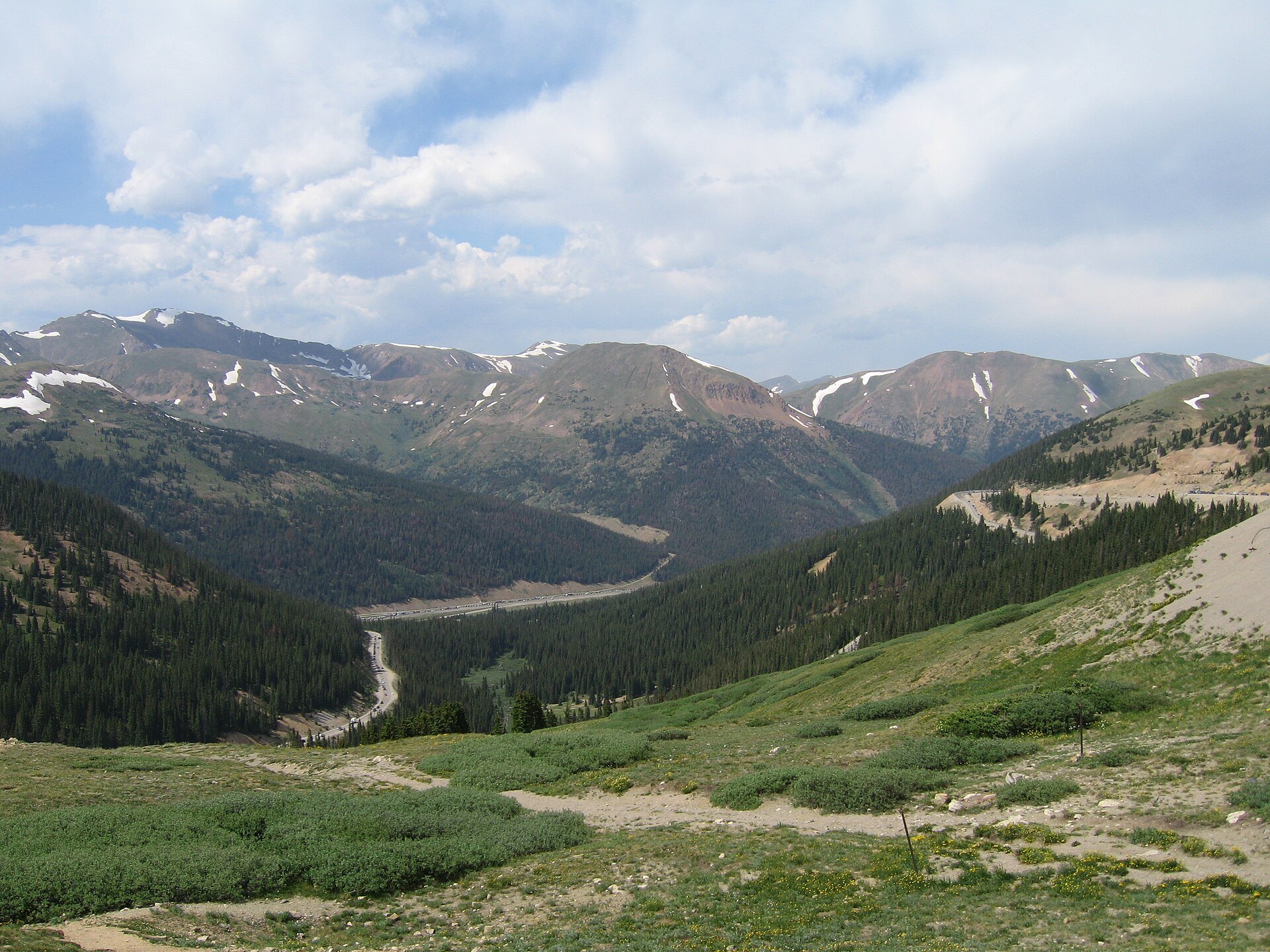
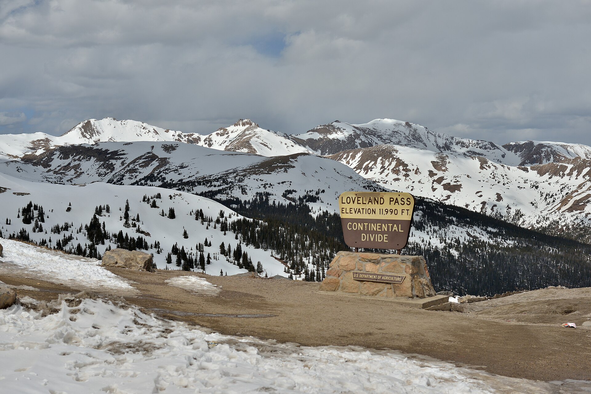
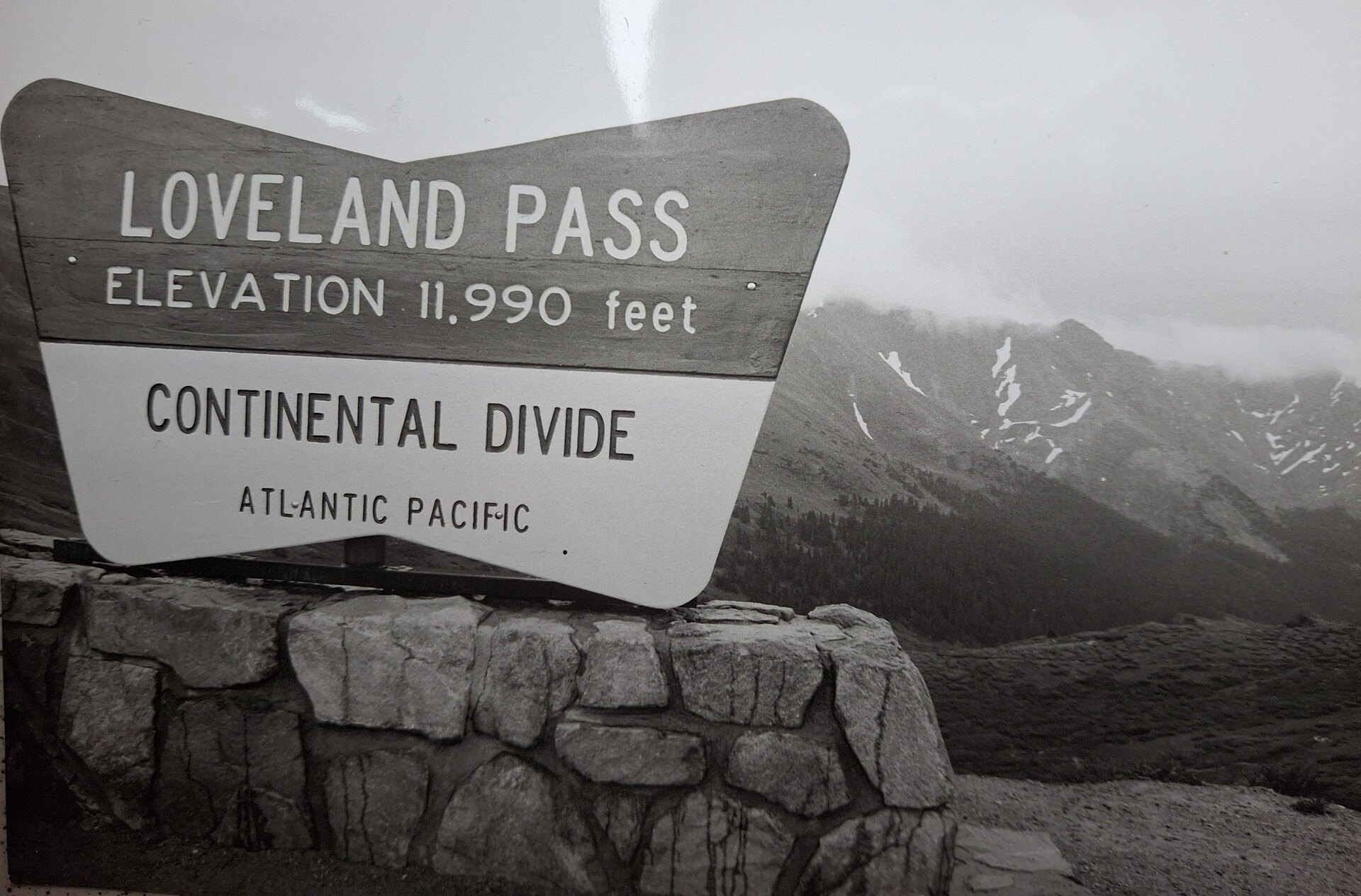
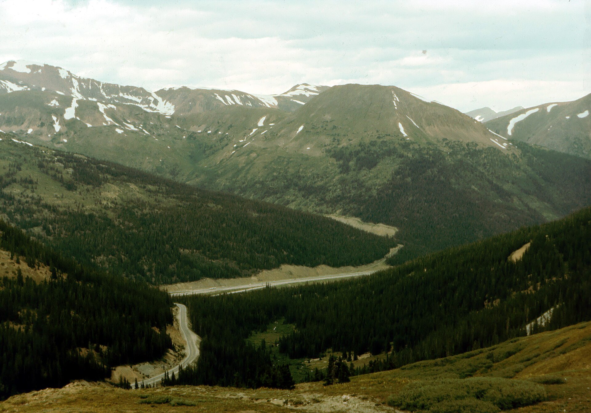
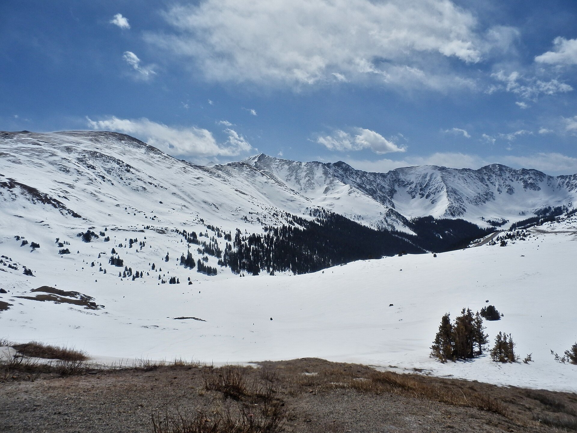
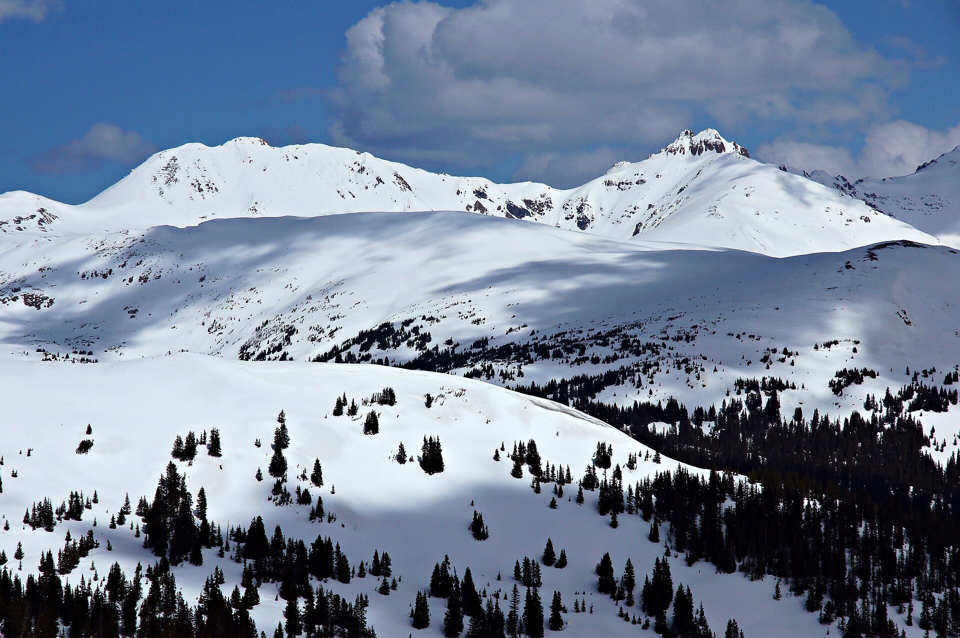
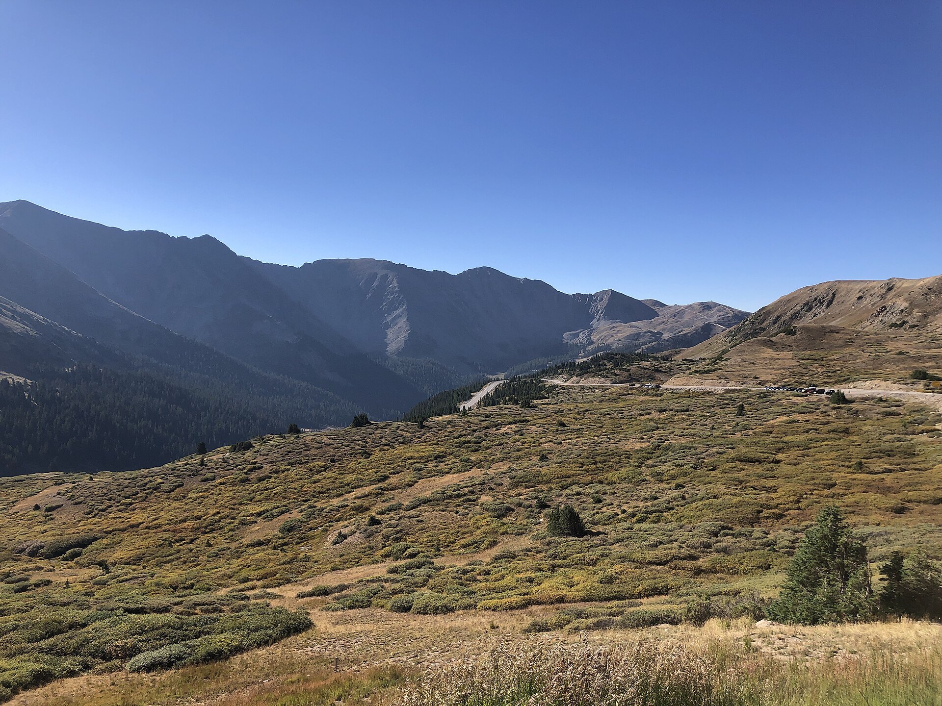
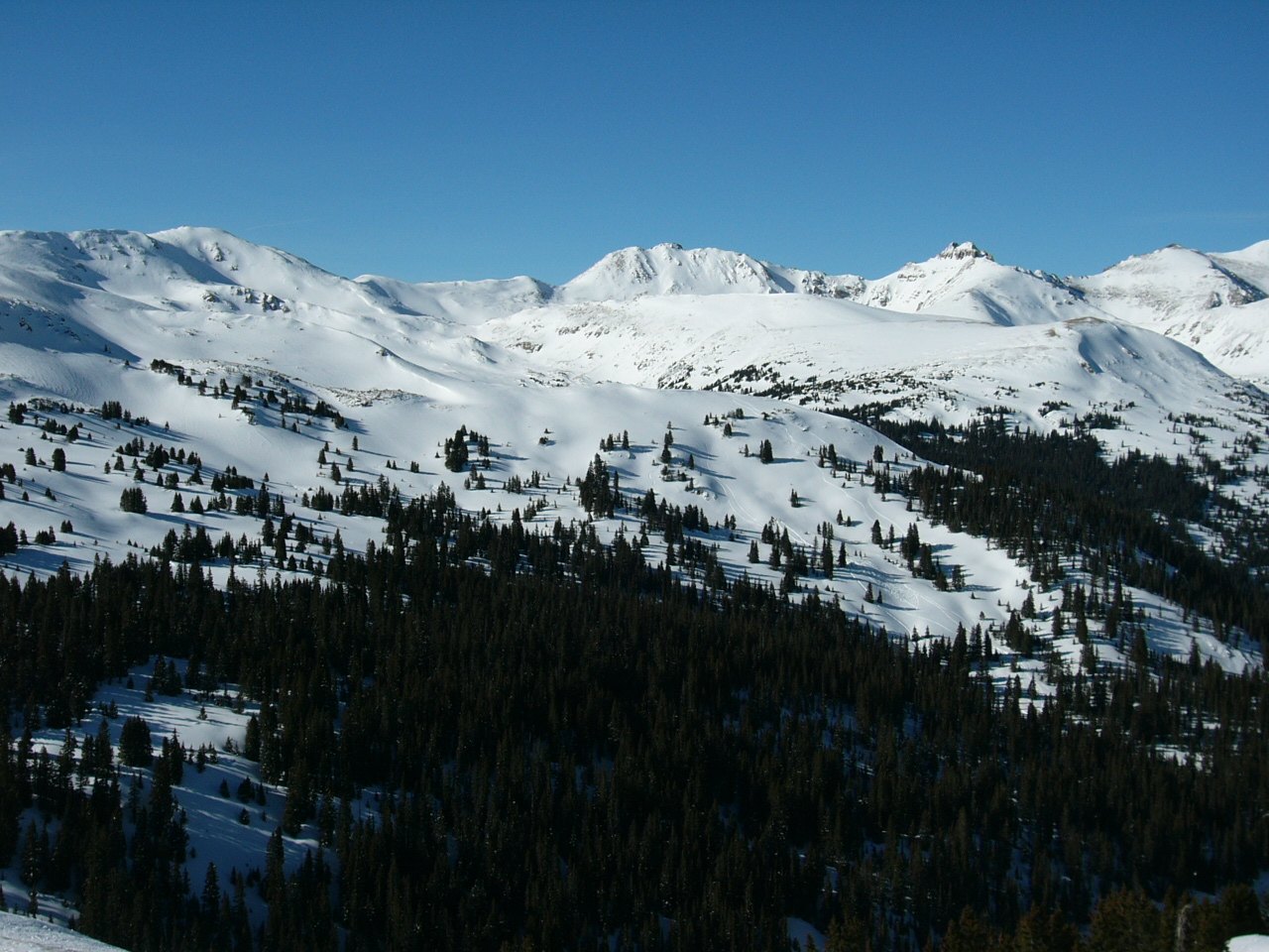
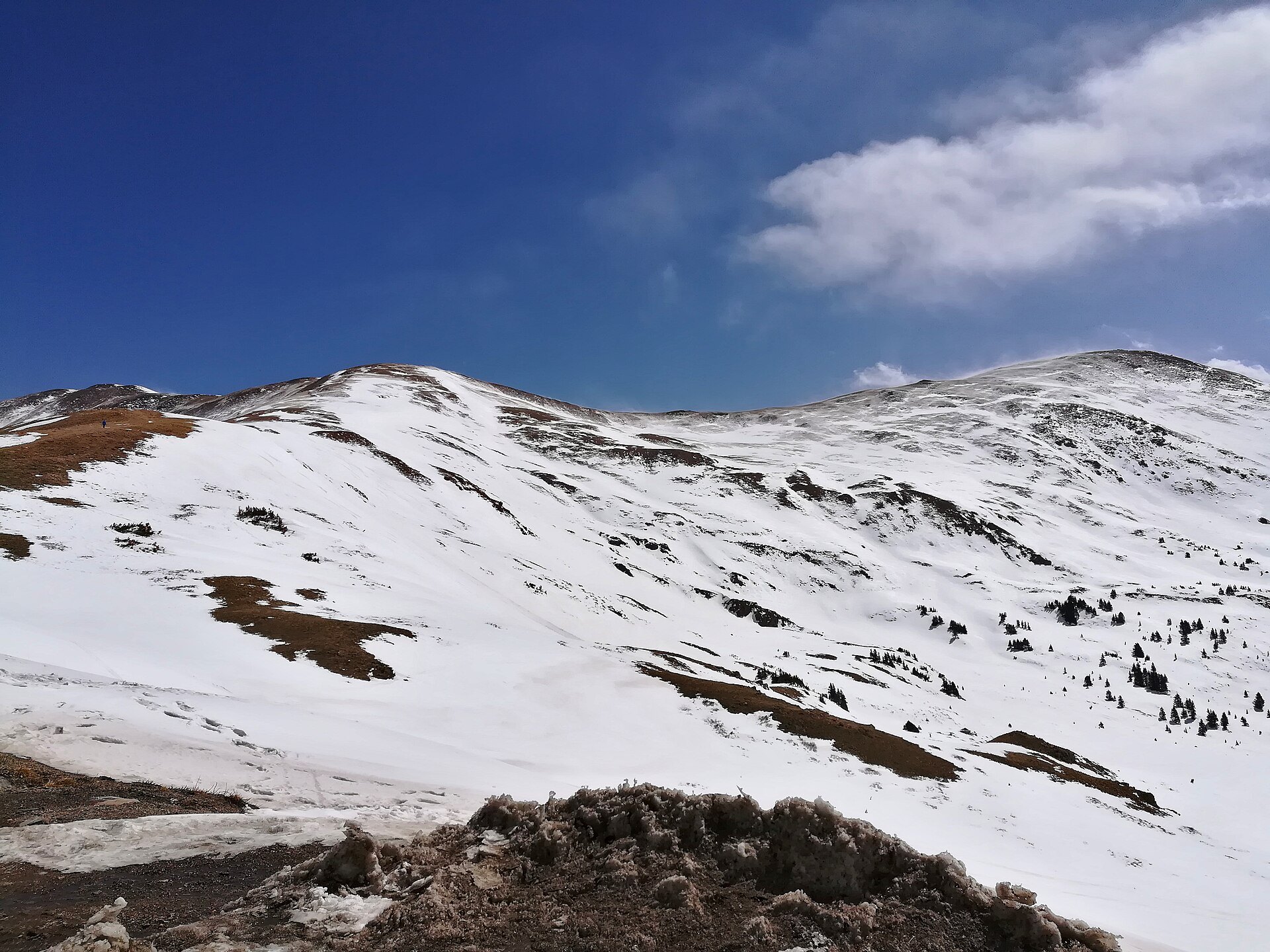
Photo credits: LovelandPassCO by en:Vidor (Public domain); Continental divide on Loveland pass 3654 m by This Photo was taken by Wolfgang Moroder. Feel free to use my photos, but please (CC BY-SA 3.0); Průsmyk Loveland Pass, 3655 m n.m., rozvodí Atlatik-Pacifik; jih Colorada, Front Range0241112 123004 by Scylla54 (CC0); Loveland Pass, Colorado 1993 – panoramio by Sirujs Enobs (CC BY-SA 3.0); Loveland Pass P4170518 by Alexander Migl (CC BY-SA 4.0); Loveland Pass Snowy Mountain Peaks and Clouds by MichaelKirsh (CC BY-SA 4.0); 2022-09-11 09 02 26 View westward down U.S. Route 6 from just below Loveland Pass in Summit County, Colorado by Famartin (CC BY-SA 4.0); Loveland Pass, Colorado by Brian Boulos (CC BY 2.0); Loveland Pass IMG 20180417 110732 by Alexander Migl (CC BY-SA 4.0). Images via Wikimedia Commons.
News & Events
Loveland Pass stays open year-round as part of U.S. 6, but winter storms and avalanche mitigation can close it with little notice. Check live conditions and closures on COtrip.org before you drive, and remember that hazmat trucks are routed over the pass whenever it is open.
Frequently Asked Questions
How high is Loveland Pass?
Loveland Pass crests the Continental Divide at 11,990 feet on U.S. Highway 6, making it one of the highest paved passes in Colorado that stays open year-round.
Where is Loveland Pass?
It sits about 70 miles west of Denver on U.S. 6 between I-70 Exit 216 (near Loveland Ski Area and the east portal of the Eisenhower-Johnson Memorial Tunnels) and Keystone and Dillon in Summit County.
Is Loveland Pass open in winter?
Yes, it is a year-round state highway, but CDOT or Colorado State Patrol close it during storms, avalanche control and cleanup. Check COtrip.org for current status.
Why do trucks drive over Loveland Pass?
Colorado requires vehicles carrying placarded quantities of hazardous materials to use Loveland Pass instead of the Eisenhower-Johnson Memorial Tunnels when the pass is open. Some loads may be escorted through the tunnels at set times only when the pass is closed.
What is nearby Loveland Pass?
Loveland Ski Area sits at the base on the east side, Arapahoe Basin and Keystone Resort are just west, and Lake Dillon is a short drive down the valley.
Drive U.S. Highway 6 over Loveland Pass between I-70 Exit 216 and Dillon, CO 80435. For forest and trail information, contact the Arapaho National Forest Clear Creek Ranger District at (970) 295-6600 or visit fs.usda.gov; check road status at cotrip.org.