
Mount Bierstadt
Mount Bierstadt is many Coloradans’ very first fourteener, and for good reason. The trail starts high on Guanella Pass, about 90 minutes from Denver, and climbs a broad, friendly ridge to a 14,000-foot summit with a jaw-dropping view of the Sawtooth, Abyss Lake and Mount Blue Sky.
Mount Bierstadt from Guanella Pass, CO
Rising to roughly 14,060 feet above Guanella Pass, Mount Bierstadt is named for the 19th-century landscape painter Albert Bierstadt, who explored and sketched these peaks in 1863. The standard route is the Mount Bierstadt Trail #711, which the U.S. Forest Service lists at 3.6 miles one way from the trailhead at about 11,669 feet. Expect around 2,850 feet of climbing. The trail first drops gently across willow wetlands on boardwalks to Scott Gomer Creek (keep an eye out for moose), then switchbacks up onto the long west shoulder, and finishes with a short Class 2 scramble over boulders to the top.
The summit is the payoff. Directly east, the serrated ridge called the Sawtooth links Bierstadt to Mount Blue Sky (formerly Mount Evans), with Abyss Lake glittering in the basin below, and on clear days you can see Pikes Peak, the Continental Divide and dozens of other high peaks. Experienced scramblers sometimes traverse the Sawtooth to Mount Blue Sky, but it’s an exposed Class 3 route and not for first-timers. For everyone else, the out-and-back to Bierstadt’s summit is a full, rewarding day.
Respect the mountain. Start before sunrise in summer, because afternoon thunderstorms and lightning roll in fast above tree line. Fill out the free, mandatory wilderness permit at the trailhead, keep dogs on a hand-held leash, and step on rocks rather than fragile tundra near the top. Parking is allowed only in the designated lots at the pass, not along the road, and they fill early on summer weekends. Insider tip: make a day of it with breakfast in historic Georgetown and a slow drive back over Guanella Pass.
Photo Gallery
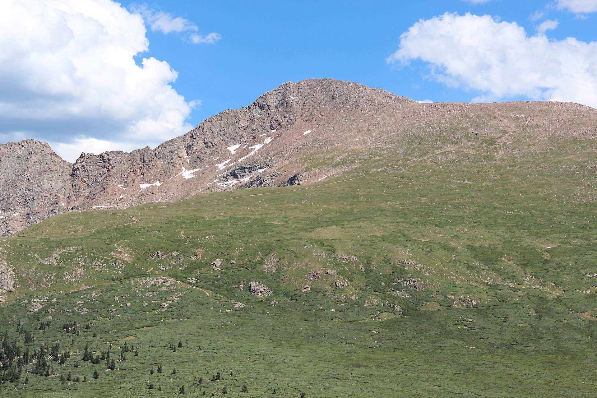
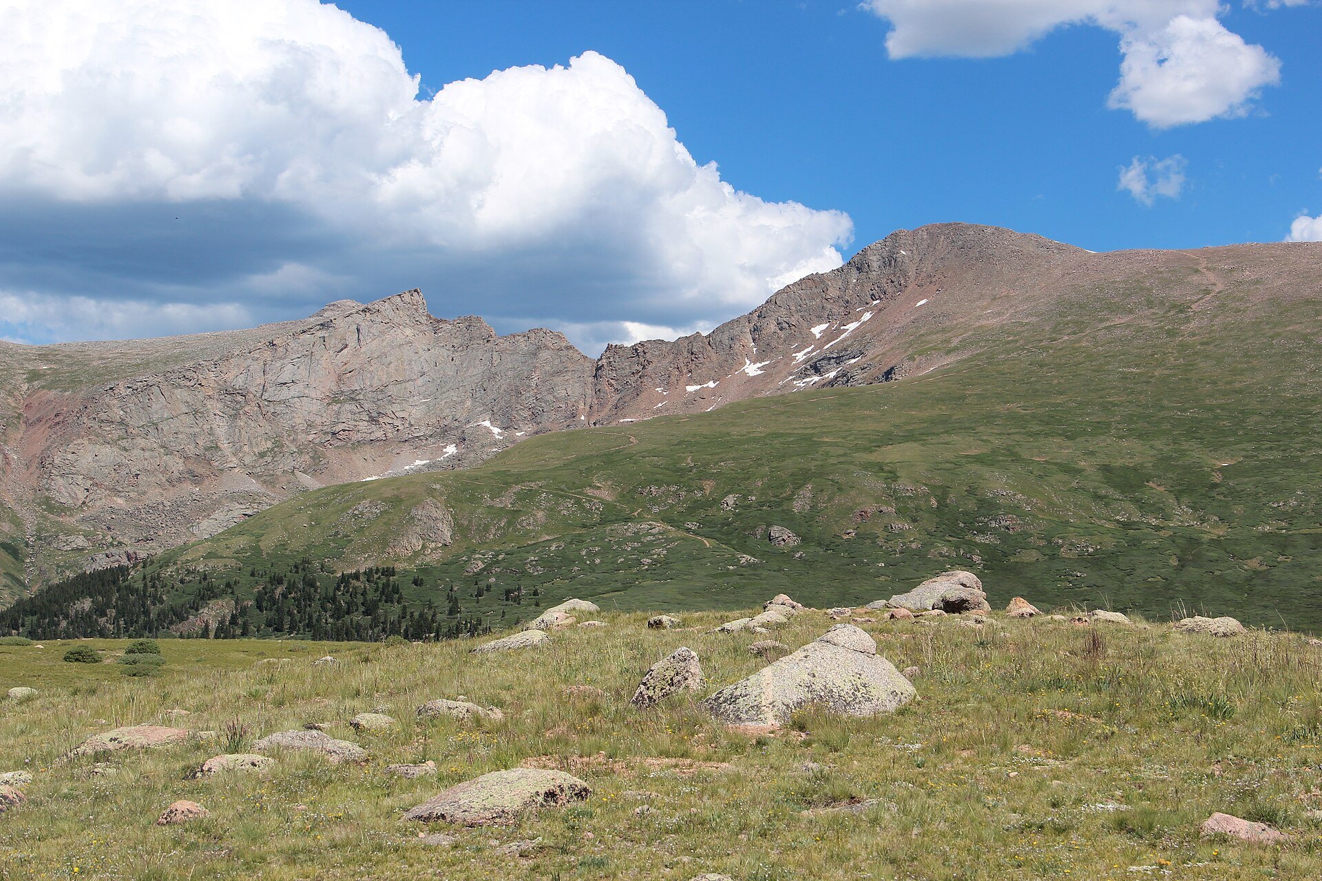
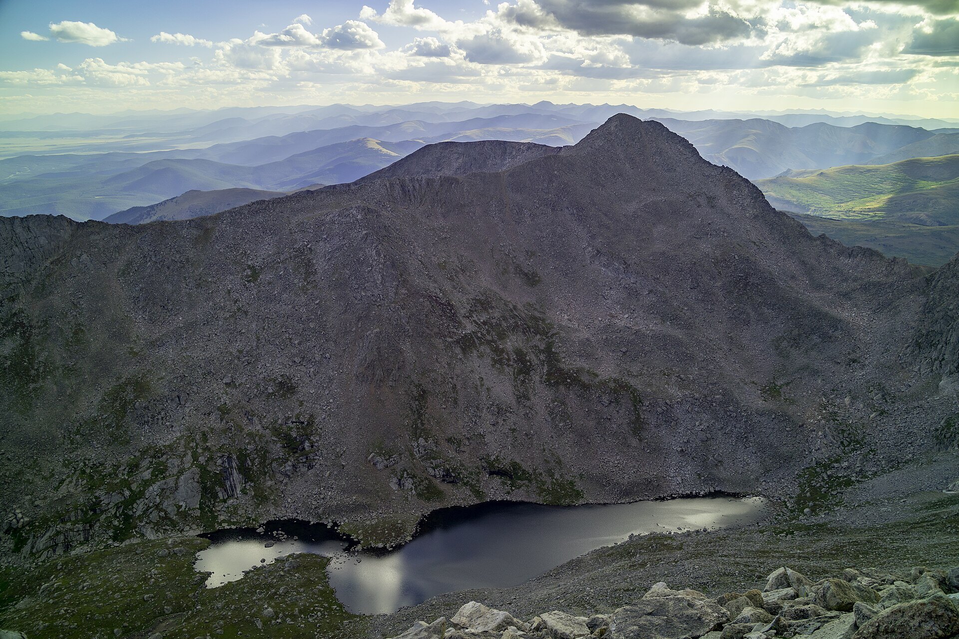
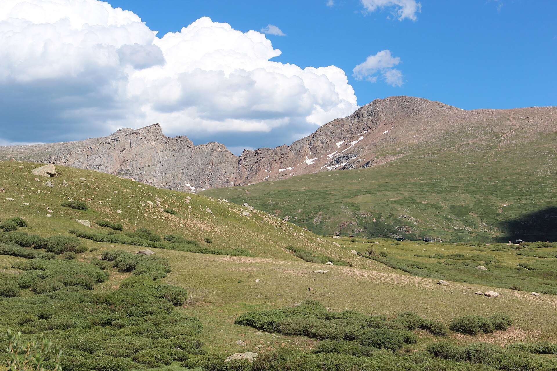
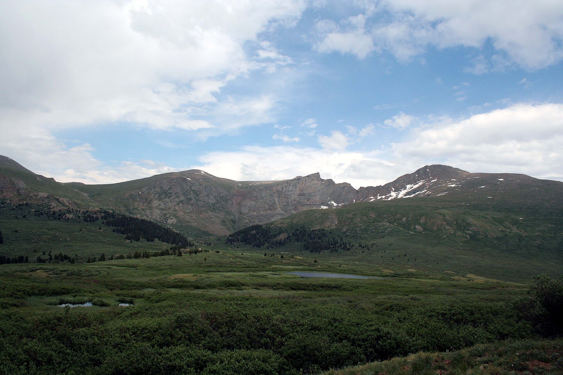
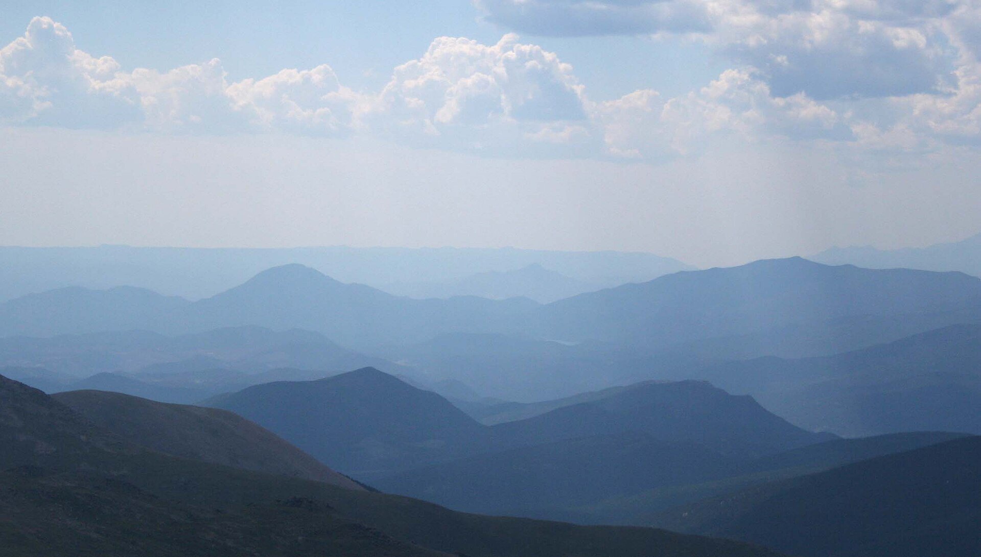
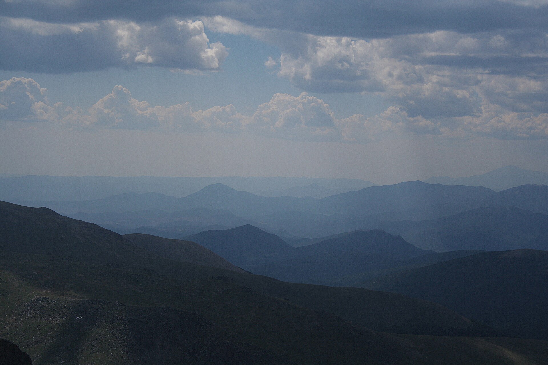
Photo credits: Mount Bierstadt seen from Guanella Pass, July 2016 by Thomson200 (CC0); The Sawtooth and Mount Bierstadt – panoramio by Thomson M (CC BY 3.0); Mount Bierstadt and Abyss Lake Scenic Area, Colorado, US by Clyde Charles Brown (CC BY-SA 4.0); The Sawtooth and Mount Bierstadt – panoramio (1) by Thomson M (CC BY 3.0); Bierstadt and sawtooth by Adam Ginsburg (CC BY 2.5); Marmot on Mt. Bierstadt by Paelias (CC BY-SA 4.0); Marmotmtn by Adam Ginsburg (CC BY-SA 2.5); Surreal view [view from the summit of Mount Bierstadt] by Adam Ginsburg (CC BY-SA 2.5); Shaded mountains [view from the summit of Mount Bierstadt] by Adam Ginsburg (CC BY-SA 2.5). Images via Wikimedia Commons.
News & Events
Mount Bierstadt is best climbed from July through September; the Forest Service says the area usually isn’t snow-free until late June or early July. The Pike-San Isabel National Forest lists a mud-season closure on Trail #711 from April 1 to June 15 to protect the tundra. In winter the climb becomes a serious, avalanche-aware mountaineering outing. Check current conditions at fs.usda.gov.
Frequently Asked Questions
How long is the Mount Bierstadt hike?
The Forest Service lists Mount Bierstadt Trail #711 at 3.6 miles one way, so plan on roughly 7 to 7.5 miles round trip with about 2,850 feet of elevation gain. Most hikers take 5 to 8 hours.
Is Mount Bierstadt a good first fourteener?
Yes. It’s one of the most popular first fourteeners in Colorado thanks to a well-built trail, a short drive from Denver and only a brief Class 2 boulder section near the summit. Altitude and weather are the real challenges, so start early and turn back if storms build.
Do you need a permit to hike Mount Bierstadt?
A free, self-issued wilderness permit is required, available at the trailhead. There is no fee to hike, but parking is allowed only in the designated lots at Guanella Pass, and roadside parking is prohibited.
When is the best time to climb Mount Bierstadt?
July through September offers the most snow-free conditions. Start at or before sunrise, because thunderstorms typically build by early afternoon. The Pike-San Isabel National Forest lists a mud-season trail closure from April 1 to June 15.
What is near Mount Bierstadt?
The trailhead sits at the top of Guanella Pass, between Georgetown and Grant. The Mount Blue Sky Scenic Byway climbs the neighboring peak, and the Georgetown Loop Railroad runs below in summer.
The Mount Bierstadt Trail starts at the Bierstadt Trailhead on Guanella Pass Road (County Road 381), about 11 miles south of Georgetown, CO 80444. Contact the Clear Creek Ranger District at 970-295-6600 or visit fs.usda.gov.