
Pikes Peak Highway
The Pikes Peak Highway is a 19-mile toll road that climbs from Cascade to the 14,115-foot summit of Pikes Peak. Hairpin switchbacks, alpine lakes and views across the Front Range make it one of the most famous scenic drives in America.
Pikes Peak Highway in Cascade, CO
Colorado Springs promoter Spencer Penrose built the road as the Pikes Peak Auto Highway, opening it in 1915, and the next year he launched the Pikes Peak International Hill Climb, the “Race to the Clouds” that still runs every June. Today the City of Colorado Springs operates the highway as part of Pikes Peak – America’s Mountain, and the road is fully paved to the top. Along the way it passes Crystal Creek Reservoir, the Halfway Picnic Grounds, Glen Cove and the boulder-strewn Devils Playground before the last switchbacks to the summit. The view from the top is the one that inspired Katharine Lee Bates to write “America the Beautiful” in 1893. At the summit, the Pikes Peak Summit Visitor Center serves the famous high-altitude donuts and has exhibits on the mountain’s history.
Plan on two to three hours for the round trip, or longer with stops. From October 1 to the Thursday before Memorial Day, uphill gates open at 9 a.m., the last uphill entry is 3 p.m., the summit closes at 4 p.m. and downhill gates close at 5 p.m. From late May through September the gates open at 7:30 a.m., and a $2 timed-entry permit is required. Through November 30, tolls are $18 per adult, $8 per child ages 6–15 or $65 for a carload of up to five. Prices drop December 1. The highway is open year-round, weather permitting, but it’s closed on Thanksgiving and Christmas, and snow or wind can close the upper miles at any time, so call 719-385-7325 for road conditions before you go. On the way down, use low gear, because rangers check brake temperatures at mile 13.
Photo Gallery
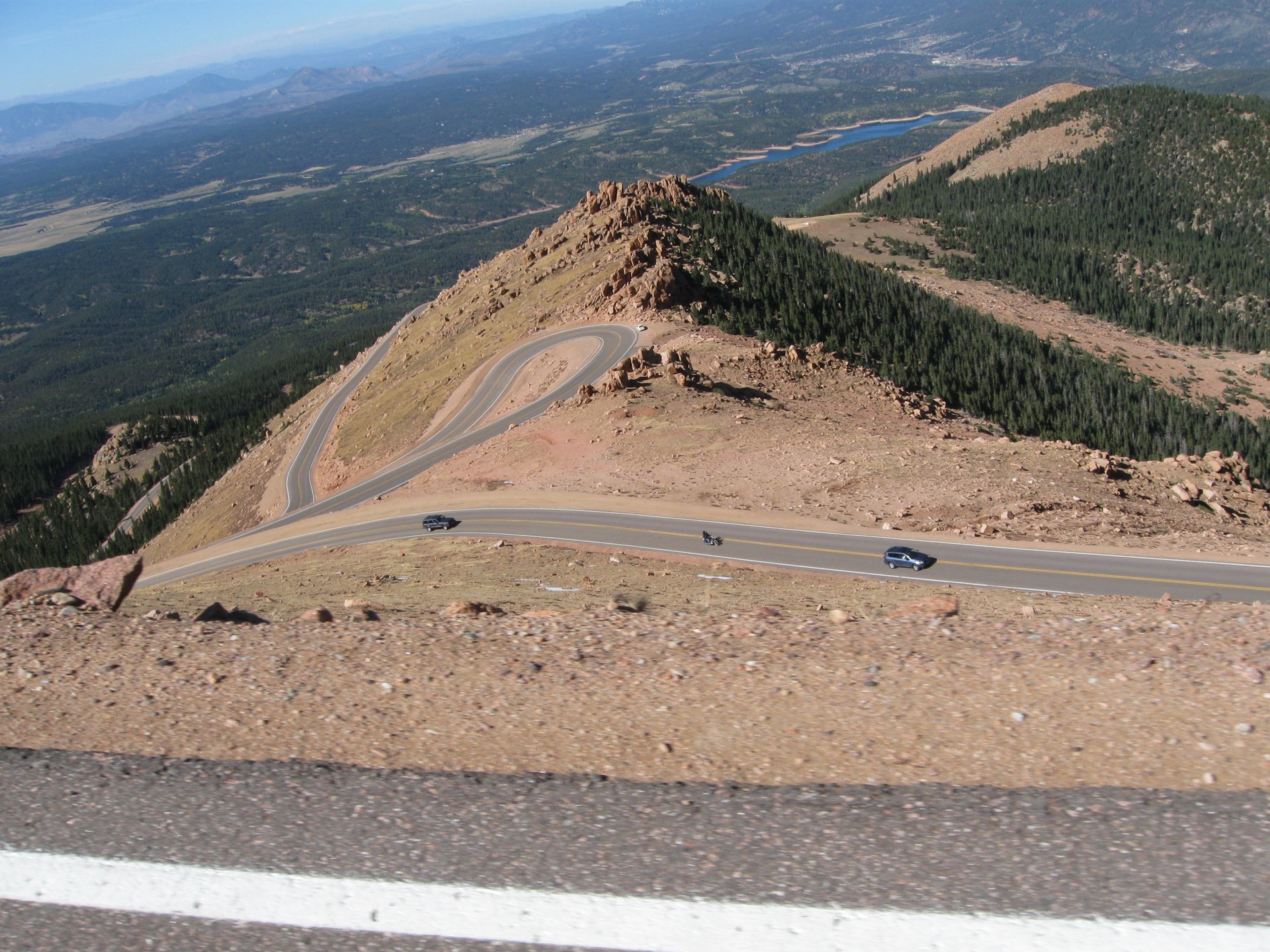
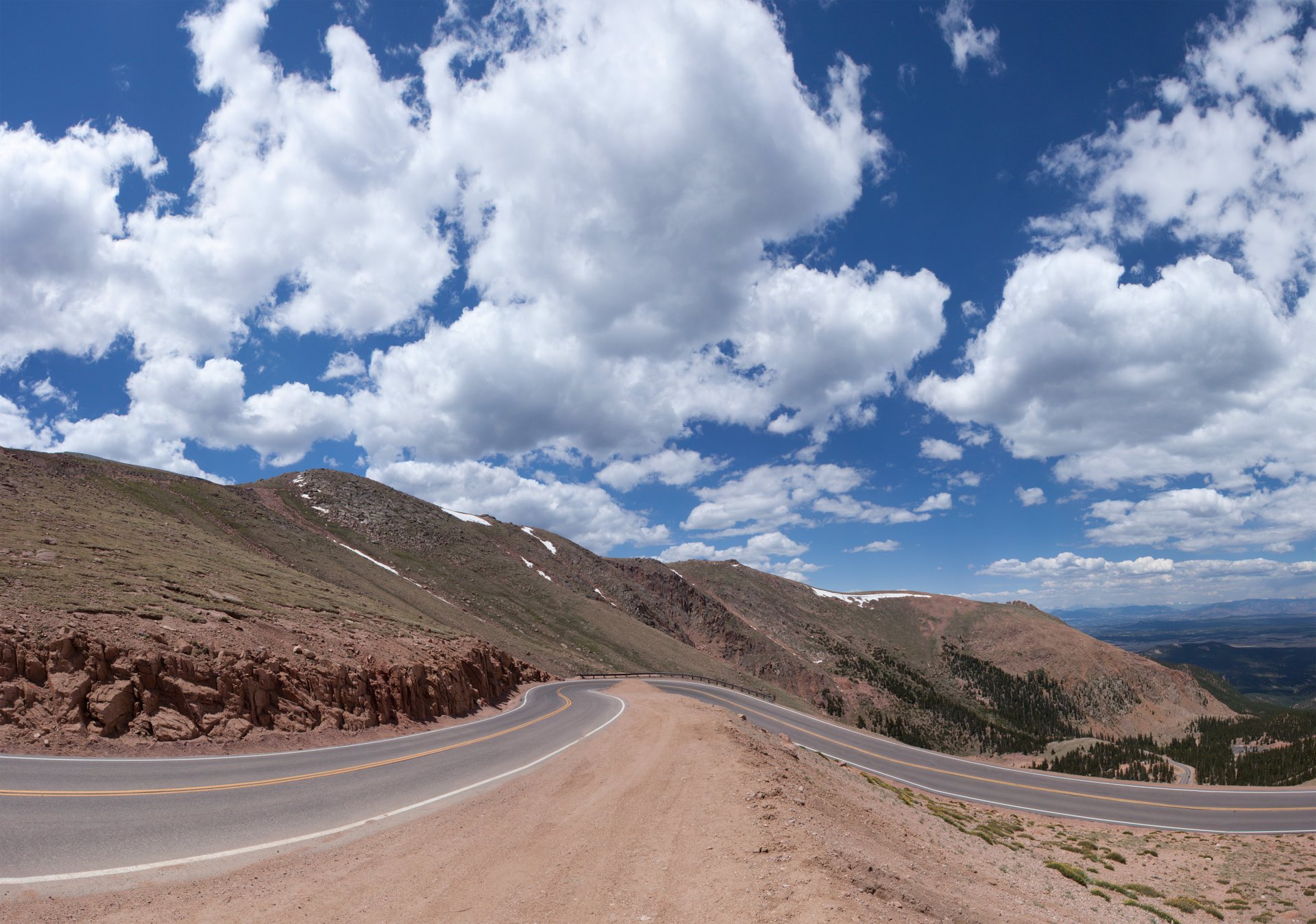
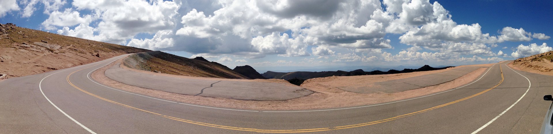
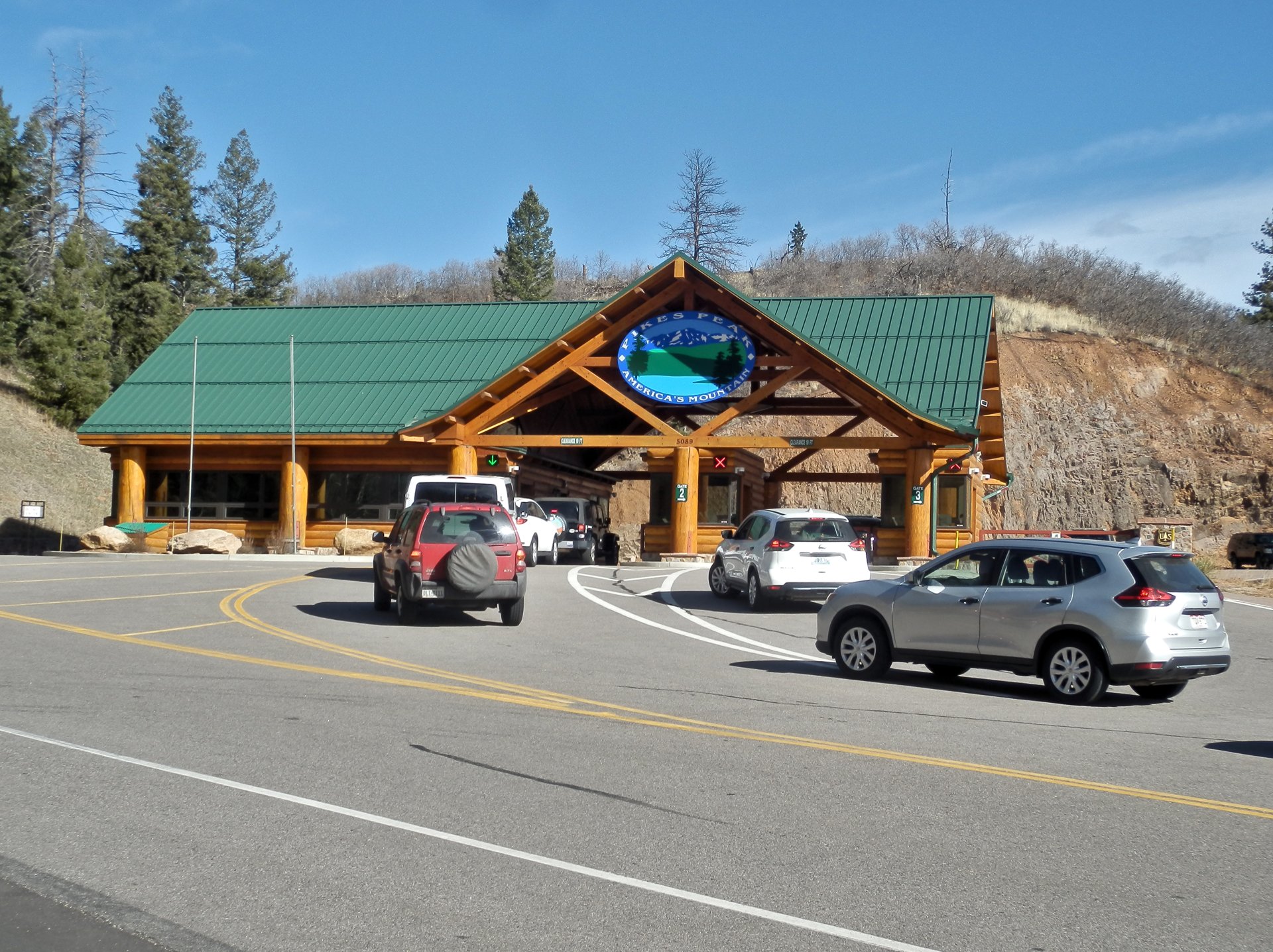
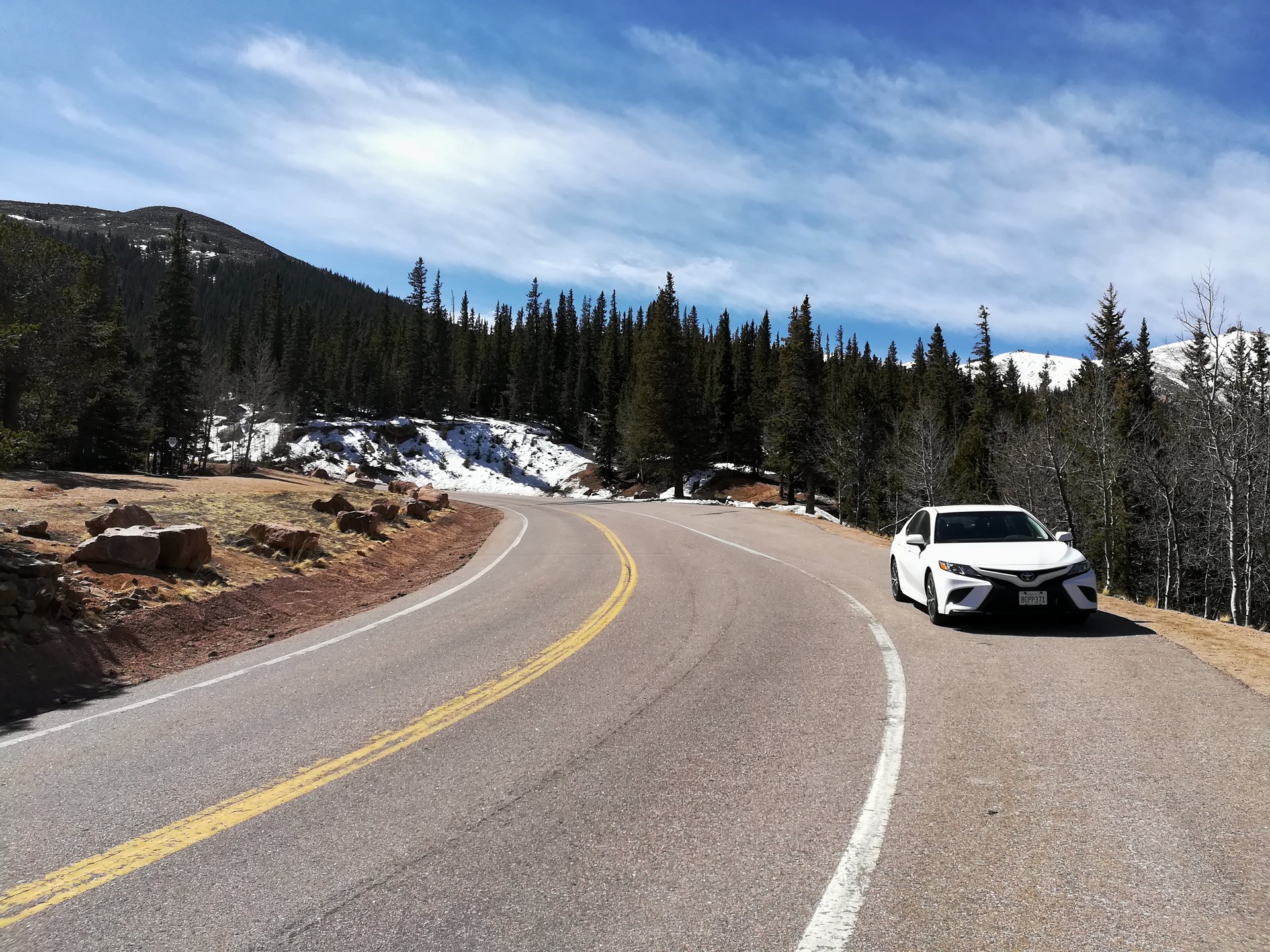
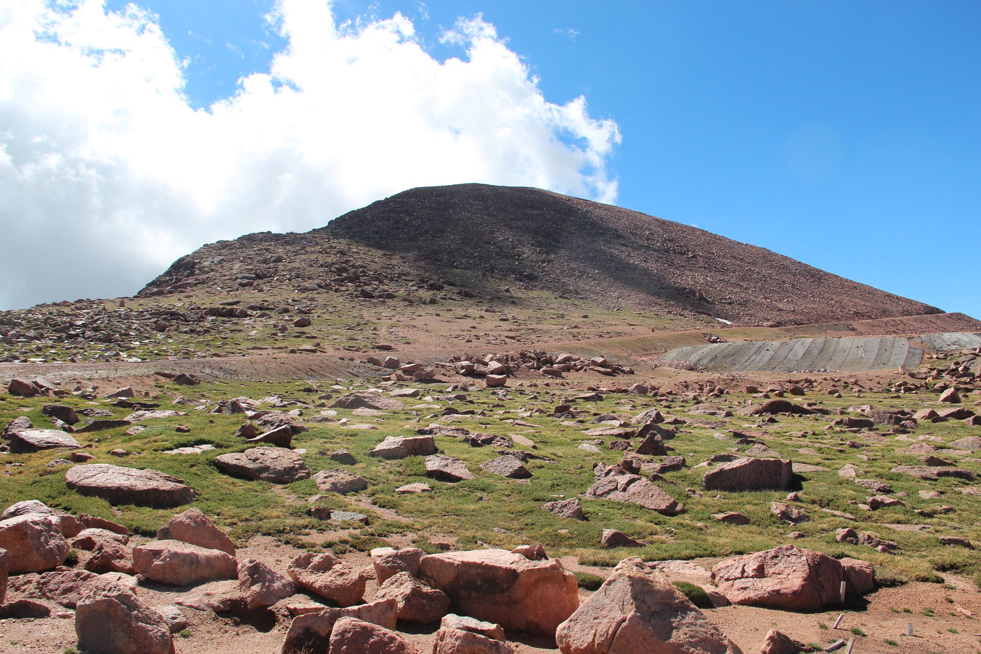
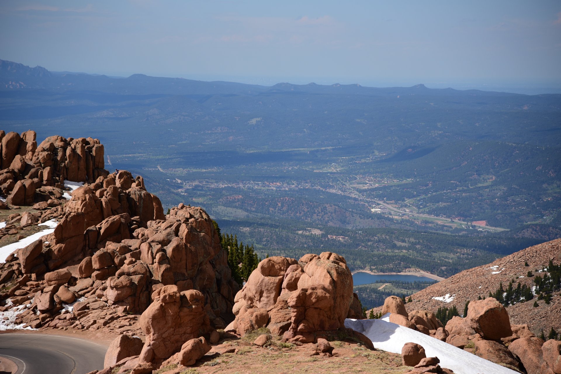
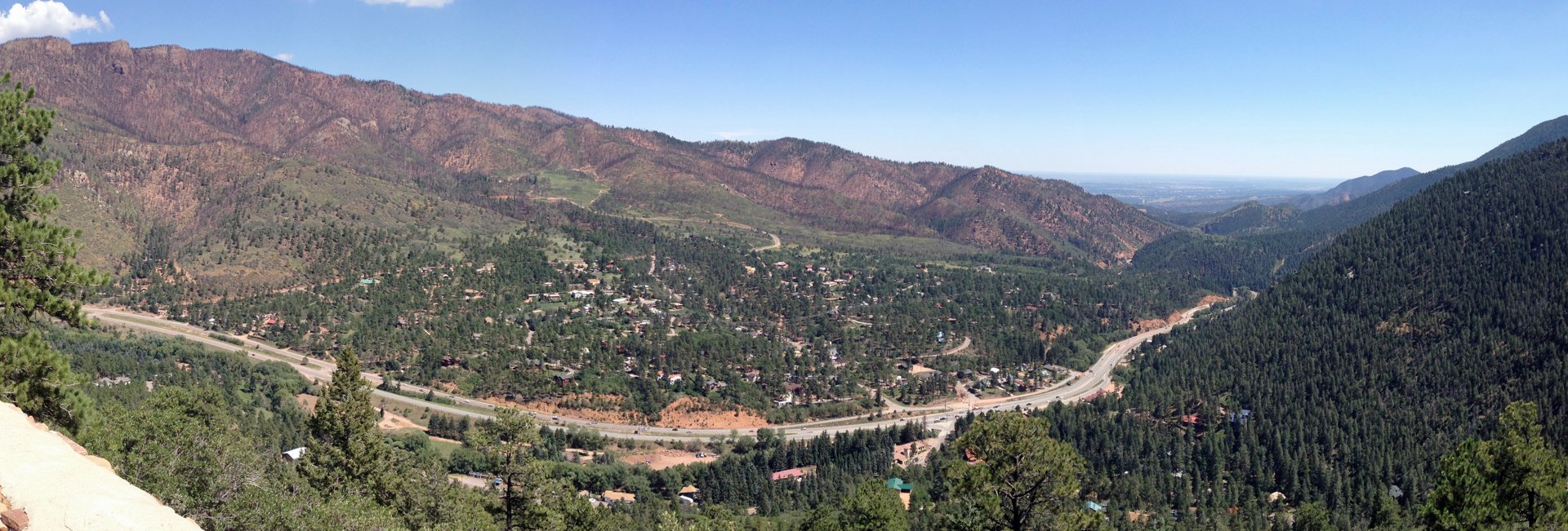
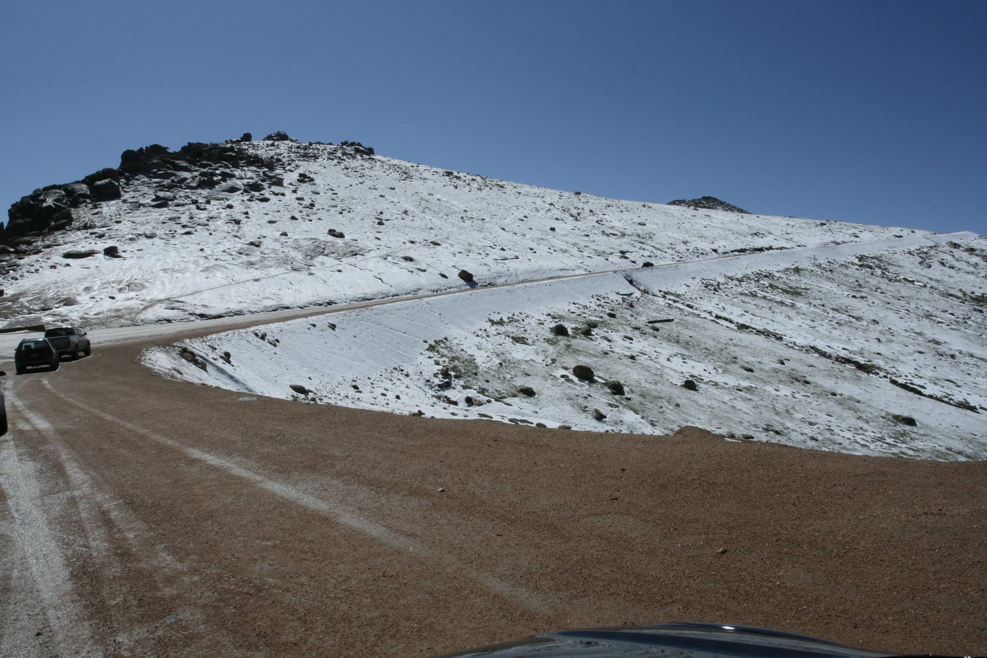
Photo credits: Pikes Peak Highway by DrunkDriver (CC BY-SA 3.0); Pikes Peak Highway (3) (5911317045) by Alan Stark (CC BY-SA 2.0); Pikes Peak Highway nearing summit by Fredlyfish4 (CC BY-SA 3.0); Pikes Peak Entrance by Alexander Migl (CC BY-SA 4.0); Pikes Peak Highway IMG 20180416 104300 by Alexander Migl (CC BY-SA 4.0); Pikes Peak Summit viewed from Pikes Peak Highway, July 2016 by Thomson200 (CC0); Colorado Color- Pikes Peak (2707805) by U.S. Air Force / Staff Sgt. Amber Grimm (Public domain); Cascade CO from Pikes Peak Highway by Fredlyfish4 (CC BY-SA 3.0); To the Summitt (3793860070) by Darin House (CC BY 2.0). Images via Wikimedia Commons.
News & Events
Check current road conditions, hours, toll rates and Hill Climb dates on the official Pikes Peak – America’s Mountain site from the City of Colorado Springs.
Frequently Asked Questions
What is there to do on the Pikes Peak Highway?
- Summit Pikes Peak: Drive to 14,115 feet and look out across the Front Range and the plains.
- Summit Visitor Center: Try the famous high-altitude donuts and learn the mountain’s history.
- Crystal Creek Reservoir: Stop for a lakeside picnic and mountain reflections near the bottom of the climb.
- Devils Playground: Walk among granite boulders above the tree line at mile 16.
- Wildlife watching: Look for bighorn sheep, mule deer, marmots and mountain goats.
What is nearby the Pikes Peak Highway?
- Broadmoor Manitou and Pikes Peak Cog Railway: Ride the rails to the summit from Manitou Springs instead of driving.
- Garden of the Gods: Towering red rock formations about 20 minutes east.
- Cave of the Winds Mountain Park: Cave tours and thrill rides above Manitou Springs.
- Manitou Cliff Dwellings: Ancestral Puebloan-style cliff dwellings just off U.S. 24.
- Manitou Springs: A historic mineral springs town for dinner after the drive.
How long is the Pikes Peak Highway?
The Pikes Peak Highway runs 19 miles from the tollgate near Cascade to the 14,115-foot summit. It opened in 1915, and the City of Colorado Springs suggests allowing two to three hours for the round-trip drive and three to four hours with stops.
When is the Pikes Peak Highway open?
The highway is open year-round, weather permitting. From October 1 to the Thursday before Memorial Day, uphill gates open at 9 a.m., the last uphill entry is 3 p.m., the summit closes at 4 p.m. and downhill gates close at 5 p.m. It’s closed on Thanksgiving and Christmas, and on Hill Climb day in June.
Are there any tips for driving the Pikes Peak Highway?
Fill your gas tank before you start, bring warm layers even in summer (it can be 30 degrees colder at the summit), and drink plenty of water to help with the altitude. Drive down in low gear and don’t ride your brakes. Call 719-385-7325 the morning of your trip, because weather can close the upper road quickly, especially from fall through spring.
The Pikes Peak Highway tollgate is located at 5089 Pikes Peak Highway, Cascade, CO 80809. Call 719-385-7325 or visit coloradosprings.gov for conditions, hours and tickets.