
Longs Peak
Longs Peak is the king of Rocky Mountain National Park. At 14,259 feet, the flat-topped giant rises above every other summit in the park and can be seen from almost anywhere in it, as well as from towns across northern Colorado. It is the northernmost fourteener in the Rockies, the highest point in Boulder County and the mountain pictured on Colorado’s state quarter.
Longs Peak in Estes Park, CO
The peak is named for explorer Stephen H. Long, whose expedition saw it from the plains in 1820. Its most famous feature is the Diamond, the huge sheer east face that drops toward Chasm Lake and draws big-wall climbers from around the world. From Estes Park, look for Longs and its slightly lower neighbor, Mount Meeker, standing side by side. The mountain looks different from every side, and its changing weather gives it a new mood every day.
Each summer, when conditions allow, thousands of people try the Keyhole Route to the summit. The National Park Service is blunt about it: the Keyhole Route is not a hike. It is a 15-mile round-trip climb that takes 10 to 15 hours, crosses narrow ledges and sheer rock faces marked by red and yellow bull’s-eyes, and passes sections called the Ledges, the Trough, the Narrows and the Homestretch, where an unroped fall would likely be fatal. Rangers suggest starting no later than 3 a.m. The route is most often free of snow and ice only from mid-July to mid-September, and it can see winter conditions at any time.
You don’t have to climb Longs to love it. Some of the best views come from easy spots: Lily Lake on Highway 7, the trail to Dream Lake, the overlooks of Trail Ridge Road and the Peak to Peak Scenic Byway. The Longs Peak Trailhead is off Highway 7, south of Estes Park. Insider tip: catch sunrise on the east face, when the Diamond glows orange, then warm up with breakfast in Estes Park.
Photo Gallery
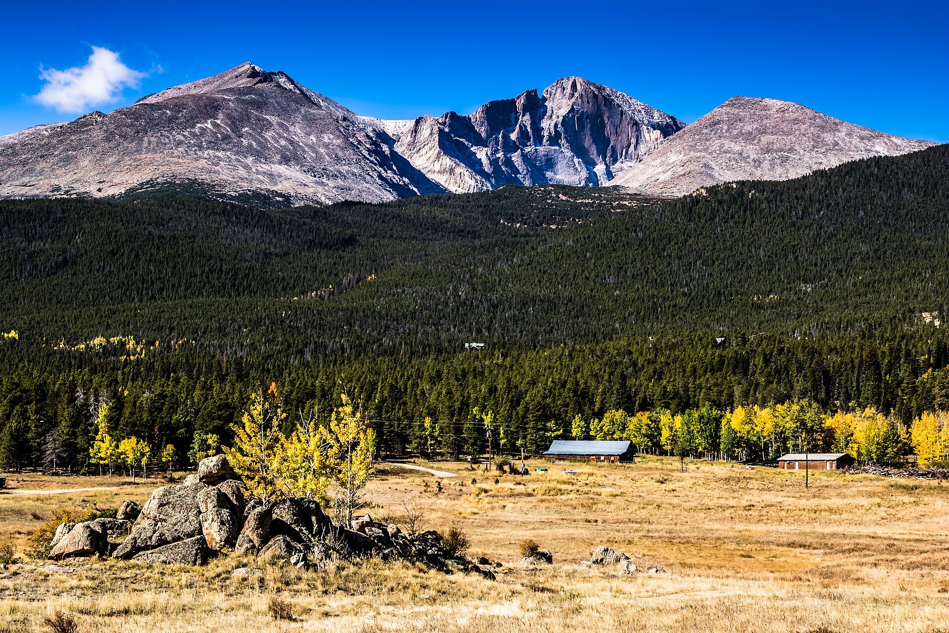
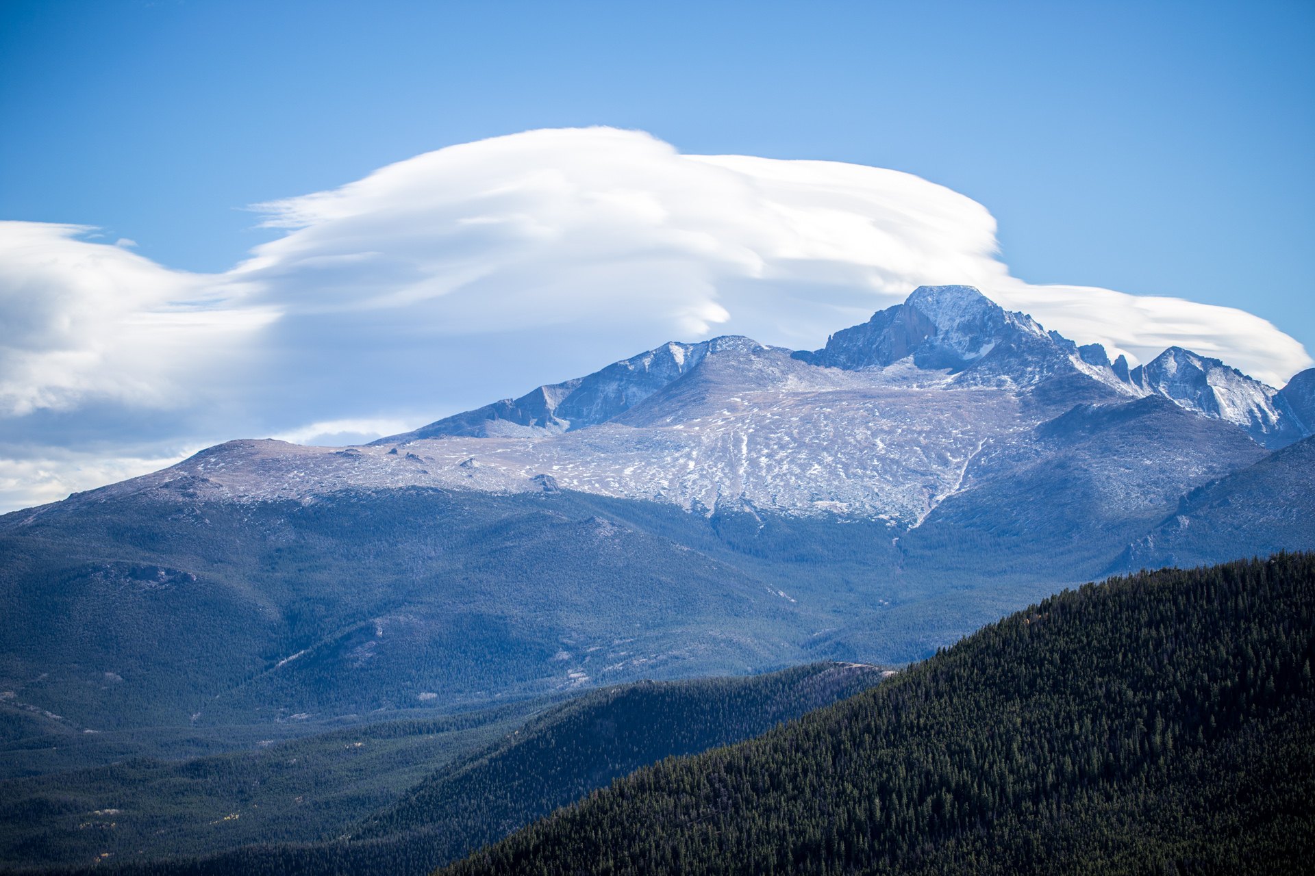
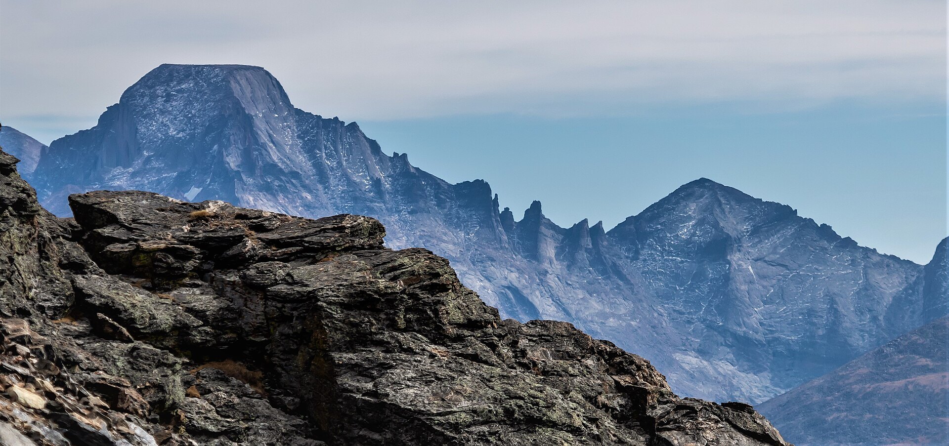
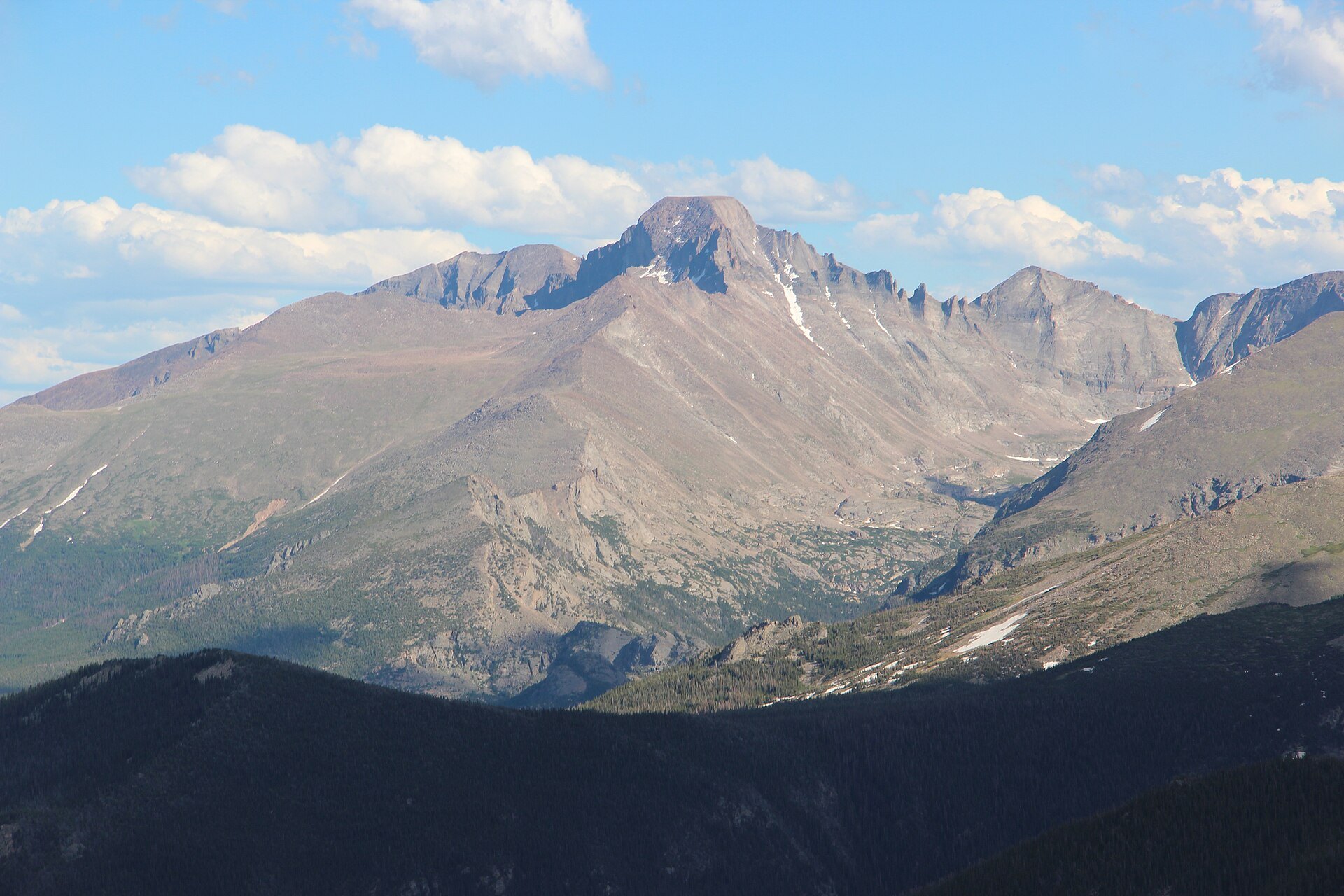
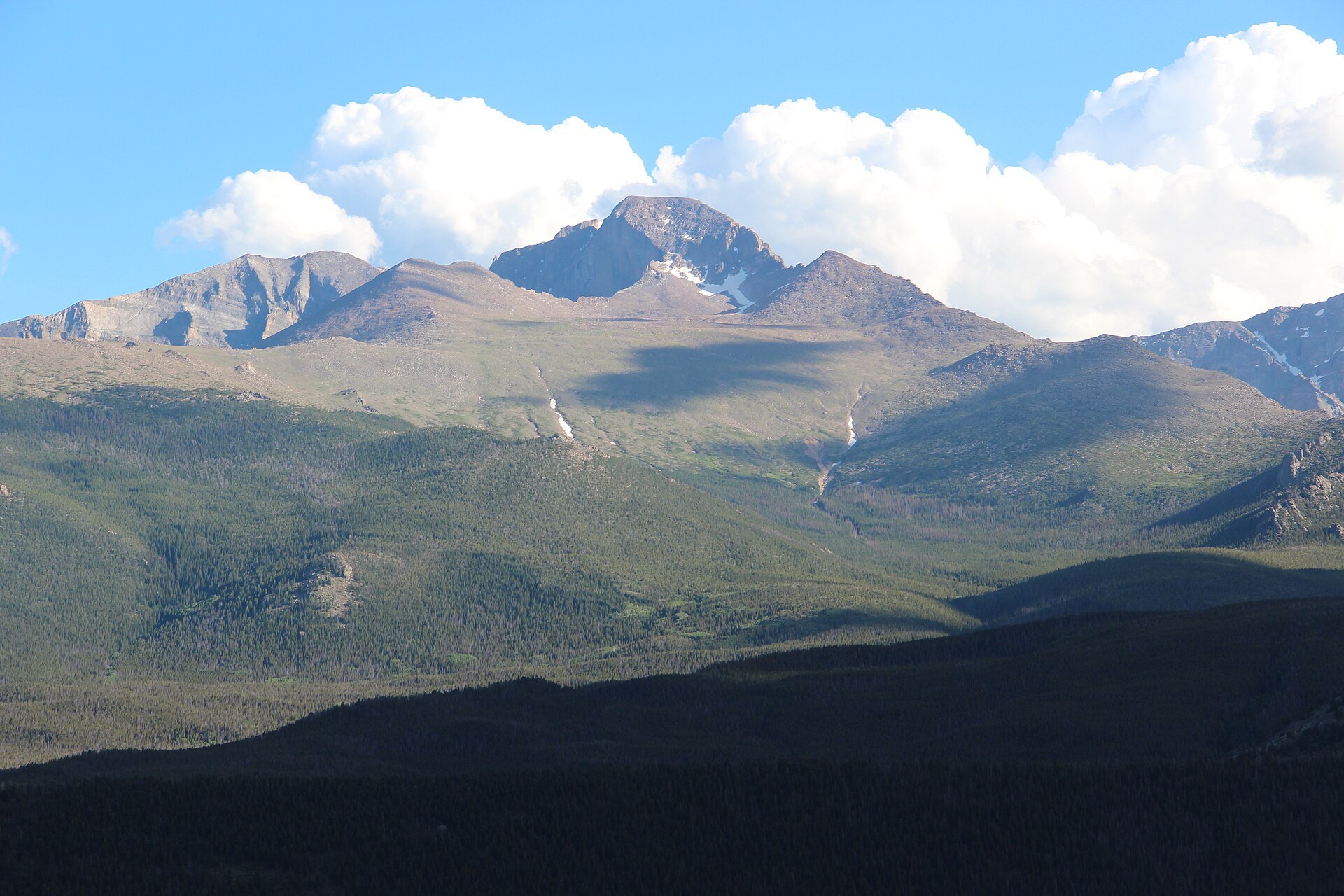
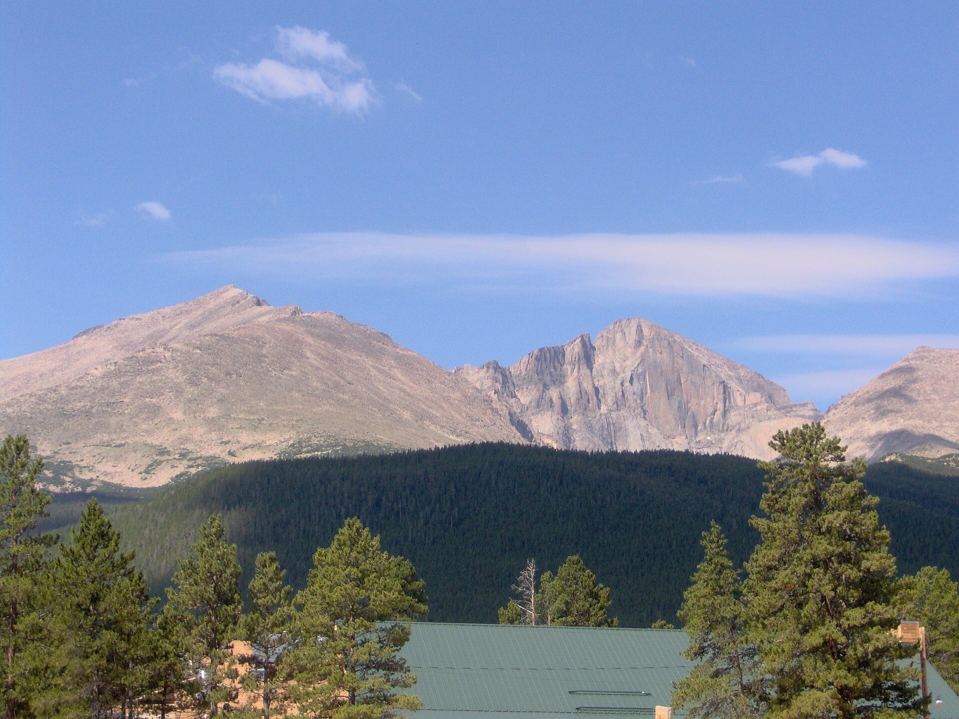
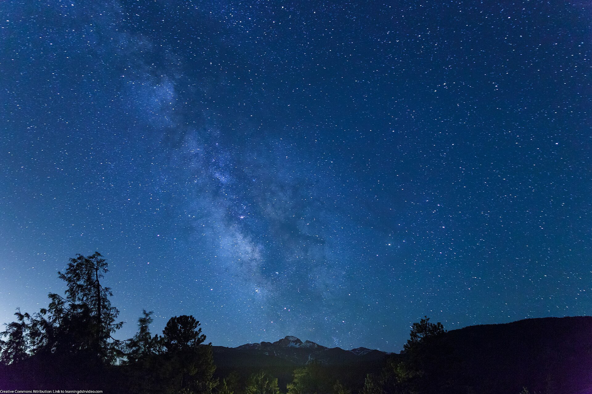
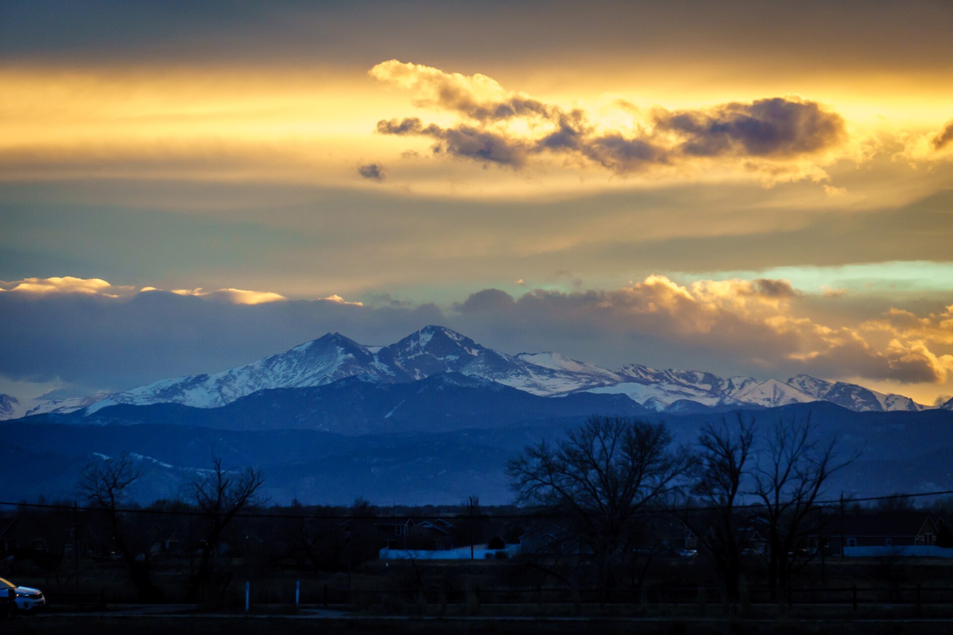
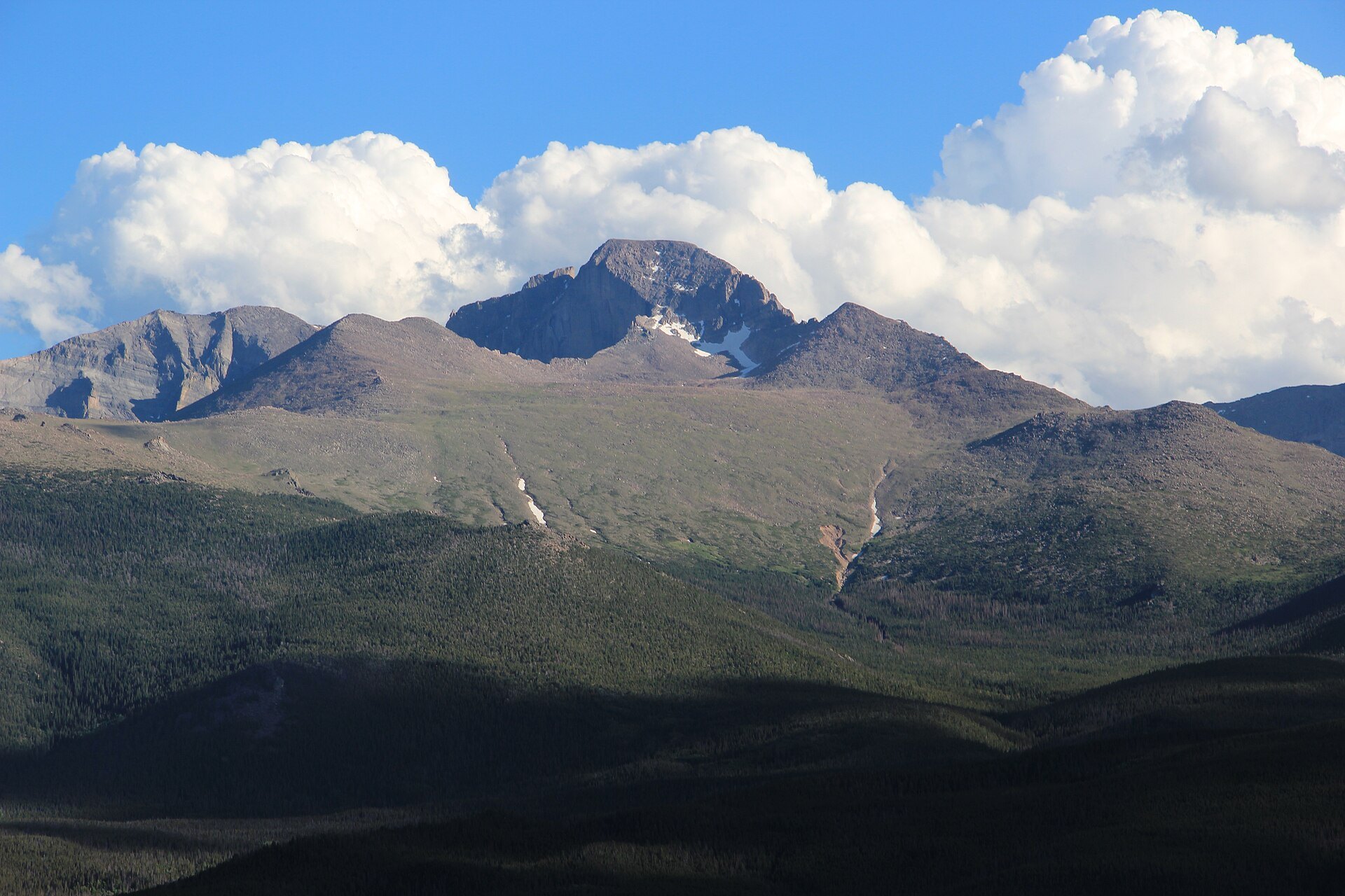
Photo credits: Meeker, Longs, Lady Washington by mark byzewski (CC BY 2.0); Longs Peak with Lenticular Clouds, Rocky Mountain National Park by Anne Dirkse (CC BY-SA 4.0); Longs Peak and Pagoda Mountain by mark byzewski (CC BY 2.0); Longs Peak viewed from RMNP, July 2016 2 by Thomson200 (CC0); Longs Peak – panoramio by Thomson M (CC BY 3.0); Longs Peak and Mount Meeker by Nyttend (Public domain); Milky Way over Longs Peak, Colorado – 10 June 2013 [Milky Way over Longs Peak] by Dave Dugdale (CC BY-SA 2.0); Long's Peak Sunset [Longs Peak at sunset, seen from Windsor] by Peter Romero (CC BY-SA 4.0); Longs Peak viewed from RMNP, July 2016 by Thomson200 (CC0). Images via Wikimedia Commons.
News & Events
Winter has arrived on Longs Peak. The park’s Nov. 20, 2026, conditions report says winter conditions will likely last into June 2027, and any trip beyond the trailhead calls for winter gear, route-finding skills and avalanche awareness. Expect snow, ice, extreme cold and high winds; traction devices and an ice axe are recommended for alpine travel. Check the latest report and webcam at nps.gov/romo or call (970) 586-1206.
Frequently Asked Questions
How tall is Longs Peak?
The National Park Service lists Longs Peak at 14,259 feet. It is the highest peak in Rocky Mountain National Park and the northernmost fourteener in the Rocky Mountains.
How long does it take to climb Longs Peak?
The Keyhole Route is about 15 miles round trip and takes 10 to 15 hours on average. The park recommends starting by 3 a.m. so you are off the summit early, before afternoon storms.
Is Longs Peak hard to climb?
Yes. The NPS stresses that the Keyhole Route is a climb, not a hike, with exposed ledges, loose rock and steep cliffs. The hardest part is the final 1.5 miles from the Keyhole to the summit. It requires good fitness, scrambling skill and judgment.
When is the best time to climb Longs Peak?
The route is most often snow- and ice-free from mid-July through mid-September, but weather is unpredictable. For most of the year the mountain is in winter conditions that require mountaineering experience and equipment.
Where can you see Longs Peak without climbing it?
Great viewpoints include Lily Lake, Dream Lake, Trail Ridge Road and the Peak to Peak Scenic Byway. On clear days it is visible from Fort Collins, Boulder and Denver.
Longs Peak Trailhead, Longs Peak Road off Highway 7, Rocky Mountain National Park, near Estes Park, CO 80517. Park information: (970) 586-1206 or visit nps.gov/romo.