
Mount Elbert
Mount Elbert is the highest point in Colorado and the tallest peak in the entire Rocky Mountains, rising to 14,440 feet in the Sawatch Range about 12 miles southwest of Leadville. It is also the second-highest summit in the contiguous United States, and because its main trails are steady walk-ups with no technical climbing, it is one of the most popular fourteeners for first-time high-altitude hikers.
Mount Elbert in Leadville, CO
The mountain sits in the San Isabel National Forest in Lake County and is named for Samuel Hitt Elbert, a territorial governor of Colorado. H.W. Stuckle of the Hayden Survey made the first recorded ascent in 1874. Its neighbor to the north, Mount Massive, is only slightly shorter, and the two peaks have long shared a friendly rivalry. The view from the top takes in Twin Lakes, Turquoise Lake, the Arkansas River valley and dozens of other peaks.
Most hikers use the North Mount Elbert Trail, about 4.6 miles one way with roughly 4,500 feet of elevation gain. It starts near the Elbert Creek Campground off Halfmoon Road (Forest Service Road 110), a dirt road south of Leadville at about 10,000 feet. The South Mount Elbert Trail from the Twin Lakes side is about 5.5 miles one way with about 4,600 feet of gain, and the Black Cloud route is the longest and hardest option. Whichever way you go, the upper mountain is above tree line and fully exposed to the weather.
Photo Gallery
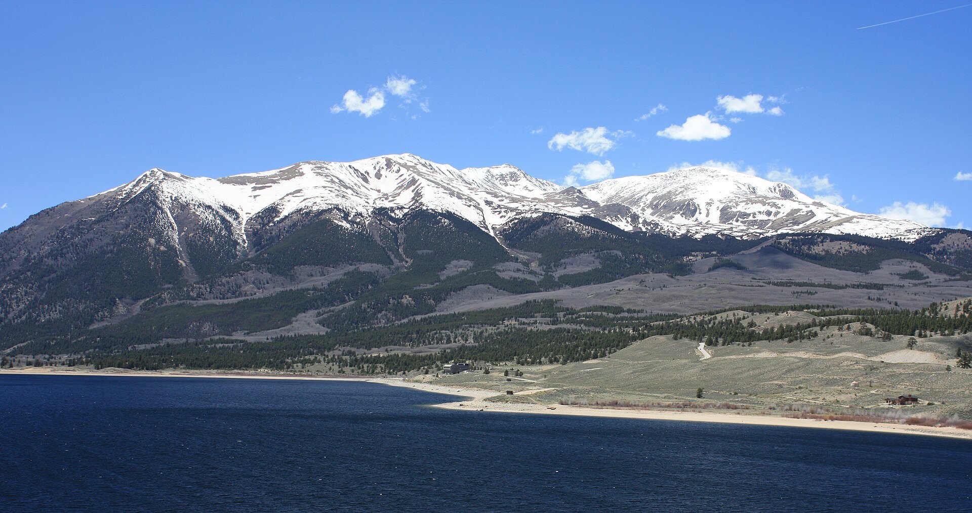
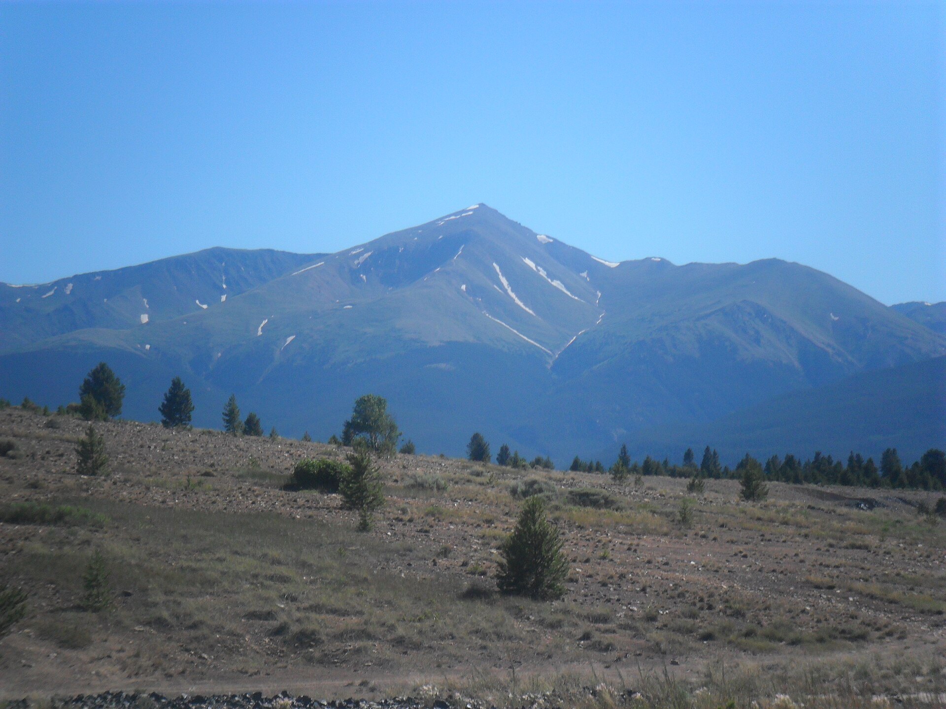
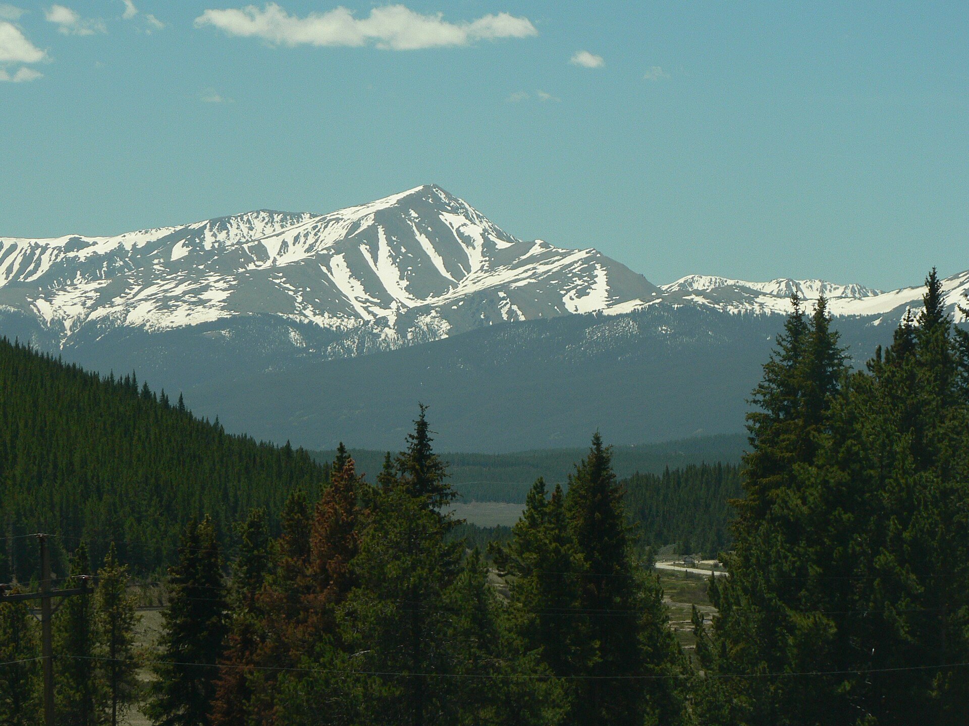
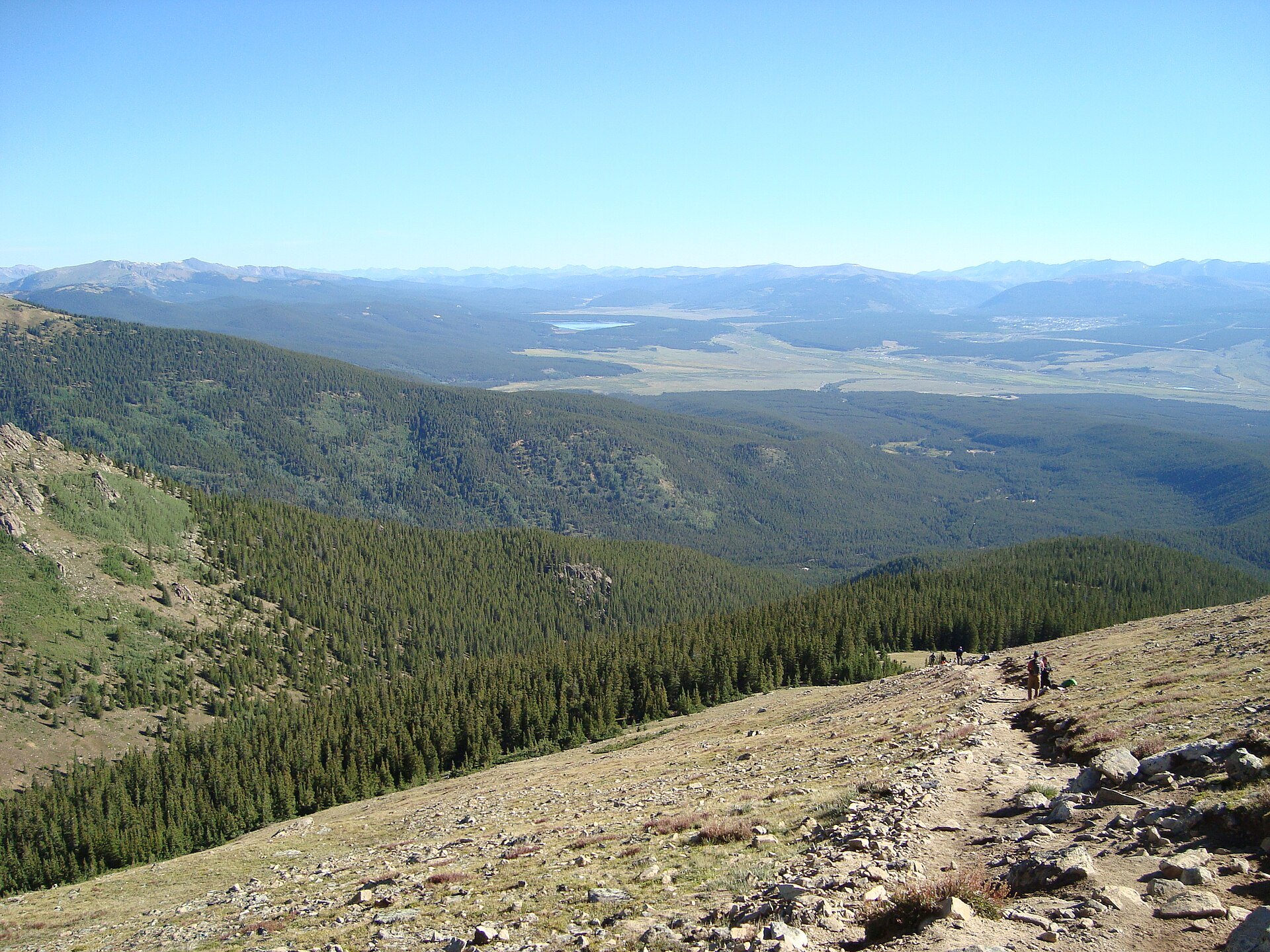
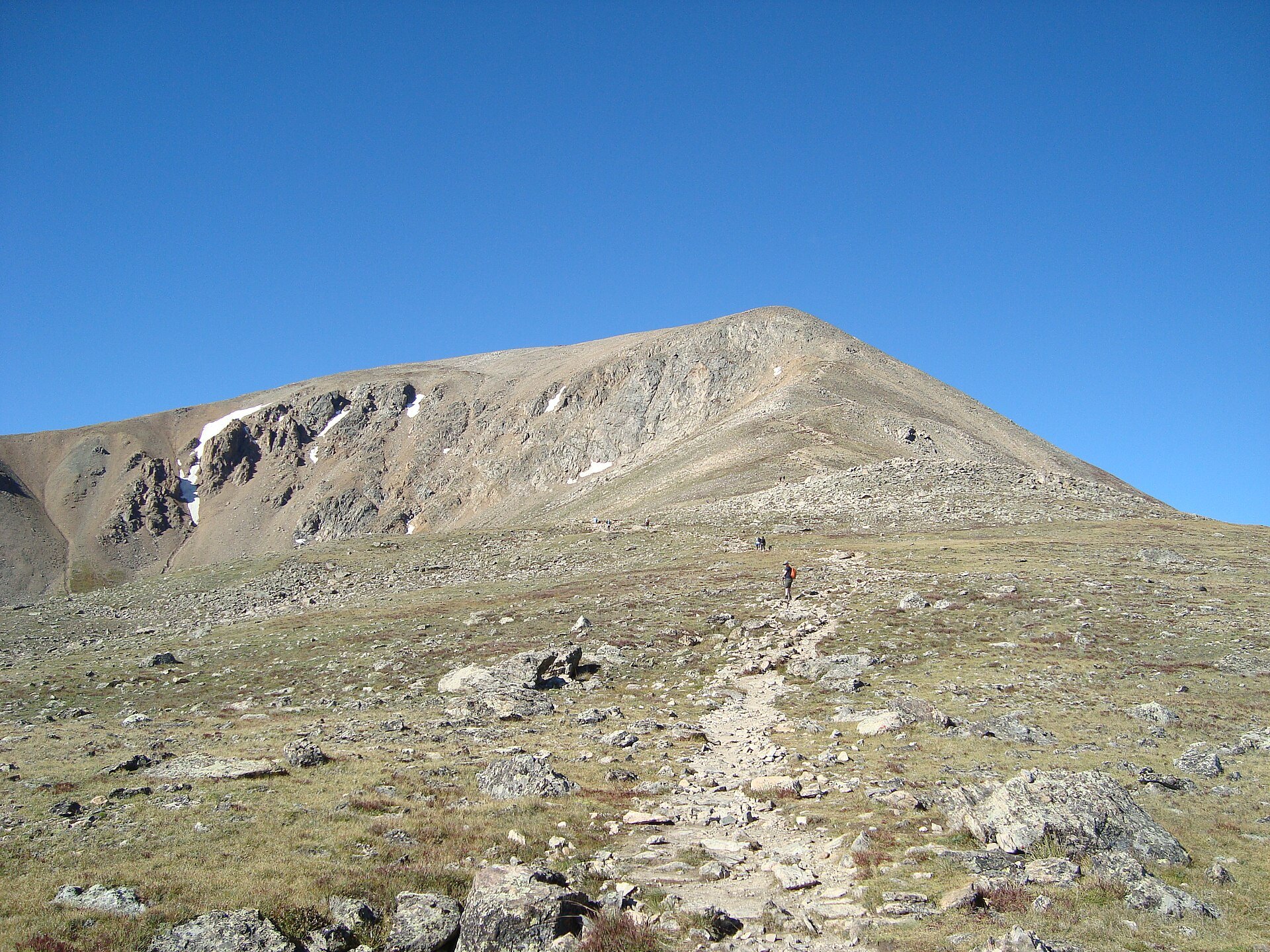
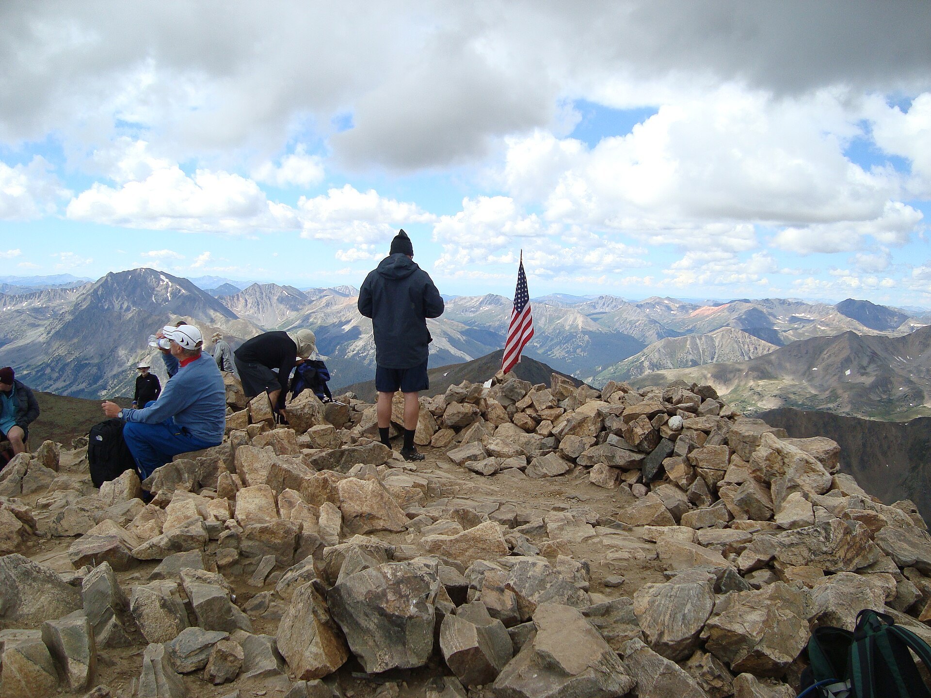
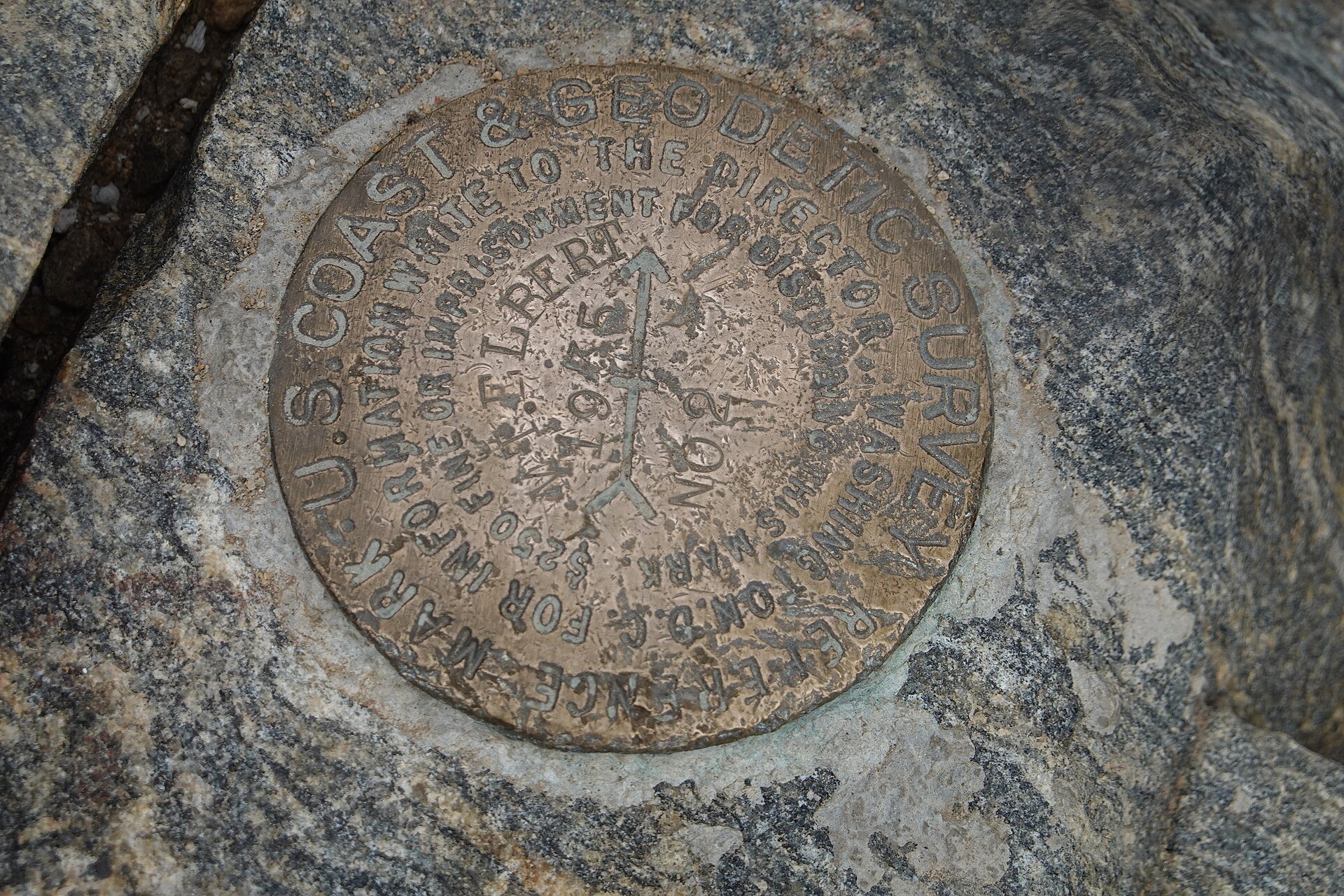
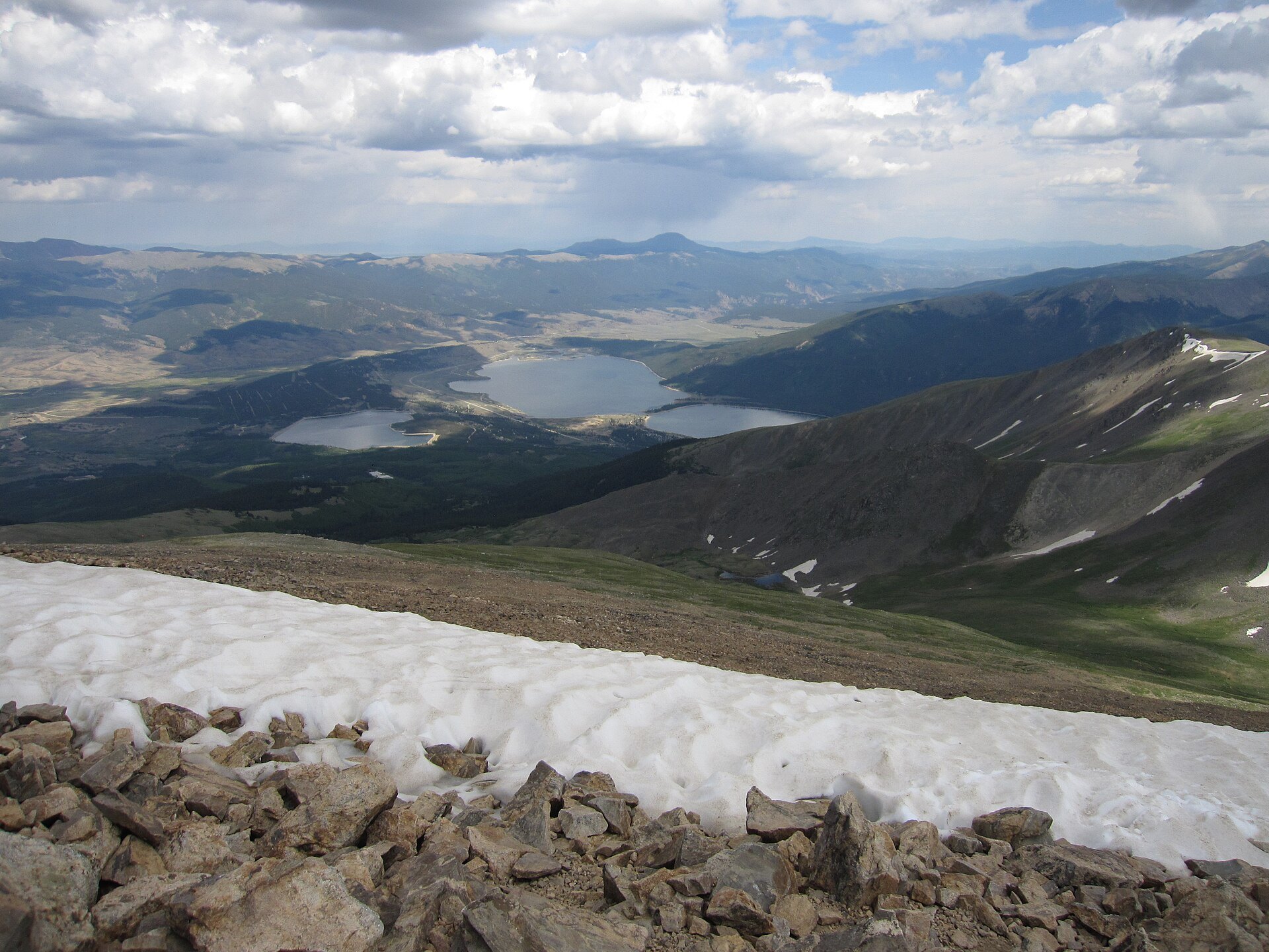
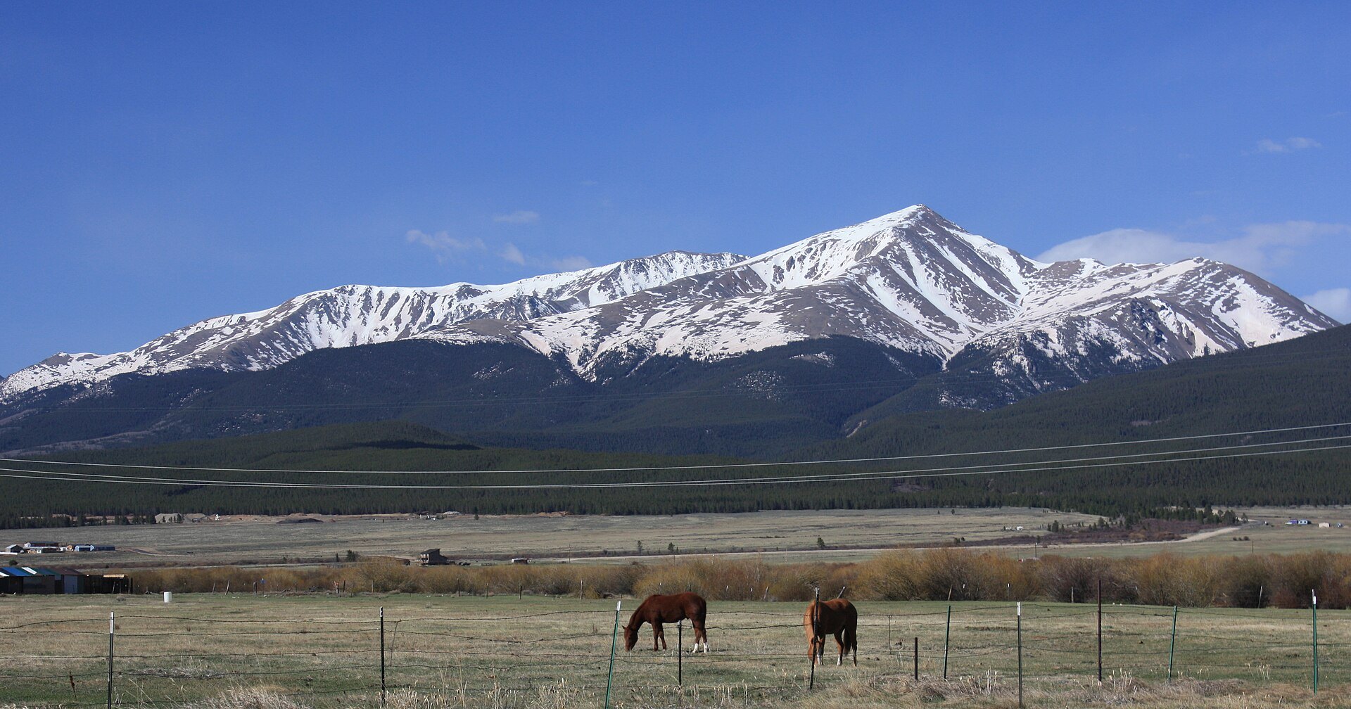
Photo credits: Mount Elbert from Twin Lakes by David Herrera (CC BY 2.0); Elbert by me (CC BY-SA 3.0); Mount Elbert June 2006 by Rick Kimpel (CC BY-SA 2.0); Mount Elbert Northeast Trail, above tree line by Pimlico27 (CC BY-SA 4.0); Mount Elbert Summit from the Northeast Trail by Pimlico27 (CC BY-SA 4.0); Mount Elbert Summit by Pimlico27 (CC BY-SA 4.0); Mount Elbert Survey marker by Khoshhat (CC BY-SA 4.0); Southward facing from summit of Mount Elbert overlooking Twin Lakes by Sailing Dutchman (CC BY-SA 3.0); Mount Elbert and horses by David Herrera (CC BY 2.0). Images via Wikimedia Commons.
News & Events
Fall snow has arrived on the high peaks, and the main summer hiking season on Mount Elbert is winding down. Halfmoon Road is not maintained in winter, and the Elbert Creek Campground is generally open May through September. Winter ascents are serious mountaineering trips that call for avalanche awareness and proper gear. Contact the Leadville Ranger District or visit fs.usda.gov for current conditions.
Frequently Asked Questions
What is there to do at Mount Elbert?
- Summit hike: Climb to 14,440 feet, the highest point in Colorado.
- North Elbert Trail: Take the most popular route from Halfmoon Road.
- South Elbert Trail: Start from the Twin Lakes side of the mountain.
- Camping: Stay at Elbert Creek Campground near the trailhead.
- Photography: Capture views of Twin Lakes and the Sawatch Range.
What is nearby Mount Elbert?
- National Mining Hall of Fame and Museum: Mining history in Leadville.
- Tabor Opera House: Leadville’s historic 1879 theater.
- Independence Pass: A scenic Continental Divide drive west of Twin Lakes.
- Mount Princeton Hot Springs Resort: A post-hike soak near Buena Vista.
- St. Elmo Ghost Town: A well-preserved mining town in Chalk Creek Canyon.
How much does it cost to hike Mount Elbert?
Hiking Mount Elbert is free. Camping at Elbert Creek Campground costs $26 per night per site, which includes two vehicles.
When can you hike Mount Elbert?
The trails are open 24 hours a day, but the best time to hike is July through September, when the trails are mostly snow-free. Halfmoon Road is not maintained in winter, and Elbert Creek Campground is generally open May through September.
Are there any tips for hiking Mount Elbert?
Start by 6 a.m. so you can reach the summit and get back below tree line before afternoon thunderstorms, which are common in summer. Spend a night or two at altitude first, drink plenty of water and turn around if you feel signs of altitude sickness. Pack layers, rain gear, sun protection and food, because temperatures at the top can be far colder than at the trailhead. Stay on the trail to protect the fragile alpine tundra.
The North Mount Elbert Trailhead is located off Halfmoon Road (Forest Service Road 110) near Leadville, CO 80461. Call the Leadville Ranger District at 719-486-0749 or visit fs.usda.gov to plan your visit.