
Mount of the Holy Cross
Mount of the Holy Cross is the 14,005-foot peak in the northern Sawatch Range whose northeast face holds a giant cross of snow, formed by a vertical couloir and a horizontal ledge. Hidden behind other mountains, it became a national sensation when photographer William Henry Jackson captured it in 1873.
Mount of the Holy Cross near Minturn, CO
For years the cross was more legend than fact, glimpsed by a few prospectors and rarely seen from any road. In 1873, Jackson, traveling with the Hayden Survey, climbed neighboring Notch Mountain and made the first photographs of the snow cross, and painter Thomas Moran later turned it into a famous canvas. The mountain became a pilgrimage site, and President Herbert Hoover designated it a national monument in 1929, a status it held until 1950. Today it sits in the Holy Cross Wilderness of White River National Forest and is the highest point in Eagle County.
The standard climb uses Mount of the Holy Cross Trail #2009 from the Half Moon Trailhead at the end of Tigiwon Road, 8 miles of rough dirt road off Highway 24 south of Minturn. The Forest Service calls it a very strenuous hike, with more than 8,000 vertical feet of total elevation change: up to Half Moon Pass, down to East Cross Creek, then up long talus slopes to the summit, and back the same way. Holy Cross is notorious for bad weather and route-finding mistakes, so start before dawn and have strong navigation skills. Camping along the route is limited to 10 designated sites near East Cross Creek.
For the view that made the mountain famous, hike the Notch Mountain Trail, which follows Fall Creek Trail #2001 for 2.1 miles, then climbs about 3 more miles of switchbacks to the stone Notch Mountain Shelter at about 13,077 feet, directly across from the cross. Insider tip: the cross fills best in early summer, after the road opens in late June. Base yourself in Minturn or Vail, and add Quandary Peak or Mount Elbert to your 14er list.
Photo Gallery
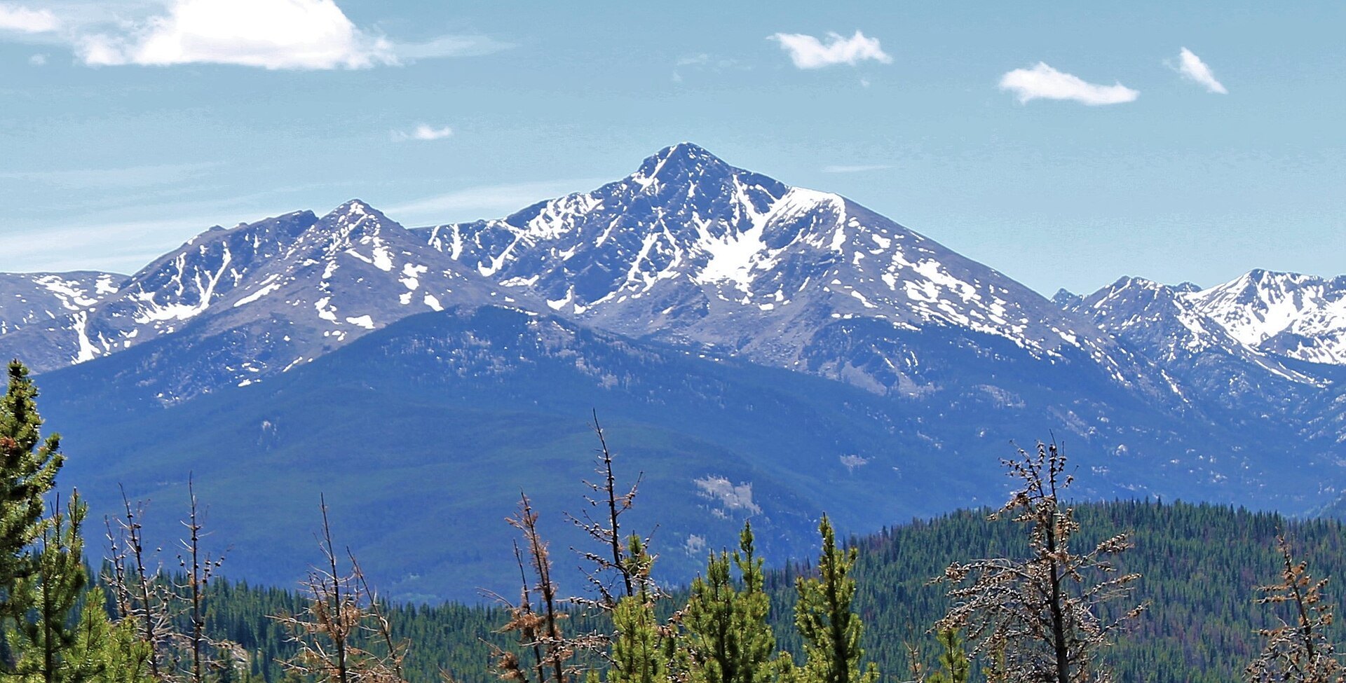
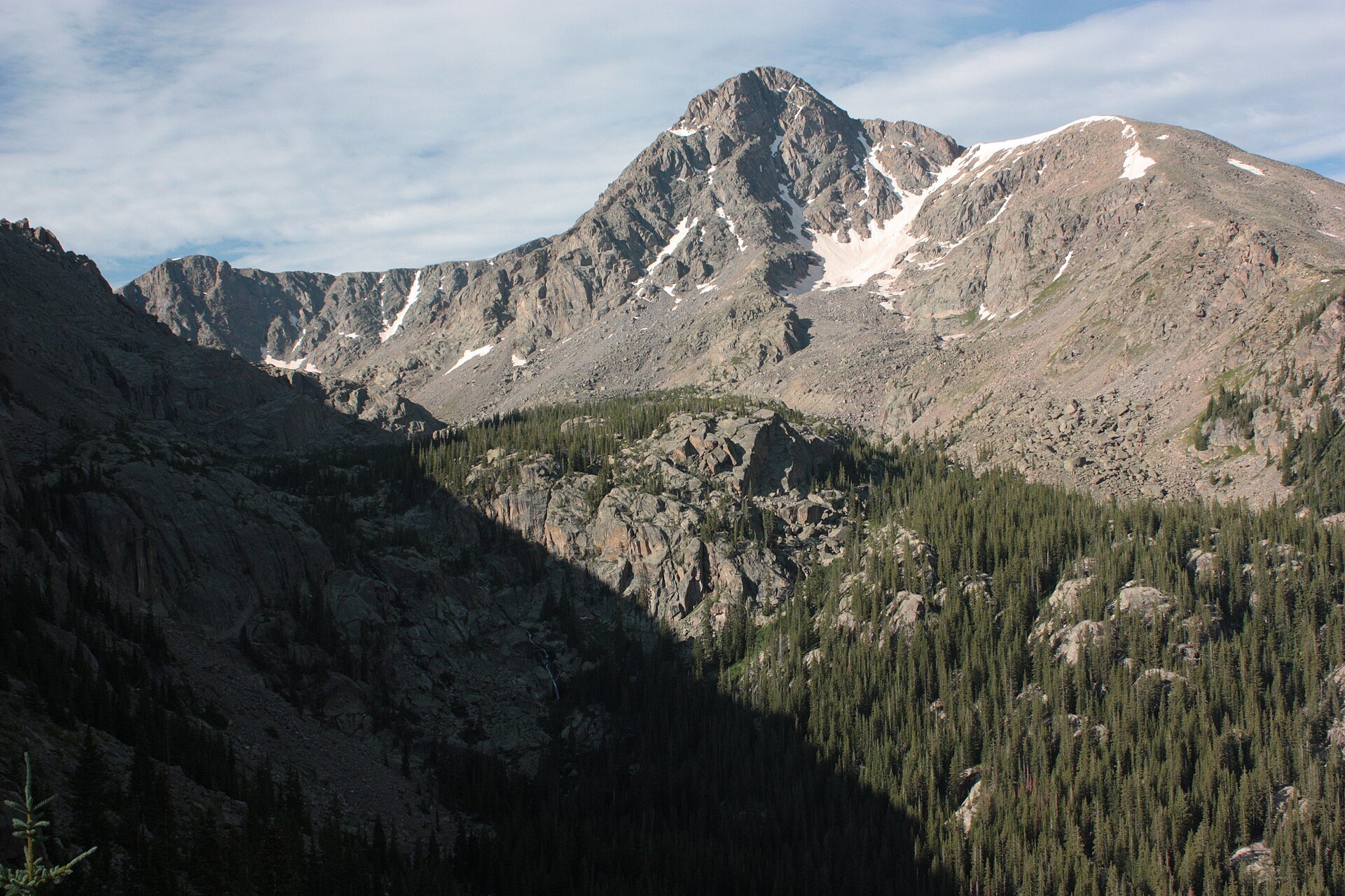
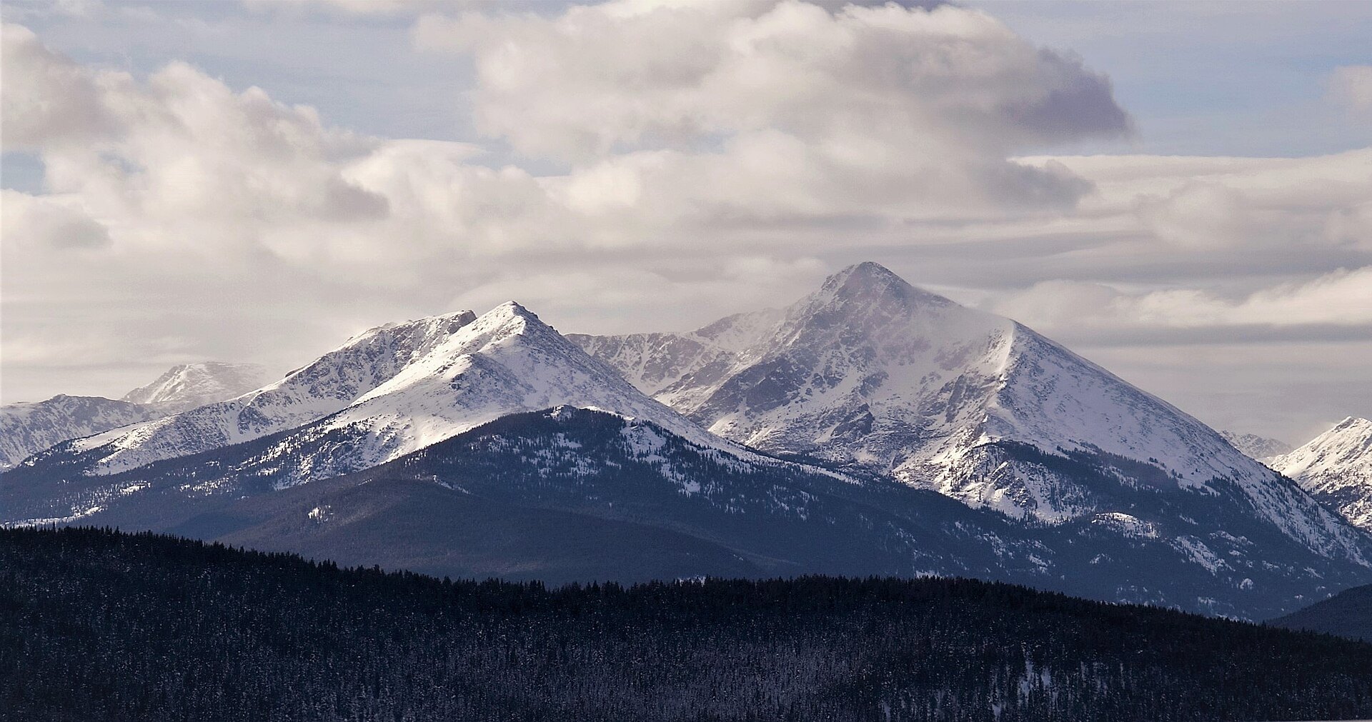
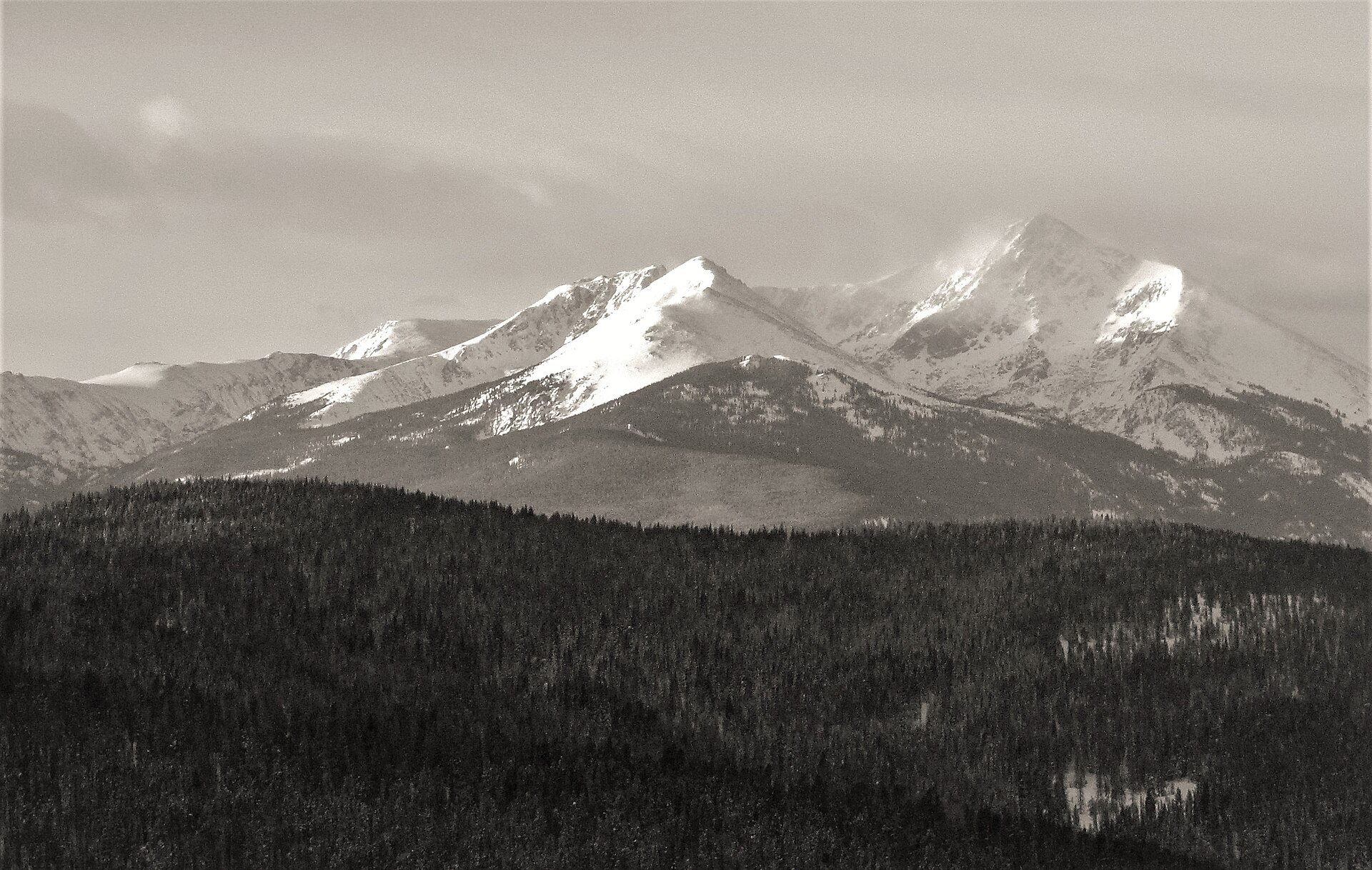
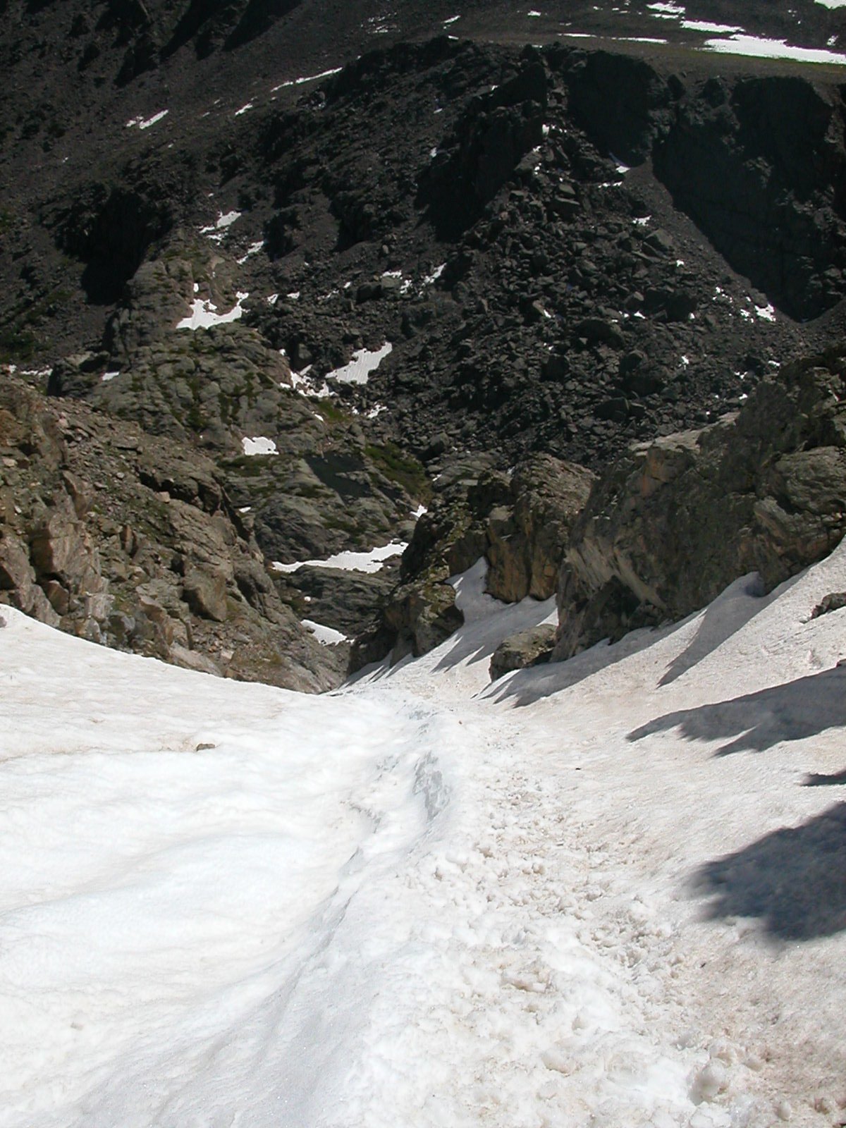
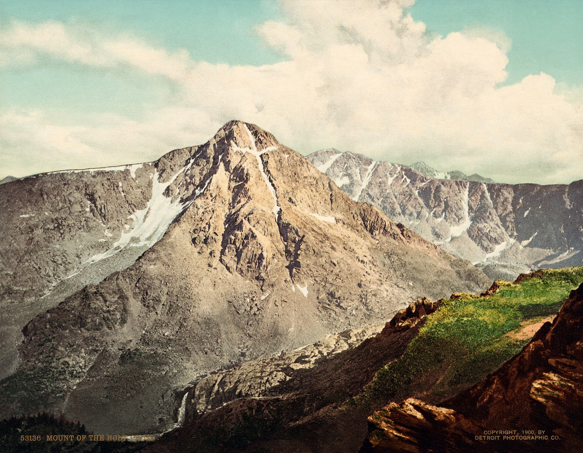
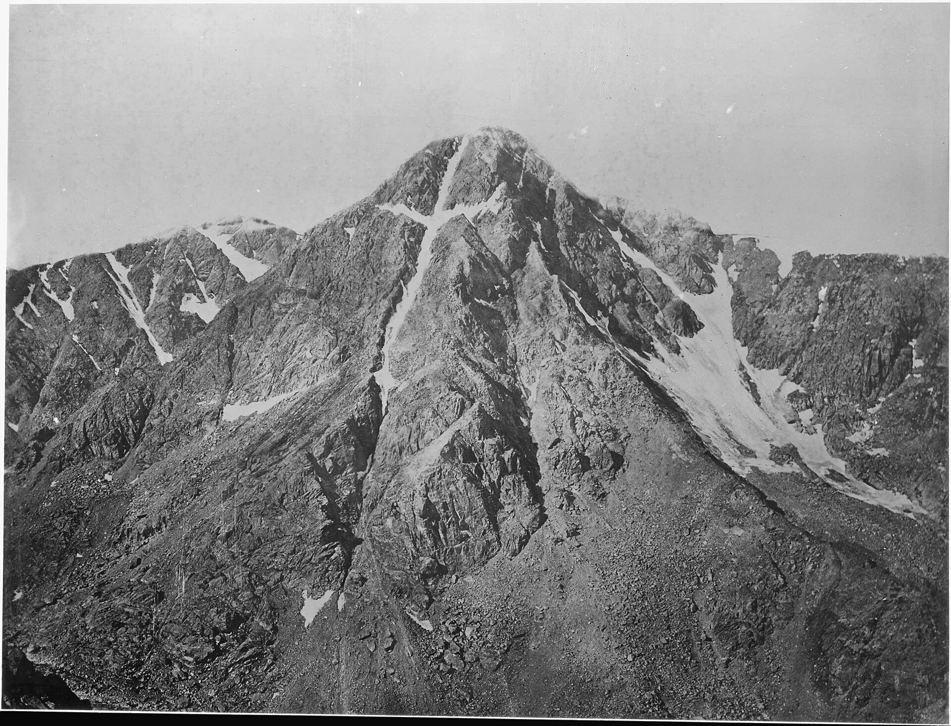
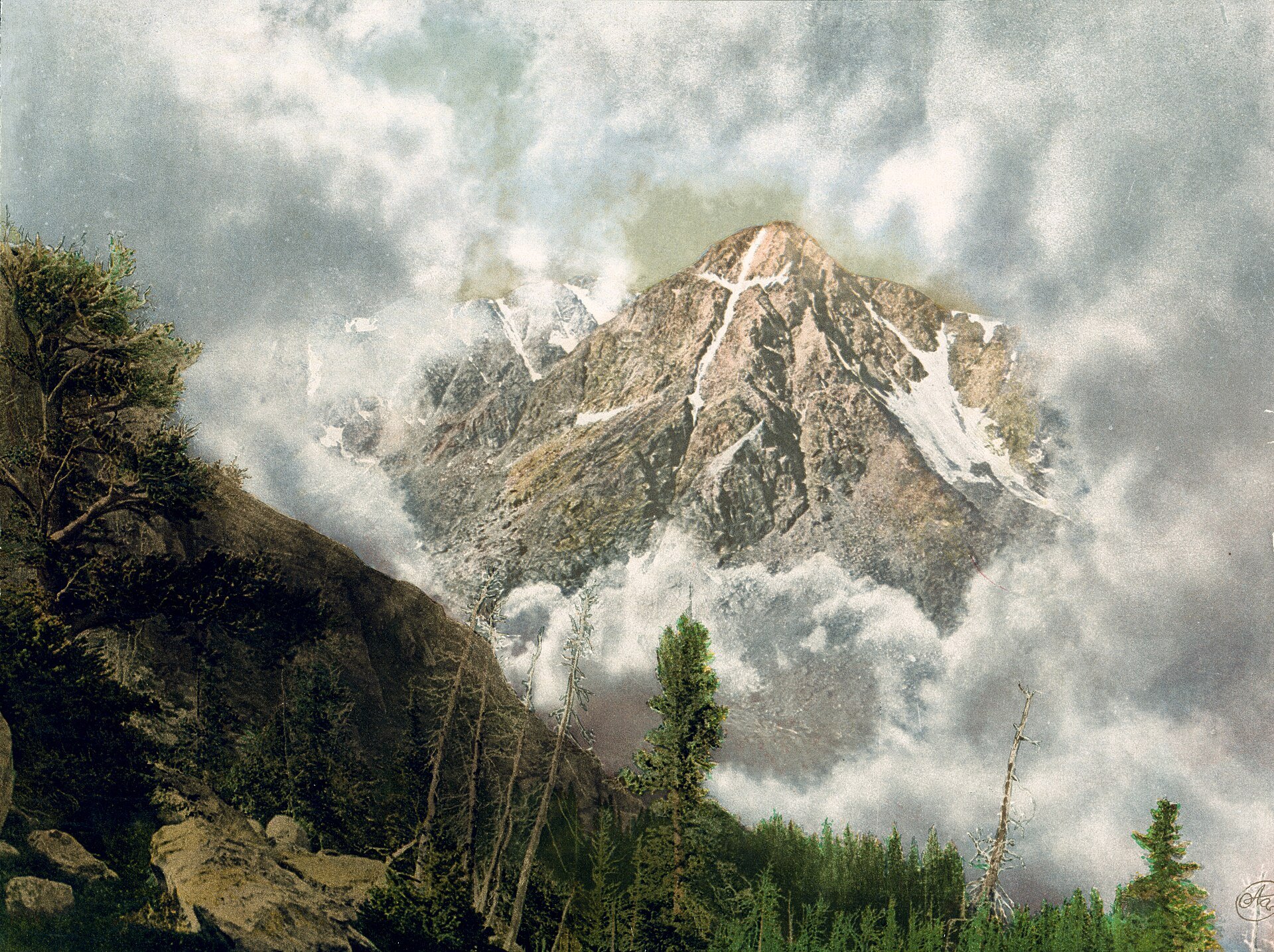
Photo credits: Mount of the Holy Cross and Notch Mountain by Sue Reynolds (CC BY-SA 2.0); Mount of the Holy Cross, 2009 by Jeremiah LaRocco (CC BY-SA 2.0); Notch and Holy Cross by Dennis Yang (CC BY 2.0); Notch Mountain and Mount of the Holy Cross by dog4aday (CC BY 2.0); Entry on The Cross Couloir by OMCV (Public domain); Mount of the Holy Cross, Colorado, 1900 [1900 photochrom print] by Detroit Publishing Co. (Public domain); Mountain of the Holy Cross, Colorado – NARA – 517691 [1873 photograph, U.S. National Archives] by William Henry Jackson (Public domain); Mount of the Holy Cross, Colorado, 1901 [1901 photochrom print] by William Henry Jackson (Public domain). Images via Wikimedia Commons.
News & Events
Tigiwon Road is usually gated for the winter in late November and stays closed to motor vehicles through June 21 (it opens then if snow-free), though hiking and biking the road are allowed. In winter the Forest Service lists Tigiwon Road as a groomed ski and snowshoe route climbing about 8 miles toward Halfmoon Campground. Contact the Eagle-Holy Cross Ranger District at 970-827-5715 for current conditions, or see fs.usda.gov.
Frequently Asked Questions
How tall is Mount of the Holy Cross?
Mount of the Holy Cross is 14,005 feet tall, making it a Colorado fourteener and the highest point in Eagle County. It is the northernmost 14er in the Sawatch Range.
Can you see the cross on Mount of the Holy Cross from the road?
Not easily. The cross faces northeast and is hidden behind Notch Mountain. The best view is from the Notch Mountain Shelter at the end of the Notch Mountain Trail, about 5 miles from the Half Moon Trailhead.
How hard is the Mount of the Holy Cross hike?
Very hard. The Forest Service notes more than 8,000 vertical feet of elevation change round trip, including a 1,000-foot drop from Half Moon Pass that you must regain on the way out, plus miles of walking on rock.
When is Tigiwon Road open?
Tigiwon Road #707 is generally open to vehicles from late June until it is gated in late November. It is closed to motor vehicles May 1 through June 21 and reopens June 21 only if snow-free. Hiking and biking are allowed during closures.
What is near Mount of the Holy Cross?
The town of Minturn is at the trailhead turnoff, and Vail, Beaver Creek and historic Leadville are all within about 45 minutes.
The Half Moon Trailhead is at the end of Tigiwon Road off U.S. Highway 24 near Minturn, CO 81645. Contact the Eagle-Holy Cross Ranger District, 24747 US Highway 24, Minturn, at (970) 827-5715 or visit fs.usda.gov.