
Quandary Peak
Quandary Peak is the big white summit south of Breckenridge that many Coloradans pick as their first fourteener. At about 14,265 feet, it offers a straightforward East Ridge route and huge views of the Tenmile and Gore ranges. Once the snow flies it turns into one of the state’s classic winter summit hikes.
Quandary Peak near Breckenridge, CO
The White River National Forest calls Quandary one of the easier, least technical fourteeners, then adds a fair warning: none of them are truly easy, because of the altitude and fast-changing weather. The standard route follows the long East Ridge from the trees to the tundra and onto a rocky, often snowy crest to the summit. Summit County says the hike takes about six hours on average. Mountain goats often wander the upper slopes, and the peak is part of the 53,804-acre Camp Hale-Continental Divide National Monument, designated in October 2022.
From November through spring, Quandary becomes a winter mountaineering trip. The Forest Service lists the trail for cross-country skiing and snowshoeing as well as hiking, and the snowy ridge photographs beautifully under a deep blue sky. Breckenridge is about 20 minutes away for a post-summit meal, and Breckenridge Ski Resort or the high road over Boreas Pass can round out the trip.
Insider tip: Winter parking at the Quandary Peak Trailhead lot is free and first-come, first-served. The lot is off Highway 9 at Blue Lakes Road (County Road 850). Never park on McCullough Gulch Road, Blue Lakes Road or Highway 9, where Summit County writes $100 tickets. Overnight parking isn’t allowed from midnight to 4 a.m. In winter, bring microspikes or snowshoes, layers for wind chill and a headlamp, start early, turn around if the weather changes, and check avalanche conditions before you go.
Photo Gallery
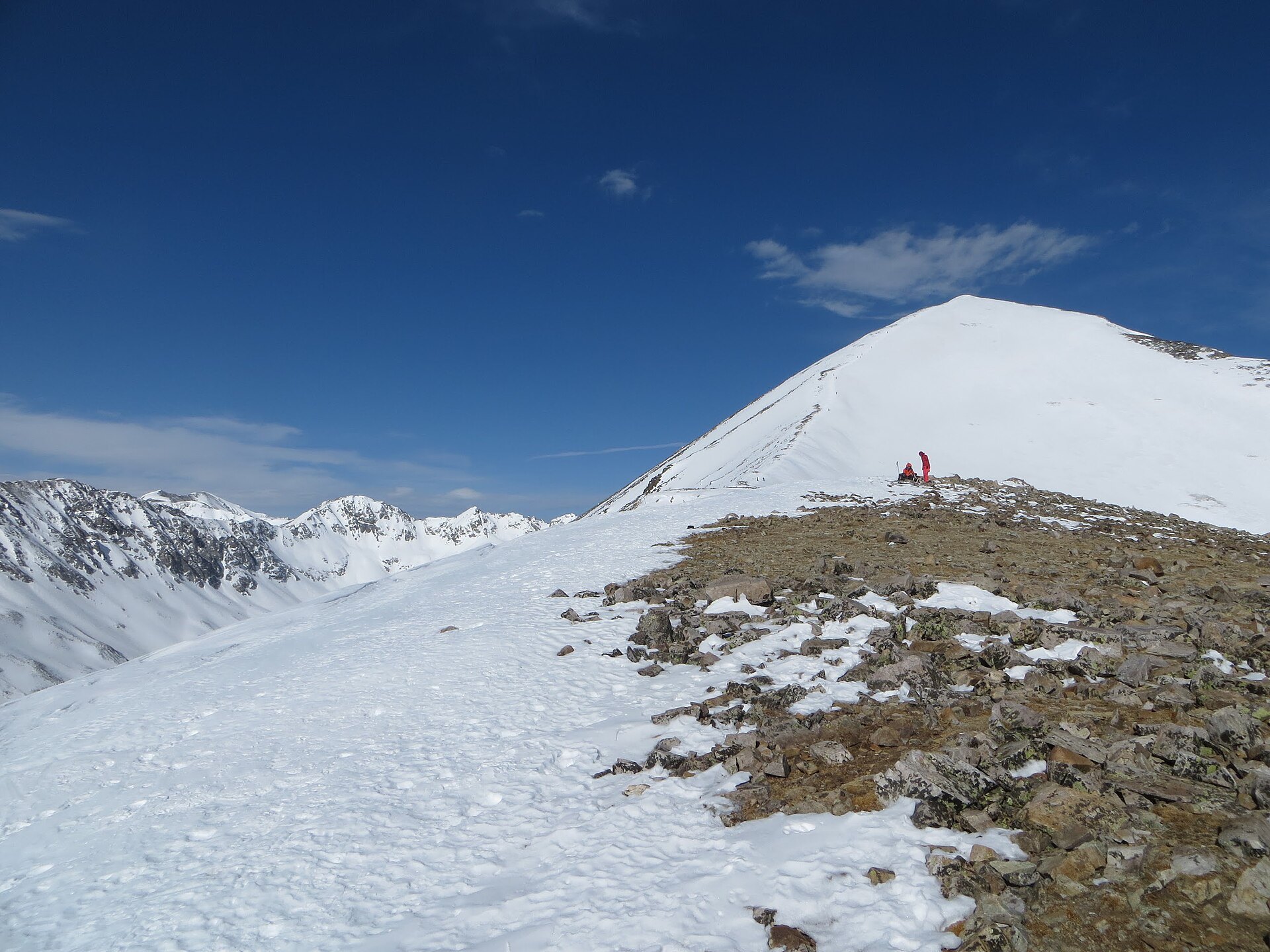
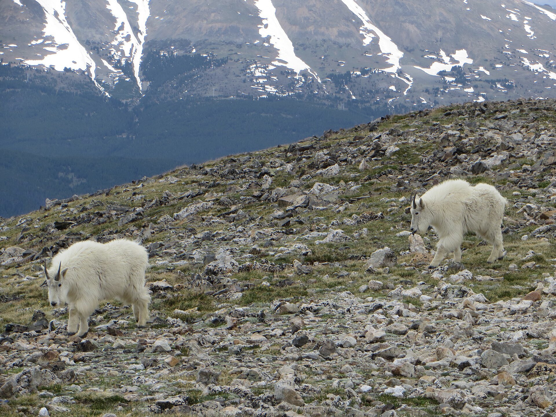
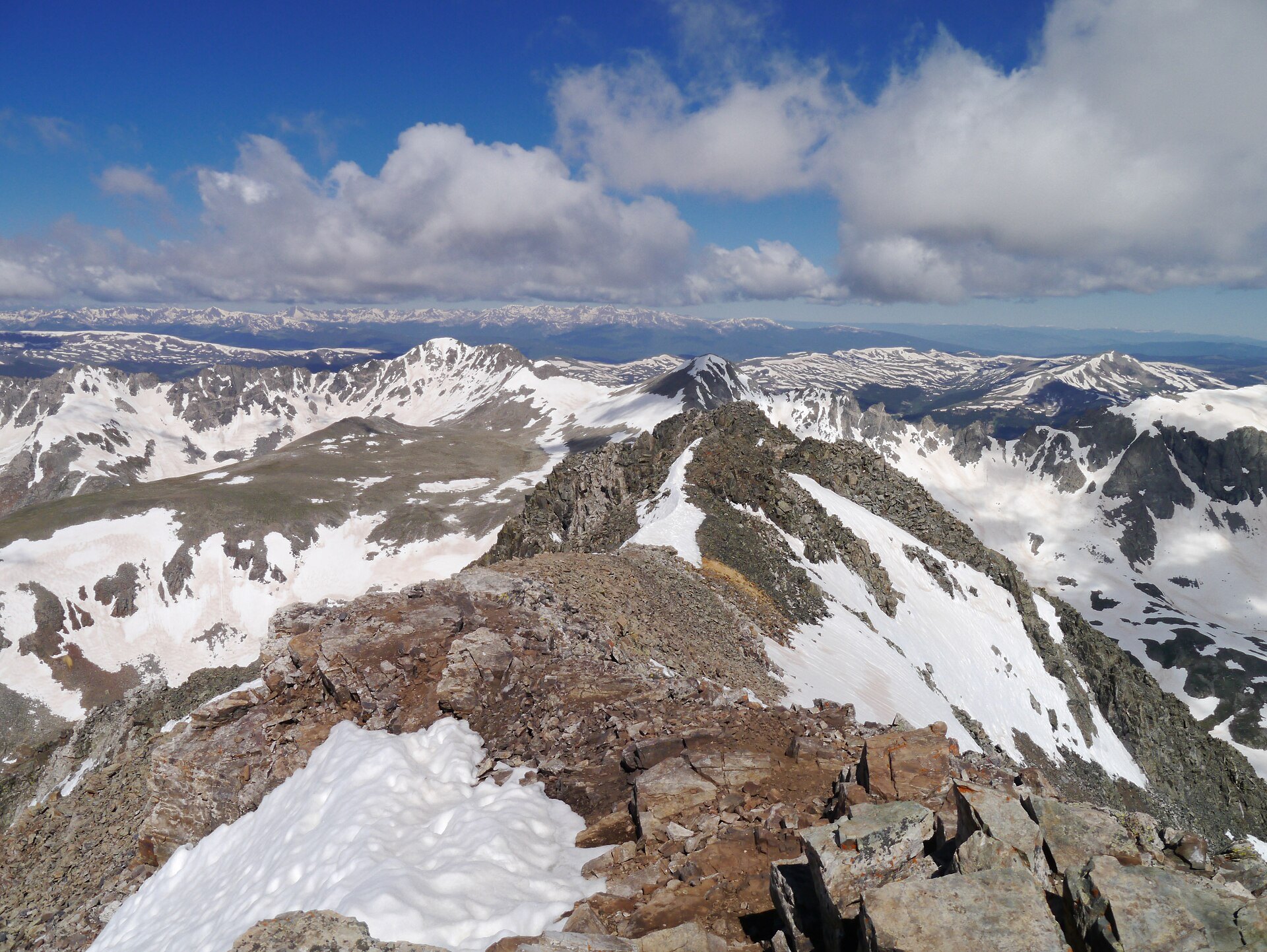
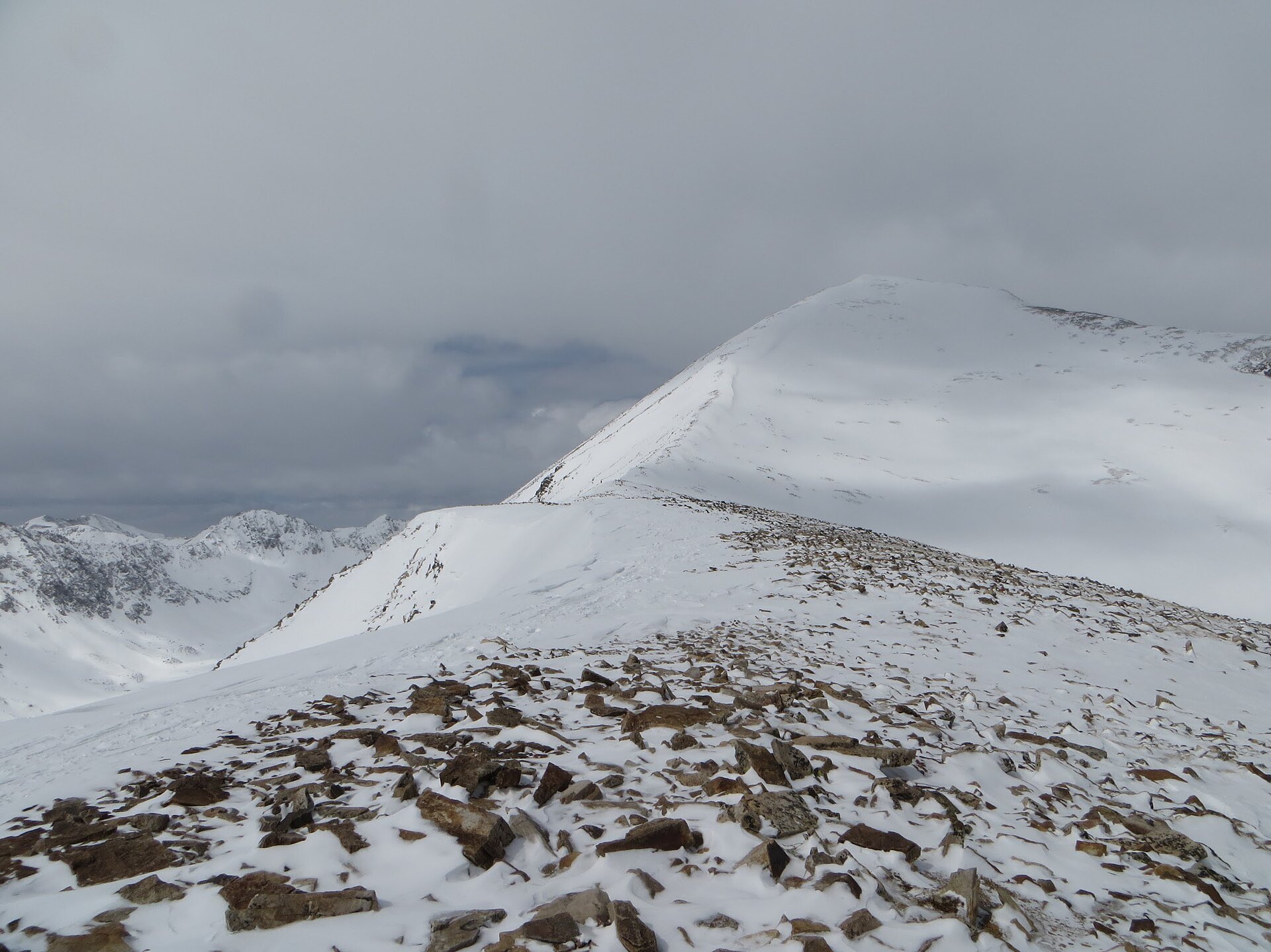
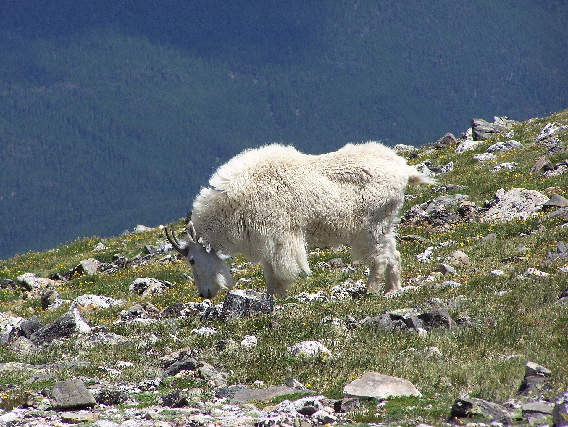
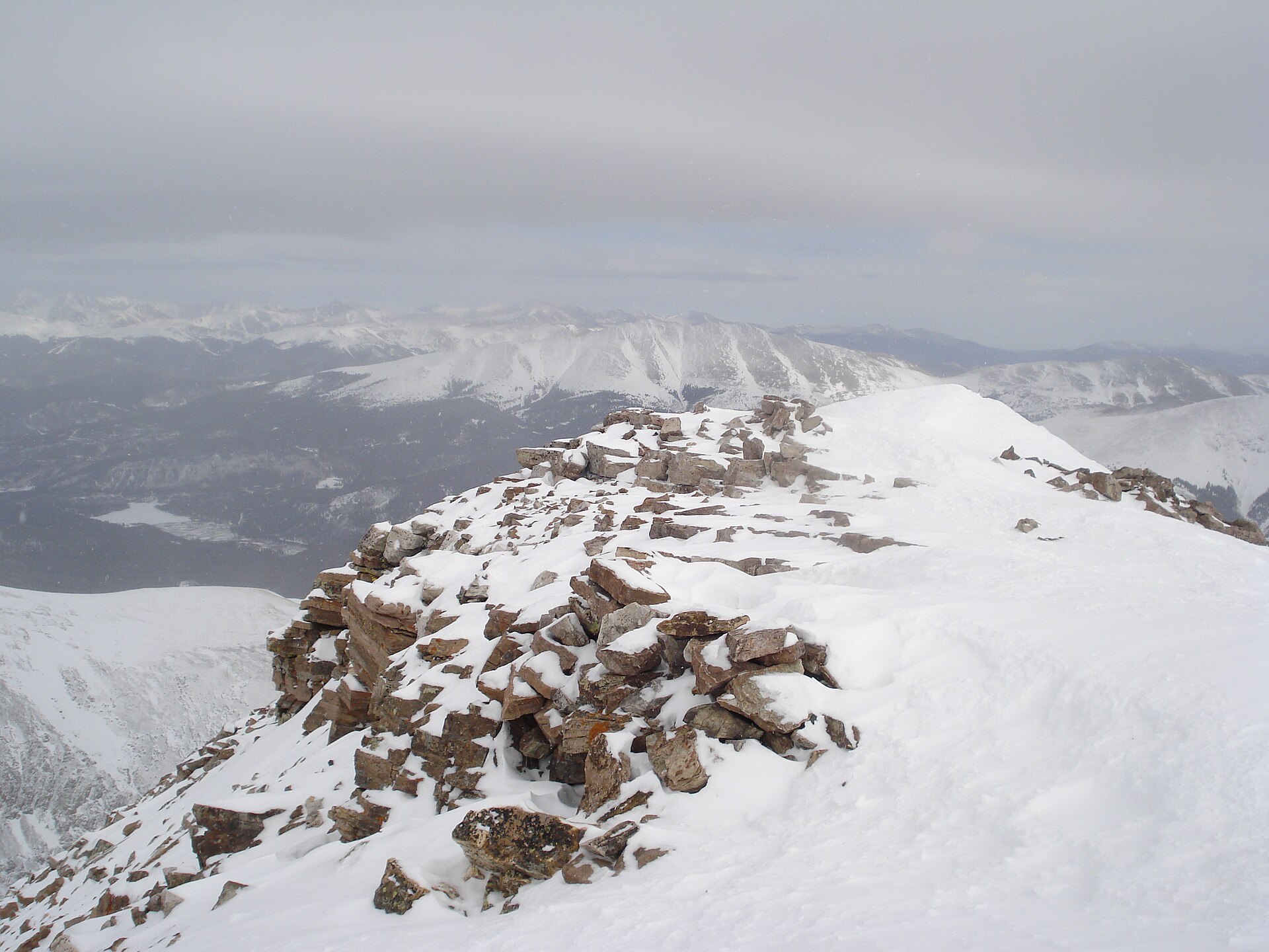
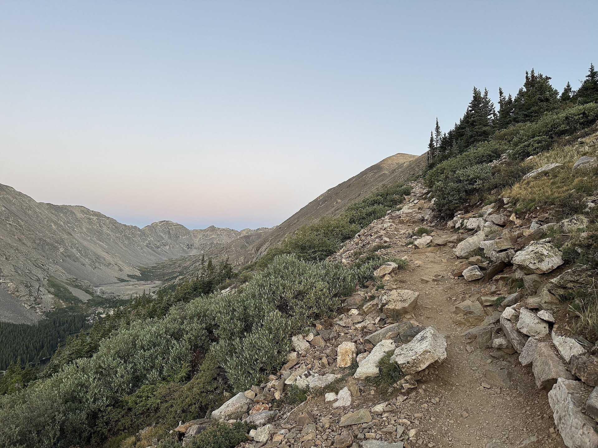
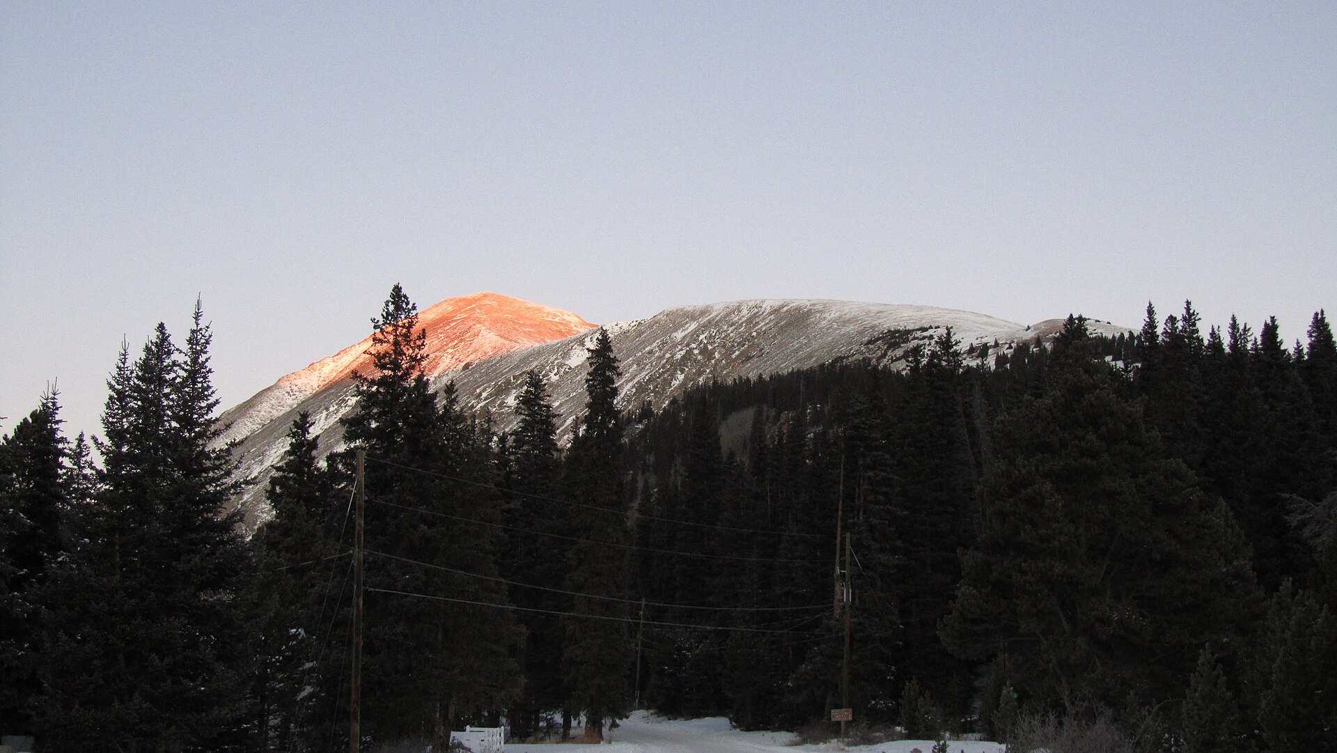
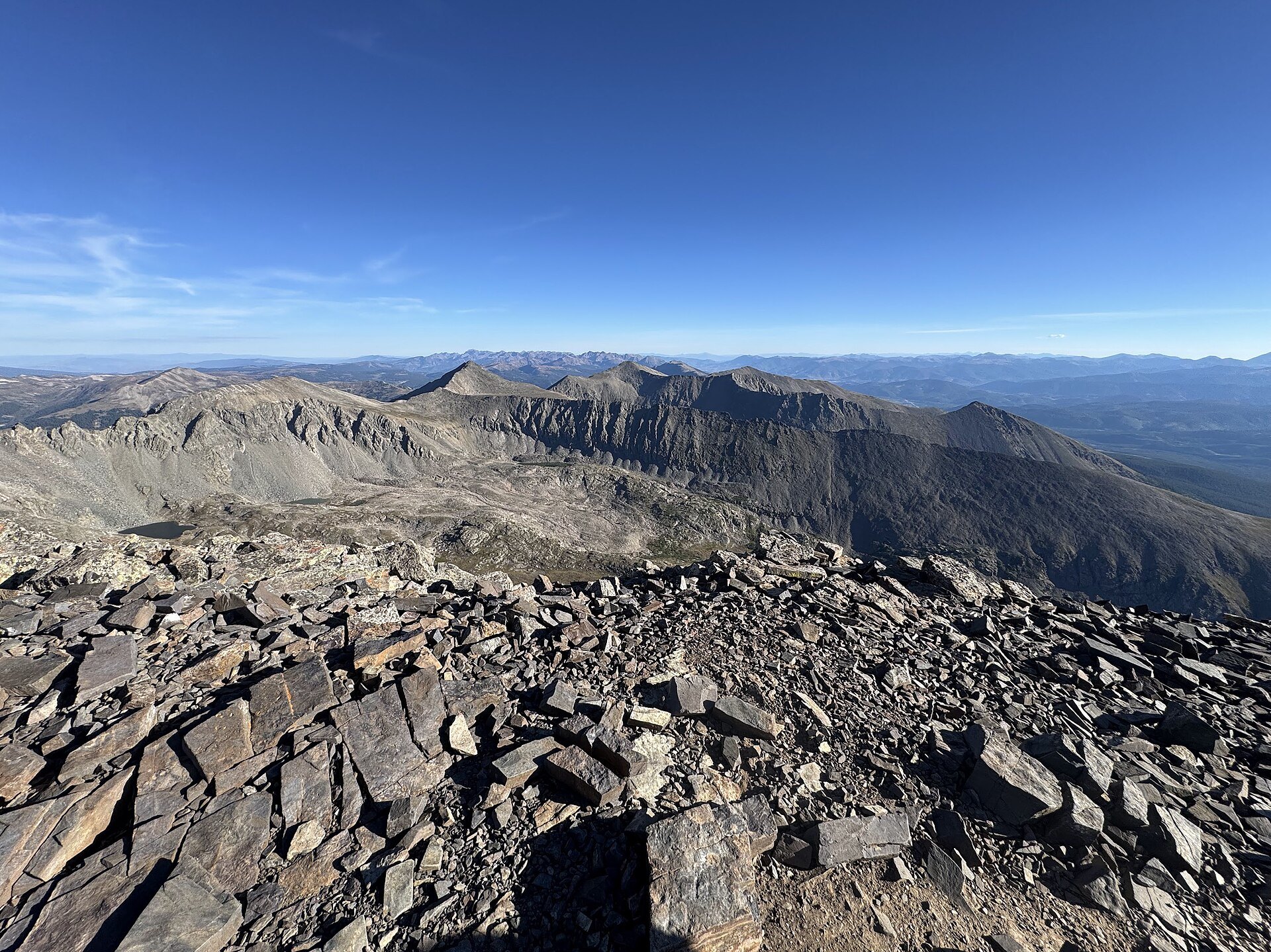
Photo credits: Quandary Peak Upper East Ridge in April by Jsdratm (CC0); Mountain Goats on Quandary Peak by Jsdratm (CC0); Quandary Peak, Colorado, USA (14382068790) by M M (CC BY-SA 2.0); Quandary Peak Upper East Ridge in March by Jsdratm (CC0); Mountain goat Quandary Peak by Mark Tyra (CC BY 2.0); Looking out from the Summit of Mt Quandry by brian gautreau (CC BY 2.0); Lower East Ridge Trail on Quandary Peak by Jsdratm (CC0); Quandary Peak With Alpenglow by Jsdratm (CC0); View North From Summit of Quandary Peak by Jsdratm (CC0). Images via Wikimedia Commons.
News & Events
Summit County’s paid parking reservations and Breckenridge shuttle only run in summer (June 13 to September 13 in 2026), so the trailhead lot is now free and first-come, first-served for the winter. Google Maps can still send drivers to the old trailhead on McCullough Gulch Road. Don’t park there. Use the large signed lot directly off Highway 9. Details are at summitcountyco.gov.
Frequently Asked Questions
How tall is Quandary Peak?
Quandary Peak is roughly 14,265 feet tall, making it one of Colorado’s 14,000-foot peaks. It rises in the Tenmile Range south of Breckenridge.
Can you hike Quandary Peak in winter?
Yes. Quandary is a popular winter climb, and the Forest Service lists snowshoeing and cross-country skiing on the trail. Winter conditions are serious, so bring traction, warm layers and avalanche awareness, and turn back if the weather changes.
Do I need a parking reservation for Quandary Peak?
Only in summer. Reservations at hikequandary.com are required from June 13 to September 13. Outside that window, parking at the Quandary Peak Trailhead lot is free and first-come, first-served.
How long does it take to hike Quandary Peak?
Summit County says the average hike takes about six hours. Winter trips often take longer because of snow, wind and shorter days.
What is near Quandary Peak?
Historic Breckenridge is just up Highway 9, Breckenridge Ski Resort offers lift-served winter fun, and Mount Elbert, Colorado’s highest peak, is a drive away near Leadville.
The Quandary Peak Trailhead lot is off Highway 9 at Blue Lakes Road (County Road 850), about 9 miles south of Breckenridge, CO 80424. For trail information call the Dillon Ranger District at (970) 468-5400 or visit fs.usda.gov.